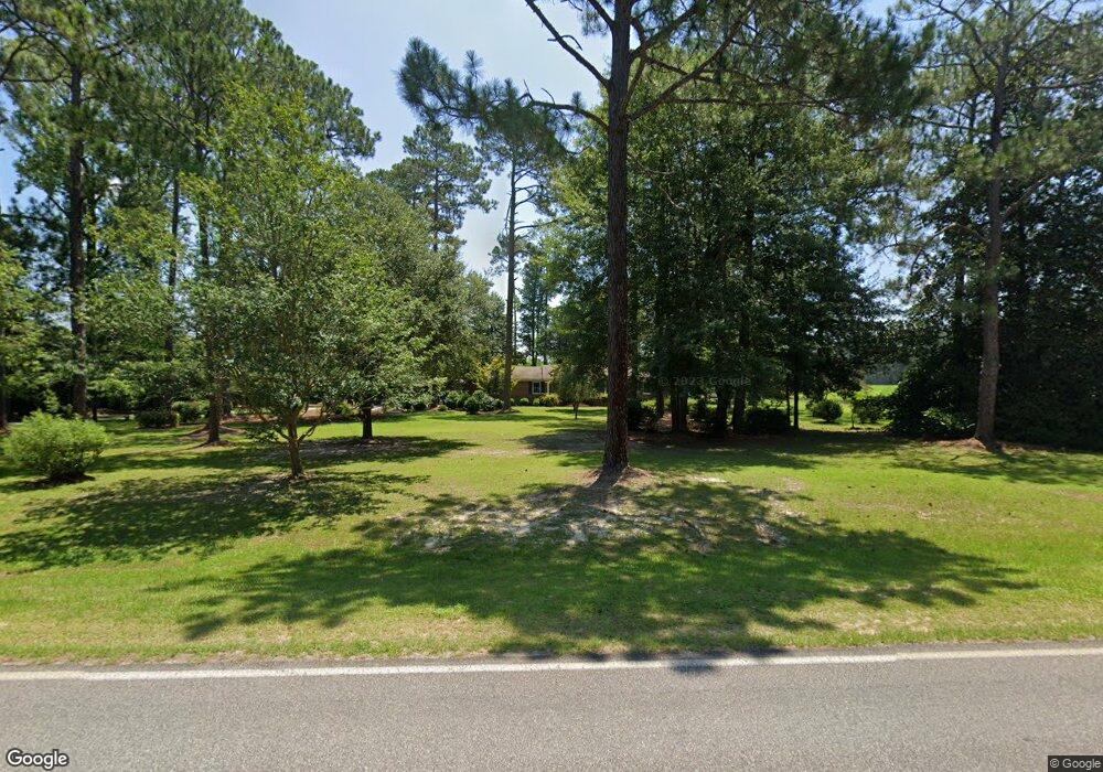
1949 Royal Rd Cordele, GA 31015
Estimated Value: $217,713 - $332,000
3
Beds
3
Baths
2,314
Sq Ft
$116/Sq Ft
Est. Value
About This Home
This home is located at 1949 Royal Rd, Cordele, GA 31015 and is currently estimated at $268,428, approximately $116 per square foot. 1949 Royal Rd is a home located in Crisp County with nearby schools including Crisp County Elementary School, Crisp County Primary School, and Crisp County Middle School.
Ownership History
Date
Name
Owned For
Owner Type
Purchase Details
Closed on
Nov 5, 2019
Sold by
Waldrip Ronald Joe
Bought by
Waldrop Marla Dawn
Current Estimated Value
Home Financials for this Owner
Home Financials are based on the most recent Mortgage that was taken out on this home.
Original Mortgage
$133,000
Outstanding Balance
$115,943
Interest Rate
3.5%
Mortgage Type
New Conventional
Estimated Equity
$152,485
Purchase Details
Closed on
Oct 12, 2016
Sold by
Jonathan A
Bought by
Waldrip Ronald Joe
Purchase Details
Closed on
Dec 13, 1982
Bought by
Nesbitt Jonathon +
Purchase Details
Closed on
Apr 16, 1982
Bought by
Royal Marjorie
Create a Home Valuation Report for This Property
The Home Valuation Report is an in-depth analysis detailing your home's value as well as a comparison with similar homes in the area
Home Values in the Area
Average Home Value in this Area
Purchase History
| Date | Buyer | Sale Price | Title Company |
|---|---|---|---|
| Waldrop Marla Dawn | $140,000 | -- | |
| Waldrip Ronald Joe | $165,000 | -- | |
| Nesbitt Jonathon + | $63,800 | -- | |
| Royal Marjorie | -- | -- |
Source: Public Records
Mortgage History
| Date | Status | Borrower | Loan Amount |
|---|---|---|---|
| Open | Waldrop Marla Dawn | $133,000 |
Source: Public Records
Tax History Compared to Growth
Tax History
| Year | Tax Paid | Tax Assessment Tax Assessment Total Assessment is a certain percentage of the fair market value that is determined by local assessors to be the total taxable value of land and additions on the property. | Land | Improvement |
|---|---|---|---|---|
| 2024 | $1,823 | $69,321 | $4,691 | $64,630 |
| 2023 | $1,830 | $67,177 | $4,691 | $62,486 |
| 2022 | $1,729 | $63,567 | $3,752 | $59,815 |
| 2021 | $1,791 | $60,415 | $3,752 | $56,663 |
| 2020 | $1,735 | $60,415 | $3,752 | $56,663 |
| 2019 | $1,997 | $67,665 | $3,943 | $63,722 |
| 2018 | $1,909 | $62,337 | $4,211 | $58,126 |
| 2017 | $1,917 | $62,337 | $4,211 | $58,126 |
| 2016 | $1,476 | $48,059 | $4,211 | $43,848 |
| 2015 | -- | $48,059 | $4,211 | $43,848 |
| 2014 | -- | $48,059 | $4,211 | $43,848 |
| 2013 | -- | $48,058 | $4,211 | $43,847 |
Source: Public Records
Map
Nearby Homes
- 1022 E 29th Ave
- 724 E 26th Ave
- 615 E 28th Ave
- 618 E 27th Ave
- 607 E 27th Ave
- 619 E 26th Ave
- 723 E 24th Ave
- 304 Timberland Dr
- 510 E 25th Ave
- 2115 Royal Rd
- 912 Rose Ln
- 616 E 23rd Ave
- 1101 Schley Ave
- 0 Pecan St S
- 1606 S 5th St
- 1001 Stewart Ave
- 1002 Camellia Dr
- 705 E 21st Ave
- 720 E 20th Ave
- 1509 E 20th Ave
- 1964 Royal Rd
- 1972 Royal Rd
- 1977 Royal Rd
- 1977 Royal Rd Unit 1
- 1978 Royal Rd
- 1910 Royal Rd
- 1984 Royal Rd
- 1950 Royal Rd
- 1904 Royal Rd
- 1990 Royal Rd
- 1944 Royal Rd
- TBD Royal Rd
- 1014 E 29th Ave
- 108 Slash Cir
- 1010 E 29th Ave
- 1029 E 29th Ave
- 105 Slash Cir
- 1006 E 29th Ave
- 1025 E 29th Ave
- 0 Highway 90 S Unit TRACT 1 3003913