1949 Ward Ave Muscatine, IA 52761
Estimated Value: $258,000 - $352,000
3
Beds
3
Baths
1,643
Sq Ft
$183/Sq Ft
Est. Value
About This Home
This home is located at 1949 Ward Ave, Muscatine, IA 52761 and is currently estimated at $300,104, approximately $182 per square foot. 1949 Ward Ave is a home located in Muscatine County with nearby schools including Muskie Early Learning Center, Madison Elementary School, and Central Middle School.
Ownership History
Date
Name
Owned For
Owner Type
Purchase Details
Closed on
Aug 22, 2025
Sold by
Stoner Steve and Stoner Amanda
Bought by
Stoner Amanda
Current Estimated Value
Purchase Details
Closed on
Oct 29, 2021
Sold by
Estate Of Kenneth L Quigley
Bought by
Harland Charles E and Harland Candace D
Home Financials for this Owner
Home Financials are based on the most recent Mortgage that was taken out on this home.
Original Mortgage
$175,000
Interest Rate
3%
Mortgage Type
New Conventional
Purchase Details
Closed on
Dec 30, 2009
Sold by
Thulen Rodney P and Thulen Dorothy A
Bought by
Ouigley Kenneth L and Keever Lester K
Home Financials for this Owner
Home Financials are based on the most recent Mortgage that was taken out on this home.
Original Mortgage
$171,830
Interest Rate
4.87%
Mortgage Type
FHA
Create a Home Valuation Report for This Property
The Home Valuation Report is an in-depth analysis detailing your home's value as well as a comparison with similar homes in the area
Home Values in the Area
Average Home Value in this Area
Purchase History
| Date | Buyer | Sale Price | Title Company |
|---|---|---|---|
| Stoner Amanda | -- | None Listed On Document | |
| Harland Charles E | $250,000 | None Available | |
| Ouigley Kenneth L | $175,000 | None Available |
Source: Public Records
Mortgage History
| Date | Status | Borrower | Loan Amount |
|---|---|---|---|
| Previous Owner | Harland Charles E | $175,000 | |
| Previous Owner | Ouigley Kenneth L | $171,830 |
Source: Public Records
Tax History Compared to Growth
Tax History
| Year | Tax Paid | Tax Assessment Tax Assessment Total Assessment is a certain percentage of the fair market value that is determined by local assessors to be the total taxable value of land and additions on the property. | Land | Improvement |
|---|---|---|---|---|
| 2025 | $2,688 | $220,920 | $34,340 | $186,580 |
| 2024 | $2,688 | $221,880 | $34,340 | $187,540 |
| 2023 | $2,904 | $217,671 | $34,344 | $183,327 |
| 2022 | $2,478 | $215,750 | $32,400 | $183,350 |
| 2021 | $2,478 | $189,630 | $32,400 | $157,230 |
| 2020 | $2,416 | $180,270 | $27,400 | $152,870 |
| 2019 | $2,472 | $174,310 | $0 | $0 |
| 2018 | $2,402 | $173,640 | $0 | $0 |
| 2017 | $2,402 | $173,640 | $0 | $0 |
| 2016 | $2,530 | $173,640 | $0 | $0 |
| 2015 | $2,530 | $184,850 | $0 | $0 |
| 2014 | $2,730 | $184,850 | $0 | $0 |
Source: Public Records
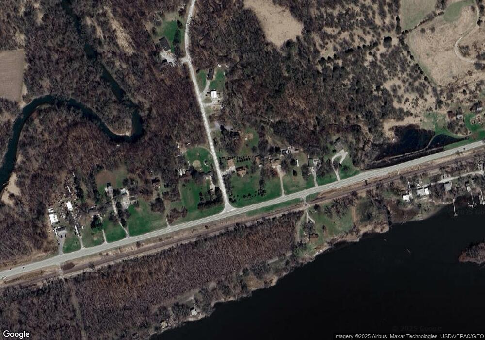
Map
Nearby Homes
- 1875 Stagecoach Ln
- 2143 Madison St
- 3391 Water St
- 3701 165th St
- 2115 Vantage Point Rd
- 6203 116th St
- 15625 80th Ave W
- 11640 61st Avenue Place
- 6218 114th St
- 6594 116th St
- 3881 Highway 61
- 12505 70th Ave
- 13314 175th St W
- 508 Prairie Meadow Dr
- 501 Prairie Meadow Dr
- 680 Sweet Wood Ln
- 401 Dolan Dr
- 423 Kevin Rd
- 126 S Genessee St
- 702 N Juniata St
- 3647 Highway 22
- 1952 Ward Ave
- 3647 Highway 22
- 1943 Ward Ave
- 1942 Ward Ave
- 3649 Highway 22
- 3652 Highway 22
- 3651 Highway 22
- 1937 Ward Ave
- 3635 Highway 22
- 3635 Highway 22
- 3623 Highway 22
- 3636 Highway 22
- 1934 Ward Ave
- 3621 Iowa 22
- 3621 Highway 22
- 3664 Dismore Rd
- 3624 Highway 22
- 3662 Dismore Rd
- 3617 Highway 22