19498 Red Wing Blvd Hastings, MN 55033
Ravenna NeighborhoodEstimated Value: $482,000 - $525,000
3
Beds
3
Baths
1,785
Sq Ft
$283/Sq Ft
Est. Value
About This Home
This home is located at 19498 Red Wing Blvd, Hastings, MN 55033 and is currently estimated at $505,498, approximately $283 per square foot. 19498 Red Wing Blvd is a home located in Dakota County with nearby schools including Kennedy Elementary School, Hastings Middle School, and Hastings High School.
Ownership History
Date
Name
Owned For
Owner Type
Purchase Details
Closed on
Jul 21, 2017
Sold by
Brand Arvid M and Brand Marjio J
Bought by
Otterness Peter
Current Estimated Value
Home Financials for this Owner
Home Financials are based on the most recent Mortgage that was taken out on this home.
Original Mortgage
$260,000
Outstanding Balance
$216,431
Interest Rate
3.96%
Mortgage Type
New Conventional
Estimated Equity
$289,067
Create a Home Valuation Report for This Property
The Home Valuation Report is an in-depth analysis detailing your home's value as well as a comparison with similar homes in the area
Home Values in the Area
Average Home Value in this Area
Purchase History
| Date | Buyer | Sale Price | Title Company |
|---|---|---|---|
| Otterness Peter | $325,000 | Dca Title |
Source: Public Records
Mortgage History
| Date | Status | Borrower | Loan Amount |
|---|---|---|---|
| Open | Otterness Peter | $260,000 |
Source: Public Records
Tax History Compared to Growth
Tax History
| Year | Tax Paid | Tax Assessment Tax Assessment Total Assessment is a certain percentage of the fair market value that is determined by local assessors to be the total taxable value of land and additions on the property. | Land | Improvement |
|---|---|---|---|---|
| 2024 | $3,420 | $496,400 | $110,700 | $385,700 |
| 2023 | $3,420 | $483,400 | $106,500 | $376,900 |
| 2022 | $3,006 | $467,300 | $106,300 | $361,000 |
| 2021 | $3,360 | $396,500 | $92,400 | $304,100 |
| 2020 | $3,160 | $407,000 | $92,400 | $314,600 |
| 2019 | $3,121 | $372,400 | $88,000 | $284,400 |
| 2018 | $3,109 | $347,100 | $83,800 | $263,300 |
| 2017 | $2,966 | $332,700 | $87,700 | $245,000 |
| 2016 | $2,917 | $318,900 | $83,500 | $235,400 |
| 2015 | $2,888 | $296,627 | $78,151 | $218,476 |
| 2014 | -- | $294,883 | $77,423 | $217,460 |
| 2013 | -- | $274,282 | $69,674 | $204,608 |
Source: Public Records
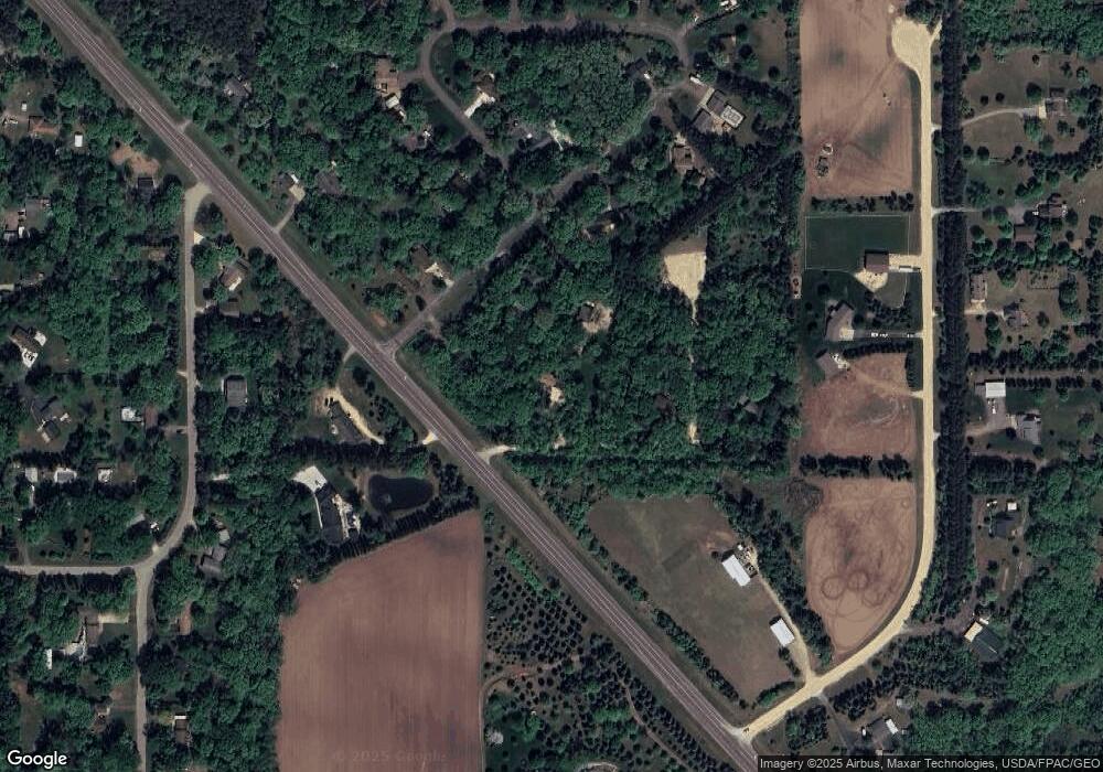
Map
Nearby Homes
- XXX Red Wing Blvd
- 20091 Red Wing Blvd
- Lot 3 Orlando Ave
- Lot 1 Orlando Ave
- Lot 2 Orlando Ave
- XXX Otero Ave
- 20550 Otero Ave
- TBD Ravenna Trail
- 20430 Rhoda Ave
- 21211 Red Wing Blvd
- 17994 Michael Ave
- 13550 210th St E
- 4198 Starling Dr
- 545 Tuttle Dr
- 115 Kinglet Dr
- 182 Sandpiper Cir
- 2341 Glacier Way
- 2211 Glacier Way
- 15391 Ravenna Trail
- 2422 Rushmore Rd
- 19500 Red Wing Blvd
- 19486 Bauer Cir
- 19482 Bauer Cir
- 19478 Bauer Cir
- 19450 Red Wing Blvd
- 19430 Red Wing Blvd
- 19434 Bauer Cir
- 19497 Red Wing Blvd
- 19474 Bauer Cir
- xxx Oxley Ave
- 19605 Pine Ridge Rd
- 19555 Pine Ridge Rd
- 19438 Bauer Cir
- 19400 Red Wing Blvd
- 19470 Bauer Cir
- 19460 Bauer Cir
- 19440 Bauer Cir
- 19450 Oxley Ave
- 19478 Oxley Ave
- 19420 Oxley Ave