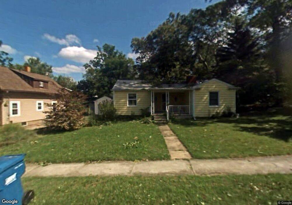
195 Axtel St Amherst, OH 44001
Estimated Value: $181,003 - $223,000
2
Beds
1
Bath
1,371
Sq Ft
$142/Sq Ft
Est. Value
About This Home
This home is located at 195 Axtel St, Amherst, OH 44001 and is currently estimated at $195,001, approximately $142 per square foot. 195 Axtel St is a home located in Lorain County with nearby schools including Powers Elementary School, Walter G. Nord Middle School, and Amherst Junior High School.
Ownership History
Date
Name
Owned For
Owner Type
Purchase Details
Closed on
Feb 2, 2004
Sold by
Mks Home Solutions Llc
Bought by
Stark Kenneth M and Stark Amanda L
Current Estimated Value
Purchase Details
Closed on
Nov 11, 2003
Sold by
Stark Kenneth M and Stark Amanda L
Bought by
Mks Home Solutions Llc
Purchase Details
Closed on
Mar 16, 2001
Sold by
Janet Wesolowski
Bought by
Stark Kenneth M and Stark Amanda L
Home Financials for this Owner
Home Financials are based on the most recent Mortgage that was taken out on this home.
Original Mortgage
$75,000
Interest Rate
7.13%
Create a Home Valuation Report for This Property
The Home Valuation Report is an in-depth analysis detailing your home's value as well as a comparison with similar homes in the area
Home Values in the Area
Average Home Value in this Area
Purchase History
| Date | Buyer | Sale Price | Title Company |
|---|---|---|---|
| Stark Kenneth M | -- | -- | |
| Mks Home Solutions Llc | -- | -- | |
| Stark Kenneth M | $79,000 | -- |
Source: Public Records
Mortgage History
| Date | Status | Borrower | Loan Amount |
|---|---|---|---|
| Previous Owner | Stark Kenneth M | $75,000 |
Source: Public Records
Tax History
| Year | Tax Paid | Tax Assessment Tax Assessment Total Assessment is a certain percentage of the fair market value that is determined by local assessors to be the total taxable value of land and additions on the property. | Land | Improvement |
|---|---|---|---|---|
| 2024 | $2,036 | $49,214 | $8,477 | $40,737 |
| 2023 | $1,948 | $39,680 | $7,938 | $31,742 |
| 2022 | $1,871 | $39,680 | $7,938 | $31,742 |
| 2021 | $1,875 | $39,680 | $7,940 | $31,740 |
| 2020 | $1,791 | $33,650 | $6,730 | $26,920 |
| 2019 | $1,757 | $33,650 | $6,730 | $26,920 |
| 2018 | $1,766 | $33,650 | $6,730 | $26,920 |
| 2017 | $1,779 | $31,830 | $5,710 | $26,120 |
| 2016 | $1,794 | $31,830 | $5,710 | $26,120 |
| 2015 | $1,786 | $31,830 | $5,710 | $26,120 |
| 2014 | $1,646 | $29,200 | $5,240 | $23,960 |
| 2013 | $1,652 | $29,200 | $5,240 | $23,960 |
Source: Public Records
Map
Nearby Homes
- 2176 Myla Way
- 661 Tenney Ave
- 774 Tenney Ave
- 578 N Main St
- 495 Church St
- 703 N Main St
- 0 Stonebridge Dr
- 376 Taylor St
- 472 Sunset Dr
- 135 Ridgeland Dr
- 120 Springvale Dr
- 500 N Lake St
- 772 Shadow Creek Trail
- 653 Brennan Dr
- 701 Shadow Creek Trail
- 757 W Martin Ave
- 46580 Middle Ridge Rd
- 320 Pebble Creek Ct
- 109 Beaver Creek Trail
- 423 Quarry Creek Dr
Your Personal Tour Guide
Ask me questions while you tour the home.