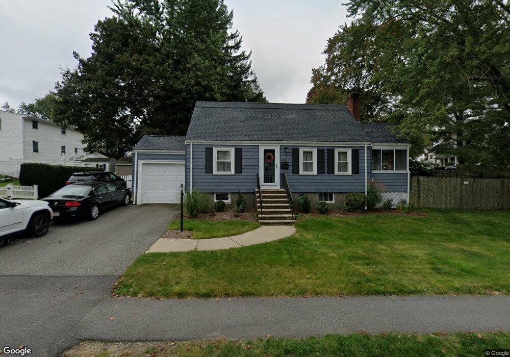
195 Beal Rd Waltham, MA 02453
Warrendale NeighborhoodEstimated Value: $914,000 - $1,004,000
3
Beds
3
Baths
1,740
Sq Ft
$541/Sq Ft
Est. Value
About This Home
This home is located at 195 Beal Rd, Waltham, MA 02453 and is currently estimated at $940,535, approximately $540 per square foot. 195 Beal Rd is a home located in Middlesex County with nearby schools including James Fitzgerald Elementary School, John W. Mcdevitt Middle School, and Waltham Sr High School.
Ownership History
Date
Name
Owned For
Owner Type
Purchase Details
Closed on
Jul 1, 1996
Sold by
Ventura Richard B and Ventura Kristine M
Bought by
Poillucci Robert W
Current Estimated Value
Purchase Details
Closed on
Aug 30, 1991
Sold by
Marciante Damian and Theall Sheree
Bought by
Ventura Richard B
Purchase Details
Closed on
Mar 13, 1987
Sold by
Cedrone Donato
Bought by
Marciante Damian
Create a Home Valuation Report for This Property
The Home Valuation Report is an in-depth analysis detailing your home's value as well as a comparison with similar homes in the area
Home Values in the Area
Average Home Value in this Area
Purchase History
| Date | Buyer | Sale Price | Title Company |
|---|---|---|---|
| Poillucci Robert W | $199,000 | -- | |
| Ventura Richard B | $175,000 | -- | |
| Marciante Damian | $167,000 | -- |
Source: Public Records
Mortgage History
| Date | Status | Borrower | Loan Amount |
|---|---|---|---|
| Open | Marciante Damian | $246,000 | |
| Closed | Marciante Damian | $25,000 | |
| Previous Owner | Marciante Damian | $125,000 |
Source: Public Records
Tax History Compared to Growth
Tax History
| Year | Tax Paid | Tax Assessment Tax Assessment Total Assessment is a certain percentage of the fair market value that is determined by local assessors to be the total taxable value of land and additions on the property. | Land | Improvement |
|---|---|---|---|---|
| 2025 | $7,167 | $729,800 | $468,800 | $261,000 |
| 2024 | $6,780 | $703,300 | $446,100 | $257,200 |
| 2023 | $6,903 | $668,900 | $423,400 | $245,500 |
| 2022 | $6,939 | $622,900 | $393,200 | $229,700 |
| 2021 | $6,267 | $609,100 | $393,200 | $215,900 |
| 2020 | $6,813 | $570,100 | $362,900 | $207,200 |
| 2019 | $6,826 | $539,200 | $355,200 | $184,000 |
| 2018 | $6,299 | $499,500 | $328,900 | $170,600 |
| 2017 | $5,894 | $469,300 | $298,700 | $170,600 |
| 2016 | $5,235 | $427,700 | $257,100 | $170,600 |
| 2015 | $4,899 | $373,100 | $226,800 | $146,300 |
Source: Public Records
Map
Nearby Homes
- 78 Barbara Rd Unit 1
- 21 Warren St Unit 2-4
- 71 Gleason St
- 266 Linden St
- 34 Cedar Hill Ln
- 253 Sycamore St Unit 253
- 59 Farnum Rd
- 51 Harrington St Unit 51
- 51 Harrington St Unit 53
- 5 Chapman St
- 63-65 Evans St
- 100 Shirley Rd
- 26 Brookfield Rd
- 38 Carey Ave Unit 3
- 38 Carey Ave Unit 6
- 164 Grove St
- 57 Pierce Rd Unit 57
- 1 Bridgham Ave
- 186 Lexington St Unit 8
- 220 Grove St Unit 1