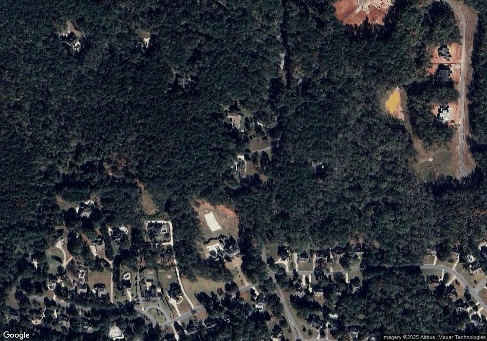
195 Crabapple Ln Tyrone, GA 30290
Estimated Value: $610,000 - $767,187
--
Bed
3
Baths
2,627
Sq Ft
$259/Sq Ft
Est. Value
About This Home
This home is located at 195 Crabapple Ln, Tyrone, GA 30290 and is currently estimated at $681,547, approximately $259 per square foot. 195 Crabapple Ln is a home located in Fayette County with nearby schools including Crabapple Lane Elementary School, Flat Rock Middle School, and Sandy Creek High School.
Ownership History
Date
Name
Owned For
Owner Type
Purchase Details
Closed on
Dec 7, 2022
Sold by
Maher John J
Bought by
Maher Revocable Trust
Current Estimated Value
Purchase Details
Closed on
Oct 15, 2013
Sold by
Gonczi Margaret Anne Maher
Bought by
Maher John J and Maher Cynthia M
Purchase Details
Closed on
Oct 22, 2001
Sold by
Maher John J
Bought by
Maher Mary B
Create a Home Valuation Report for This Property
The Home Valuation Report is an in-depth analysis detailing your home's value as well as a comparison with similar homes in the area
Home Values in the Area
Average Home Value in this Area
Purchase History
| Date | Buyer | Sale Price | Title Company |
|---|---|---|---|
| Maher Revocable Trust | -- | -- | |
| Maher John J | $240,000 | -- | |
| Maher Mary B | -- | -- |
Source: Public Records
Tax History Compared to Growth
Tax History
| Year | Tax Paid | Tax Assessment Tax Assessment Total Assessment is a certain percentage of the fair market value that is determined by local assessors to be the total taxable value of land and additions on the property. | Land | Improvement |
|---|---|---|---|---|
| 2024 | $7,820 | $260,376 | $100,600 | $159,776 |
| 2023 | $7,820 | $239,908 | $88,028 | $151,880 |
| 2022 | $6,837 | $222,676 | $78,596 | $144,080 |
| 2021 | $5,861 | $188,508 | $72,308 | $116,200 |
| 2020 | $5,149 | $164,872 | $61,472 | $103,400 |
| 2019 | $5,056 | $160,312 | $61,472 | $98,840 |
| 2018 | $4,725 | $148,272 | $56,792 | $91,480 |
| 2017 | $4,281 | $133,856 | $55,616 | $78,240 |
| 2016 | $4,068 | $124,616 | $55,616 | $69,000 |
| 2015 | $3,908 | $117,736 | $55,616 | $62,120 |
| 2014 | $3,242 | $95,996 | $47,156 | $48,840 |
| 2013 | -- | $111,256 | $0 | $0 |
Source: Public Records
Map
Nearby Homes
- 255 Cicely Way
- 230 Smokerise Trace
- Lot 3 Dogwood Trail Unit 5 ACRES
- 300 Abercorn Square
- 100 Smokerise Trace
- 301 Abercorn Square
- 504 Telfair Park
- 115 Cottage Grove
- 502 Samiel Point
- 108 Tullamore Trail
- 160 Wickham Dr
- 159 Sims Rd
- 806 Smokey Way
- 804 Ridgestone Ct
- 140 Devonshire Place
- 62 Smokerise Point
- 100 Leisure Trail
- 132 Sea Island Dr
- 602 Embassy Ct
- 206 Las Brasis Ct
- 191 Crabapple Ln
- 321 Loring Ln
- 325 Loring Ln Unit 124
- 325 Loring Ln
- 327 Loring Ln
- 175 Crabapple Ln
- 329 Loring Ln
- 263 Greenwood Ln
- 263 Greenwood Ln Unit 5.65 Ac
- 331 Loring Ln
- 338 Loring Ln
- 336 Loring Ln
- 333 Loring Ln
- 334 Loring Ln
- 272 Greenwood Ln
- 340 Loring Ln
- 265 Greenwood Ln
- 332 Loring Ln
- 342 Loring Ln
- 276 Greenwood Ln
