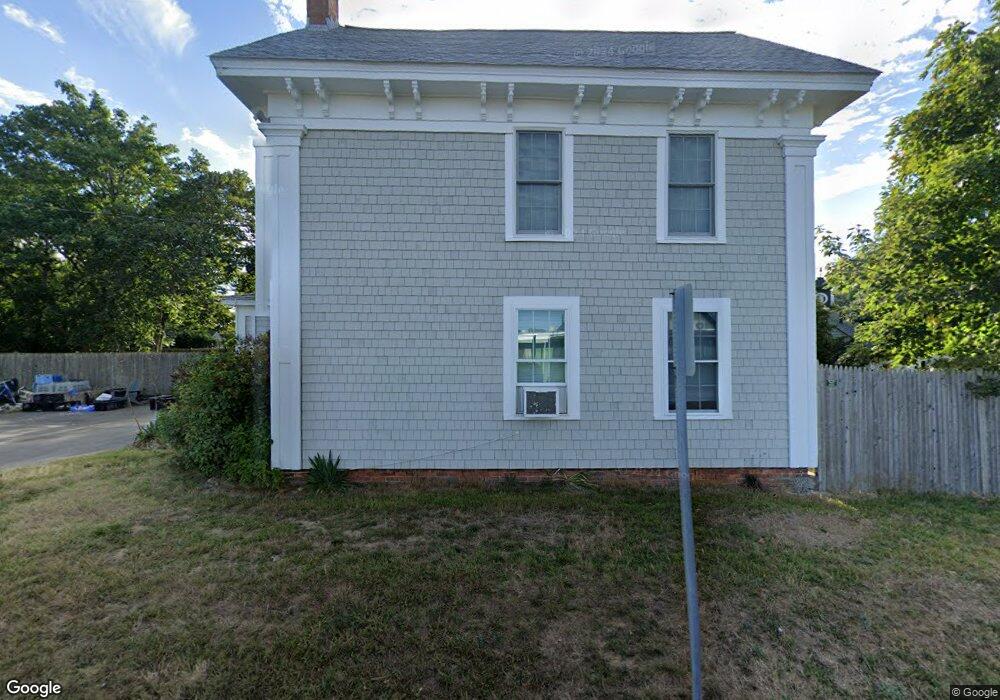
195 Depot St Dennis Port, MA 02639
Dennis Port NeighborhoodEstimated Value: $585,000 - $812,000
4
Beds
2
Baths
2,189
Sq Ft
$309/Sq Ft
Est. Value
About This Home
This home is located at 195 Depot St, Dennis Port, MA 02639 and is currently estimated at $677,266, approximately $309 per square foot. 195 Depot St is a home located in Barnstable County with nearby schools including Dennis-Yarmouth Regional High School and St. Pius X. School.
Ownership History
Date
Name
Owned For
Owner Type
Purchase Details
Closed on
Dec 18, 2020
Sold by
Burns Gregory A
Bought by
Dennis Oyster Co Hldg Llc
Current Estimated Value
Purchase Details
Closed on
Apr 23, 2007
Sold by
Preston Ruth C
Bought by
Canty Carol Ann and Preston Patricia Ann
Create a Home Valuation Report for This Property
The Home Valuation Report is an in-depth analysis detailing your home's value as well as a comparison with similar homes in the area
Home Values in the Area
Average Home Value in this Area
Purchase History
| Date | Buyer | Sale Price | Title Company |
|---|---|---|---|
| Dennis Oyster Co Hldg Llc | -- | None Available | |
| Canty Carol Ann | -- | -- |
Source: Public Records
Tax History Compared to Growth
Tax History
| Year | Tax Paid | Tax Assessment Tax Assessment Total Assessment is a certain percentage of the fair market value that is determined by local assessors to be the total taxable value of land and additions on the property. | Land | Improvement |
|---|---|---|---|---|
| 2025 | $1,901 | $439,100 | $241,000 | $198,100 |
| 2024 | $1,851 | $421,700 | $231,700 | $190,000 |
| 2023 | $1,787 | $382,700 | $210,700 | $172,000 |
| 2022 | $1,782 | $318,200 | $189,800 | $128,400 |
| 2021 | $1,818 | $301,500 | $186,000 | $115,500 |
| 2020 | $1,744 | $285,900 | $171,700 | $114,200 |
| 2019 | $1,762 | $285,600 | $168,400 | $117,200 |
| 2018 | $1,780 | $280,700 | $173,600 | $107,100 |
| 2017 | $1,667 | $271,000 | $160,300 | $110,700 |
| 2016 | $1,738 | $266,100 | $167,000 | $99,100 |
| 2015 | $1,703 | $266,100 | $167,000 | $99,100 |
| 2014 | $1,582 | $249,200 | $146,900 | $102,300 |
Source: Public Records
Map
Nearby Homes
- 159 Center St Unit 22
- 12 Cross St
- 221 Upper County Rd Unit 2A
- 221 Upper County Rd Unit 2A
- 12 Candlewood Ln Unit 2-9
- 47 Telegraph Rd Unit 1
- 9 Country Ln
- 73 Division St
- 26 Manning Rd
- 166 Upper County Rd Unit 1-4
- 141 Division St
- 141 Division St
- 148 Belmont Rd
- 40 Willow St
- 45 Route 28
- 268 Main St
- 72 Bassett Ln
- 79 Massachusetts 28
- 102 Sea St