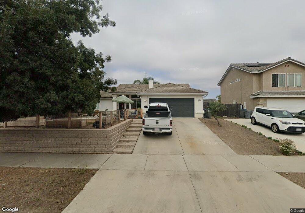
195 E Chestnut St Nipomo, CA 93444
Estimated Value: $676,616 - $734,000
3
Beds
2
Baths
1,459
Sq Ft
$485/Sq Ft
Est. Value
About This Home
This home is located at 195 E Chestnut St, Nipomo, CA 93444 and is currently estimated at $707,154, approximately $484 per square foot. 195 E Chestnut St is a home located in San Luis Obispo County with nearby schools including Nipomo Elementary School, Mesa Middle School, and Nipomo High School.
Ownership History
Date
Name
Owned For
Owner Type
Purchase Details
Closed on
May 6, 2021
Sold by
Murphy Tim T and Murphy Kathryn H
Bought by
Caron Mitchell and Caron Diane
Current Estimated Value
Home Financials for this Owner
Home Financials are based on the most recent Mortgage that was taken out on this home.
Original Mortgage
$440,000
Interest Rate
2.9%
Mortgage Type
New Conventional
Purchase Details
Closed on
Apr 29, 2008
Sold by
Murphy James N
Bought by
Murphy Tim T and Murphy Kathryn H
Create a Home Valuation Report for This Property
The Home Valuation Report is an in-depth analysis detailing your home's value as well as a comparison with similar homes in the area
Home Values in the Area
Average Home Value in this Area
Purchase History
| Date | Buyer | Sale Price | Title Company |
|---|---|---|---|
| Caron Mitchell | $550,000 | Fidelity National Title Co | |
| Murphy Tim T | -- | None Available |
Source: Public Records
Mortgage History
| Date | Status | Borrower | Loan Amount |
|---|---|---|---|
| Previous Owner | Caron Mitchell | $440,000 |
Source: Public Records
Tax History Compared to Growth
Tax History
| Year | Tax Paid | Tax Assessment Tax Assessment Total Assessment is a certain percentage of the fair market value that is determined by local assessors to be the total taxable value of land and additions on the property. | Land | Improvement |
|---|---|---|---|---|
| 2025 | $6,000 | $583,664 | $291,832 | $291,832 |
| 2024 | $5,929 | $572,220 | $286,110 | $286,110 |
| 2023 | $5,929 | $561,000 | $280,500 | $280,500 |
| 2022 | $5,837 | $550,000 | $275,000 | $275,000 |
| 2021 | $5,448 | $497,517 | $279,097 | $218,420 |
| 2020 | $5,384 | $492,417 | $276,236 | $216,181 |
| 2019 | $5,351 | $482,763 | $270,820 | $211,943 |
| 2018 | $5,286 | $473,298 | $265,510 | $207,788 |
| 2017 | $5,187 | $464,018 | $260,304 | $203,714 |
| 2016 | $4,682 | $435,000 | $245,000 | $190,000 |
| 2015 | $4,365 | $405,000 | $225,000 | $180,000 |
| 2014 | $4,130 | $390,000 | $215,000 | $175,000 |
Source: Public Records
Map
Nearby Homes
- 150 E Chestnut St
- 189 E Tefft St
- 285 E Tefft St
- 1 W Branch St
- 0 S Burton St
- 90111003 W Price St
- 412 N Mallagh St
- 400 N Oakglen Ave
- 160 San Antonio Ln
- 449 W Tefft St Unit 23
- 449 W Tefft St Unit 13
- 525 Grande Ave Unit D
- 368 Avenida de Amigos
- 450 Avenida de Socios Unit 12
- 230 Hans Place
- 255 Encino Ln
- 680 Hill St
- Mesa Plan at Hill Street Terraces - Hill Street Series
- Pacific Plan at Hill Street Terraces - Hill Street Series
- Monarch Plan at Hill Street Terraces - Hill Street Series
- 199 E Chestnut St
- 214 Ash Ave
- 215 Beechnut St
- 218 Ash Ave
- 0 E Chestnut St Unit SJ1052176
- 0 E Chestnut St Unit PI1057582
- 0 E Chestnut St Unit PI1074192
- 0 E Chestnut St Unit LOT 851255
- 0 E Chestnut St Unit PI19216189
- 220 Ash Ave
- 146 Ash Ave
- 133 Ash Ave
- 182 E Chestnut St
- 178 E Chestnut St
- 190 E Chestnut St
- 237 Beechnut St
- 224 Ash Ave
- 215 E Chestnut St
- 210 Dahlia St