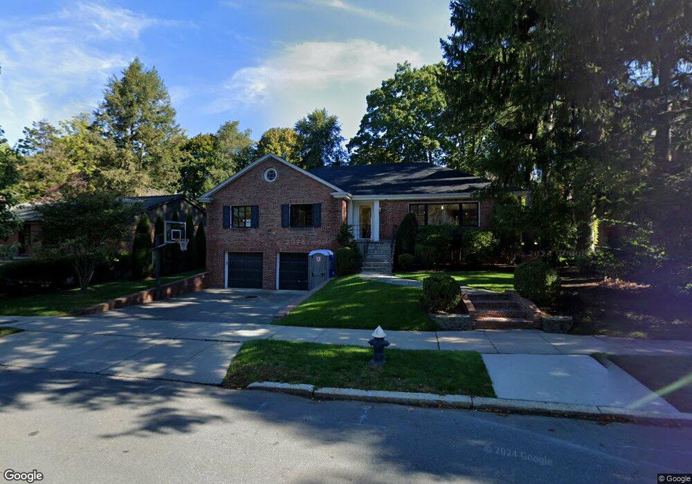
195 Eliot St Chestnut Hill, MA 02467
Chestnut Hill NeighborhoodEstimated Value: $2,126,000 - $2,896,000
4
Beds
3
Baths
2,309
Sq Ft
$1,091/Sq Ft
Est. Value
About This Home
This home is located at 195 Eliot St, Chestnut Hill, MA 02467 and is currently estimated at $2,518,309, approximately $1,090 per square foot. 195 Eliot St is a home located in Norfolk County with nearby schools including Heath Elementary School, Brookline High School, and Brimmer & May School.
Ownership History
Date
Name
Owned For
Owner Type
Purchase Details
Closed on
Dec 20, 2010
Sold by
Mannos Raymond L
Bought by
Kline David M and Kline Amy G
Current Estimated Value
Home Financials for this Owner
Home Financials are based on the most recent Mortgage that was taken out on this home.
Original Mortgage
$417,000
Outstanding Balance
$275,644
Interest Rate
4.23%
Mortgage Type
Purchase Money Mortgage
Estimated Equity
$2,242,665
Create a Home Valuation Report for This Property
The Home Valuation Report is an in-depth analysis detailing your home's value as well as a comparison with similar homes in the area
Home Values in the Area
Average Home Value in this Area
Purchase History
| Date | Buyer | Sale Price | Title Company |
|---|---|---|---|
| Kline David M | $1,050,000 | -- |
Source: Public Records
Mortgage History
| Date | Status | Borrower | Loan Amount |
|---|---|---|---|
| Open | Kline David M | $417,000 |
Source: Public Records
Tax History Compared to Growth
Tax History
| Year | Tax Paid | Tax Assessment Tax Assessment Total Assessment is a certain percentage of the fair market value that is determined by local assessors to be the total taxable value of land and additions on the property. | Land | Improvement |
|---|---|---|---|---|
| 2025 | $23,448 | $2,375,700 | $1,454,300 | $921,400 |
| 2024 | $22,268 | $2,279,200 | $1,398,300 | $880,900 |
| 2023 | $18,373 | $1,842,800 | $999,000 | $843,800 |
| 2022 | $17,883 | $1,755,000 | $951,400 | $803,600 |
| 2021 | $16,538 | $1,687,500 | $914,800 | $772,700 |
| 2020 | $15,043 | $1,591,900 | $831,700 | $760,200 |
| 2019 | $14,129 | $1,507,900 | $792,100 | $715,800 |
| 2018 | $14,865 | $1,571,400 | $798,500 | $772,900 |
| 2017 | $14,646 | $1,482,400 | $753,300 | $729,100 |
| 2016 | $14,436 | $1,385,400 | $704,100 | $681,300 |
| 2015 | $13,828 | $1,294,800 | $658,000 | $636,800 |
| 2014 | $13,753 | $1,207,500 | $598,200 | $609,300 |
Source: Public Records
Map
Nearby Homes
- 59 Ackers Ave Unit 1
- 30 Ackers Ave
- 540 Chestnut Hill Ave
- 641 Chestnut Hill Ave
- 55 Reservoir Rd Unit 2
- 9 Willard Rd
- 2400 Beacon St Unit 112
- 174 Middlesex Rd
- 2 Sutherland Rd Unit 35
- 120 Cabot St
- 6 Sutherland Rd Unit 41
- 44 Orkney Rd Unit 3
- 17 Strathmore Rd Unit 2
- 40 Orkney Rd Unit 1
- 1014 Boylston St
- 8 Strathmore Rd Unit G
- 41 Orkney Rd
- 130 Cabot St
- 1898 Beacon St Unit 4
- 120 Seaver St Unit A103