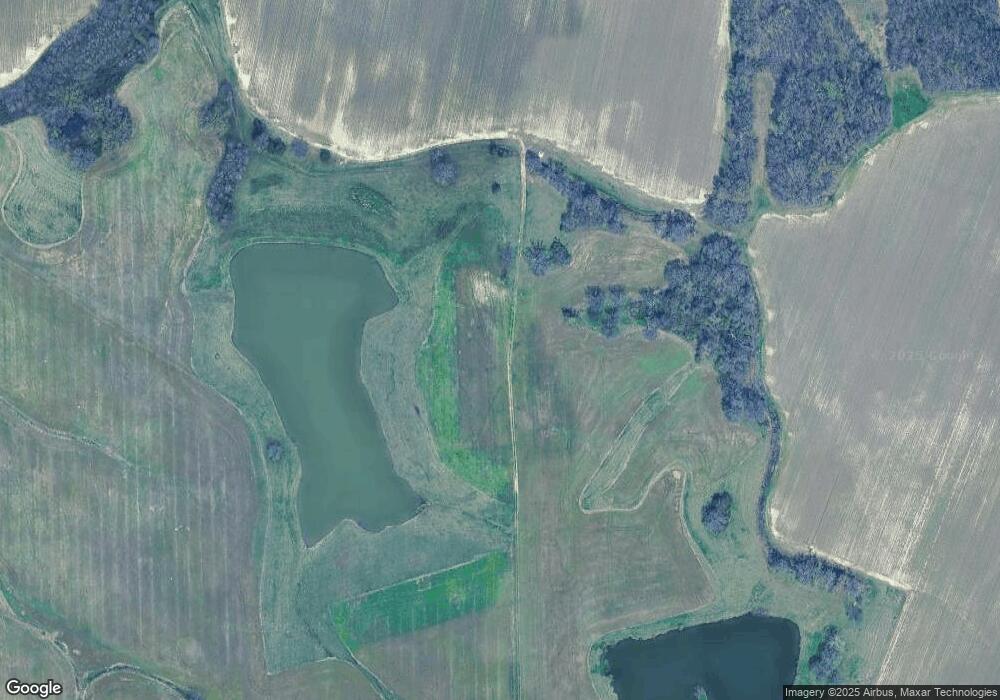
195 Enterprise Way W Arlington, TN 38002
Estimated Value: $263,000 - $2,752,945
--
Bed
4
Baths
7,425
Sq Ft
$236/Sq Ft
Est. Value
About This Home
This home is located at 195 Enterprise Way W, Arlington, TN 38002 and is currently estimated at $1,751,315, approximately $235 per square foot. 195 Enterprise Way W is a home located in Fayette County with nearby schools including Oakland Elementary School, West Junior High School, and Fayette Ware Comprehensive High School.
Ownership History
Date
Name
Owned For
Owner Type
Purchase Details
Closed on
Jan 6, 2014
Sold by
Thomas William H
Bought by
Canepari J F
Current Estimated Value
Purchase Details
Closed on
Nov 14, 2013
Sold by
Tc Partners
Bought by
Thomas William H and Thomas Canepari J
Purchase Details
Closed on
Feb 14, 1994
Bought by
T C Partners
Purchase Details
Closed on
May 14, 1990
Bought by
Dunbar Ii James H
Purchase Details
Closed on
Dec 12, 1989
Purchase Details
Closed on
Jul 6, 1987
Bought by
Dunbar Ii James H and Dunbar Susan P
Purchase Details
Closed on
Dec 17, 1982
Purchase Details
Closed on
Jan 3, 1900
Create a Home Valuation Report for This Property
The Home Valuation Report is an in-depth analysis detailing your home's value as well as a comparison with similar homes in the area
Home Values in the Area
Average Home Value in this Area
Purchase History
| Date | Buyer | Sale Price | Title Company |
|---|---|---|---|
| Canepari J F | $1,155,000 | -- | |
| Thomas William H | $1,154,956 | -- | |
| Thomas William H | -- | -- | |
| T C Partners | $775,000 | -- | |
| Dunbar Ii James H | -- | -- | |
| -- | -- | -- | |
| Dunbar Ii James H | $700,000 | -- | |
| -- | -- | -- | |
| -- | -- | -- |
Source: Public Records
Tax History Compared to Growth
Tax History
| Year | Tax Paid | Tax Assessment Tax Assessment Total Assessment is a certain percentage of the fair market value that is determined by local assessors to be the total taxable value of land and additions on the property. | Land | Improvement |
|---|---|---|---|---|
| 2024 | $3,222 | $249,450 | $187,375 | $62,075 |
| 2023 | $3,222 | $249,450 | $0 | $0 |
| 2022 | $3,222 | $249,450 | $187,375 | $62,075 |
| 2021 | $3,222 | $249,450 | $187,375 | $62,075 |
| 2020 | $3,295 | $249,450 | $187,375 | $62,075 |
| 2019 | $3,295 | $218,575 | $165,300 | $53,275 |
| 2018 | $3,295 | $218,575 | $165,300 | $53,275 |
| 2017 | $3,309 | $219,500 | $165,300 | $54,200 |
| 2016 | $3,499 | $217,925 | $167,050 | $50,875 |
| 2015 | $3,499 | $217,925 | $167,050 | $50,875 |
| 2014 | $3,499 | $217,925 | $167,050 | $50,875 |
Source: Public Records
Map
Nearby Homes
- 21565 Hwy 196 Hwy
- 25 Riversedge Cove N
- 20 Camden Cove
- 235 Amherst Dr
- 1225 Fields Dr
- 25 Lancaster Dr
- 135 Thistle Dr
- 10147 Conner Field Ln
- 10161 Conner Field Ln
- 205 Hanover Dr
- 255 Cedar Grove Dr
- 3245 Harrell Rd
- 2605 Harrell Dr
- HWY 196 Hwy S
- 12778 Hollow Oak Ave
- 12773 Heather Mist Cove
- 12746 Hollow Oak Dr
- 12758 Hollow Oak Dr
- 160 Oak Hill Ln
- 5755 Hollow Oak Dr E
- 21170 Highway 196
- 21130 Highway 196
- 21185 Highway 196
- 15 Grimes Dr
- 21365 Hickory Withe Rd
- 25 Grimes Dr
- 20900 Tennessee 196
- 20900 Highway 196 Hwy
- 145 Grimes Dr
- 170 Grimes Dr
- 195 Grimes Dr
- 21580 Highway 196
- 21485 Highway 196
- 21455 Highway 196
- 270 Grimes Dr
- 21586 Highway 196
- 21588 Highway 196
- 305 Grimes Dr
- 340 Grimes Dr
- 285 Julie Cove
