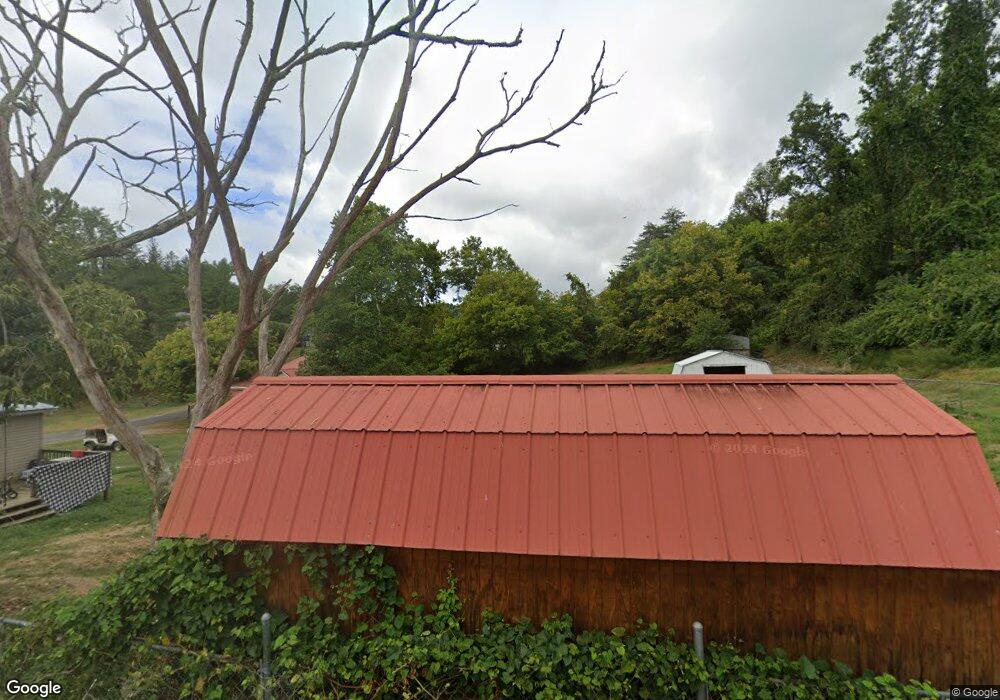
195 Fairview Cir Sutton, WV 26601
Estimated Value: $53,134 - $90,000
2
Beds
1
Bath
804
Sq Ft
$87/Sq Ft
Est. Value
About This Home
This home is located at 195 Fairview Cir, Sutton, WV 26601 and is currently estimated at $70,034, approximately $87 per square foot. 195 Fairview Cir is a home with nearby schools including Braxton County High School.
Ownership History
Date
Name
Owned For
Owner Type
Purchase Details
Closed on
Apr 30, 2018
Sold by
Moore Donna A
Bought by
Shuman Victoria D
Current Estimated Value
Home Financials for this Owner
Home Financials are based on the most recent Mortgage that was taken out on this home.
Original Mortgage
$31,900
Outstanding Balance
$27,374
Interest Rate
4.44%
Mortgage Type
New Conventional
Estimated Equity
$42,660
Purchase Details
Closed on
Dec 4, 2009
Sold by
Townsend Linda Kaye and Jack Linda Kaye
Bought by
Gross Ellen M
Create a Home Valuation Report for This Property
The Home Valuation Report is an in-depth analysis detailing your home's value as well as a comparison with similar homes in the area
Purchase History
| Date | Buyer | Sale Price | Title Company |
|---|---|---|---|
| Shuman Victoria D | $39,000 | -- | |
| Gross Ellen M | $15,000 | -- |
Source: Public Records
Mortgage History
| Date | Status | Borrower | Loan Amount |
|---|---|---|---|
| Open | Shuman Victoria D | $31,900 |
Source: Public Records
Tax History
| Year | Tax Paid | Tax Assessment Tax Assessment Total Assessment is a certain percentage of the fair market value that is determined by local assessors to be the total taxable value of land and additions on the property. | Land | Improvement |
|---|---|---|---|---|
| 2025 | $185 | $18,180 | $2,700 | $15,480 |
| 2024 | $185 | $16,620 | $2,700 | $13,920 |
| 2023 | $333 | $16,320 | $2,700 | $13,620 |
| 2022 | $332 | $16,140 | $2,700 | $13,440 |
| 2021 | $308 | $14,940 | $2,700 | $12,240 |
| 2020 | $299 | $14,520 | $2,700 | $11,820 |
| 2019 | $289 | $13,920 | $2,700 | $11,220 |
| 2018 | $281 | $13,500 | $2,700 | $10,800 |
| 2017 | $275 | $13,140 | $2,700 | $10,440 |
| 2016 | $274 | $13,140 | $2,700 | $10,440 |
| 2015 | $278 | $13,500 | $2,700 | $10,800 |
| 2014 | $137 | $12,540 | $2,700 | $9,840 |
Source: Public Records
Map
Nearby Homes
- 196 Fairview St
- 210 Main St
- 30 Camden Ave
- 304 River View Dr
- 280 S Charles St
- TBD Buckeye Creek Rd
- 56 Deal St
- 3091 State St
- 3089 State St
- 3004 State St
- TBD Quinnwood Ln
- TBD 1 Quinnwood Ln
- 106 Lee St
- 130 Otter Ln
- 204 Linden St
- 709 Braxton St
- 505 Kanawha St
- 626 Elk St
- 3801 Old Turnpike Rd
- 754 Days Dr Unit 6
- 193 Fairview Ave
- 197 Fairview Cir
- 198 Fairview Cir
- 201 Fairview Cir
- 195 N Baxter St
- 199 N Baxter St
- 189 N Baxter St
- 271 N Baxter St
- 194 N Baxter St
- 194 N Baxter St
- 279 N Baxter St
- 281 N Baxter St
- 184 N Baxter St
- 182 N Baxter St
- 49 Lloyd Ln
- 113 N Baxter St
- 281 Facemire Dr
- 100 Pinehurst Ave
- 283 N Baxter St
- 102 Pinehurst Ave
Your Personal Tour Guide
Ask me questions while you tour the home.