Estimated Value: $540,000 - $561,000
--
Bed
4
Baths
3,899
Sq Ft
$141/Sq Ft
Est. Value
About This Home
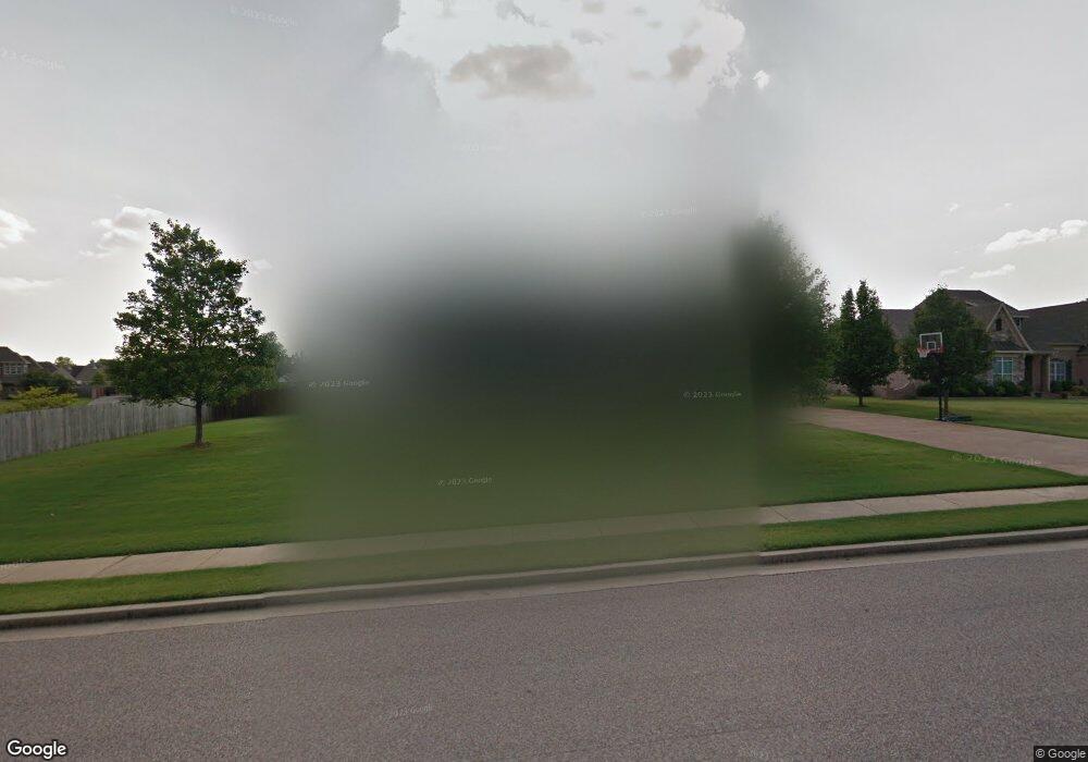
This home is located at 195 Johnsborough Dr, Atoka, TN 38004 and is currently estimated at $550,170, approximately $141 per square foot. 195 Johnsborough Dr is a home located in Tipton County with nearby schools including Atoka Elementary School, Munford Middle School, and Munford High School.
Ownership History
Date
Name
Owned For
Owner Type
Purchase Details
Closed on
Aug 20, 2024
Sold by
Simmons Paul and Simmons Debra Kay
Bought by
Timmerman Joseph and Timmerman Marie
Current Estimated Value
Home Financials for this Owner
Home Financials are based on the most recent Mortgage that was taken out on this home.
Original Mortgage
$405,000
Outstanding Balance
$400,435
Interest Rate
6.89%
Mortgage Type
New Conventional
Estimated Equity
$149,735
Purchase Details
Closed on
Jun 29, 2018
Sold by
Simmons Paul
Bought by
Simmons Paul and Simmons Debra Kay
Purchase Details
Closed on
Mar 30, 2018
Sold by
Joyner Christopher Michael
Bought by
Simmons Paul
Home Financials for this Owner
Home Financials are based on the most recent Mortgage that was taken out on this home.
Original Mortgage
$327,750
Interest Rate
4.43%
Mortgage Type
New Conventional
Purchase Details
Closed on
Aug 9, 2001
Sold by
Munford Development Co
Bought by
Michael Joyner Christopher
Create a Home Valuation Report for This Property
The Home Valuation Report is an in-depth analysis detailing your home's value as well as a comparison with similar homes in the area
Home Values in the Area
Average Home Value in this Area
Purchase History
| Date | Buyer | Sale Price | Title Company |
|---|---|---|---|
| Timmerman Joseph | $540,000 | Edco Title | |
| Simmons Paul | -- | -- | |
| Simmons Paul | $345,000 | -- | |
| Michael Joyner Christopher | $25,000 | -- |
Source: Public Records
Mortgage History
| Date | Status | Borrower | Loan Amount |
|---|---|---|---|
| Open | Timmerman Joseph | $405,000 | |
| Previous Owner | Simmons Paul | $327,750 |
Source: Public Records
Tax History Compared to Growth
Tax History
| Year | Tax Paid | Tax Assessment Tax Assessment Total Assessment is a certain percentage of the fair market value that is determined by local assessors to be the total taxable value of land and additions on the property. | Land | Improvement |
|---|---|---|---|---|
| 2024 | $2,954 | $130,950 | $10,125 | $120,825 |
| 2023 | $2,954 | $130,950 | $10,125 | $120,825 |
| 2022 | $2,837 | $92,400 | $7,450 | $84,950 |
| 2021 | $2,790 | $92,400 | $7,450 | $84,950 |
| 2020 | $2,788 | $92,400 | $7,450 | $84,950 |
| 2019 | $2,937 | $81,800 | $7,450 | $74,350 |
| 2018 | $2,937 | $81,800 | $7,450 | $74,350 |
| 2017 | $2,634 | $81,800 | $7,450 | $74,350 |
| 2016 | $2,634 | $81,800 | $7,450 | $74,350 |
| 2015 | $2,631 | $81,800 | $7,450 | $74,350 |
| 2014 | $2,431 | $81,786 | $0 | $0 |
Source: Public Records
Map
Nearby Homes
- 114 Walker Lake Rd
- 128 Loch Haven Cove S
- 104 Lochmeade Dr
- 376 Stroud Cir
- 420 Trebing Pkwy
- 00 Atoka Idaville Rd
- 0 Smith Dr Unit 10202728
- 371 Beverly Dr
- 102 Stroud Cir
- 93 Sterling Farm Dr
- 538 Rosemark Rd
- 189 Cotton Fall Dr
- 107 Farmer Trail
- 156 Farmer Trail
- 343 Brittany Ln
- 78 Doe Trail
- 46 Walker Pkwy
- 33 Ward Ln
- 29 Merino Dr
- 0 Atoka McLaughlin Dr
- 52 Marianna St
- 223 Johnsborough Dr
- 72 Marianna St
- 90 Marianna St
- 238 Johnsborough Dr
- 178 Johnsborough Dr
- 243 Johnsborough Dr
- 198 Johnsborough Dr
- 170 Johnsborough Dr
- 24 Marianna St
- 53 Marianna St
- 220 Johnsborough Dr
- 92 Jessie Cove
- 150 Johnsborough Dr
- 267 Johnsborough Dr
- 71 Marianna St
- 105 Johnsborough Dr
- 133 Loch Haven Cove S
- 262 Johnsborough Dr
- 64 Jessie Cove