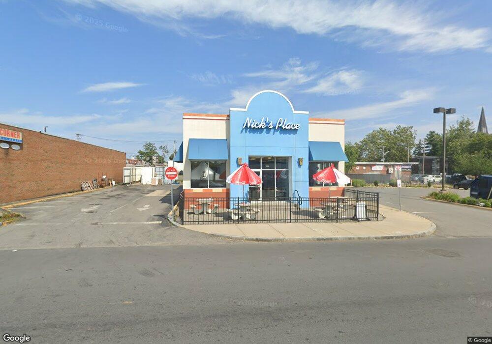
195 Lowell St Lawrence, MA 01840
Downtown Lawrence Neighborhood
--
Bed
2
Baths
2,358
Sq Ft
0.48
Acres
About This Home
This home is located at 195 Lowell St, Lawrence, MA 01840. 195 Lowell St is a home located in Essex County with nearby schools including Olive Branch Elementary School, School For Exceptional Studies, and John K Tarbox Elementary School.
Ownership History
Date
Name
Owned For
Owner Type
Purchase Details
Closed on
May 8, 2014
Sold by
Everett Coop Bank
Bought by
195 Lowell Street Llc
Purchase Details
Closed on
Oct 26, 2011
Sold by
Lous Custom Exhaust In
Bought by
Four Generations Llc
Home Financials for this Owner
Home Financials are based on the most recent Mortgage that was taken out on this home.
Original Mortgage
$1,004,586
Interest Rate
4.11%
Mortgage Type
Commercial
Purchase Details
Closed on
Oct 18, 2000
Sold by
Lavallee Stephen J
Bought by
Barbarossa John B and Burtt Richard P
Create a Home Valuation Report for This Property
The Home Valuation Report is an in-depth analysis detailing your home's value as well as a comparison with similar homes in the area
Home Values in the Area
Average Home Value in this Area
Purchase History
| Date | Buyer | Sale Price | Title Company |
|---|---|---|---|
| 195 Lowell Street Llc | $925,000 | -- | |
| Four Generations Llc | $400,000 | -- | |
| Barbarossa John B | $215,000 | -- |
Source: Public Records
Mortgage History
| Date | Status | Borrower | Loan Amount |
|---|---|---|---|
| Previous Owner | Four Generations Llc | $1,004,586 | |
| Previous Owner | Barbarossa John B | $703,211 |
Source: Public Records
Tax History Compared to Growth
Tax History
| Year | Tax Paid | Tax Assessment Tax Assessment Total Assessment is a certain percentage of the fair market value that is determined by local assessors to be the total taxable value of land and additions on the property. | Land | Improvement |
|---|---|---|---|---|
| 2025 | $19,596 | $1,064,400 | $271,300 | $793,100 |
| 2024 | $20,683 | $1,067,800 | $232,100 | $835,700 |
| 2023 | $19,886 | $940,700 | $194,000 | $746,700 |
| 2022 | $20,186 | $833,800 | $175,500 | $658,300 |
| 2021 | $20,592 | $780,300 | $155,800 | $624,500 |
| 2020 | $20,397 | $761,100 | $152,700 | $608,400 |
| 2019 | $20,023 | $688,800 | $149,100 | $539,700 |
| 2018 | $20,588 | $668,000 | $128,300 | $539,700 |
| 2017 | $19,664 | $585,400 | $112,400 | $473,000 |
| 2016 | $19,572 | $579,900 | $106,900 | $473,000 |
| 2015 | $19,338 | $596,300 | $106,900 | $489,400 |
Source: Public Records
Map
Nearby Homes
- 202 Broadway Unit 2-3
- 202 Broadway Unit 3-3
- 42 Morton St
- 46 Amesbury St Unit 2B
- 46 Amesbury St Unit 4D
- 324-326 Broadway
- 11 Lawrence St Unit 606
- 139 West St
- 2 Washington St
- 82 Water St
- 499 Haverhill St
- 44-46 Butler St
- 32 Alma St Unit 32
- 50 Forest St
- 131A Lawrence St Unit 40
- 62-66 Butler St
- 70 Butler St
- 179-181 West St
- 24 Bennington St
- 29 Willow St Unit B
- 88 Franklin St
- 100 Franklin St
- 52 Franklin St
- 125 Lowell St Unit 3
- 123 Lowell St Unit 3
- 118 Franklin St
- 65 Franklin St Unit 2A
- 86-88 Bradford St
- 205 Broadway Unit 1
- 205 Broadway
- 229 Broadway
- 168 Broadway Unit 172
- 82 Bradford St
- 82 Bradford St Unit 2
- 221 Broadway
- 98 Bradford St
- 186 Broadway
- 48-50 Franklin St
- 48 Franklin St Unit n/a
- 48 Franklin St