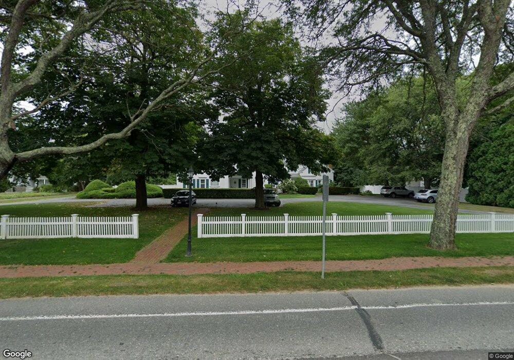
195 Main St Unit 2 Orleans, MA 02653
Estimated Value: $321,000 - $744,000
2
Beds
2
Baths
1,001
Sq Ft
$547/Sq Ft
Est. Value
About This Home
This home is located at 195 Main St Unit 2, Orleans, MA 02653 and is currently estimated at $547,796, approximately $547 per square foot. 195 Main St Unit 2 is a home located in Barnstable County with nearby schools including Orleans Elementary School, Nauset Regional Middle School, and Nauset Regional High School.
Ownership History
Date
Name
Owned For
Owner Type
Purchase Details
Closed on
Dec 14, 1998
Sold by
Neher Patricia S and Neher George M
Bought by
Clark Laurel J
Current Estimated Value
Home Financials for this Owner
Home Financials are based on the most recent Mortgage that was taken out on this home.
Original Mortgage
$80,000
Interest Rate
6.89%
Purchase Details
Closed on
Jan 20, 1994
Sold by
Dbt Corp
Bought by
Neher Patricia S and Neher George W
Home Financials for this Owner
Home Financials are based on the most recent Mortgage that was taken out on this home.
Original Mortgage
$101,600
Interest Rate
7.08%
Mortgage Type
Purchase Money Mortgage
Purchase Details
Closed on
Nov 22, 1993
Sold by
Kelleher Linda W
Bought by
Dbt Corp
Home Financials for this Owner
Home Financials are based on the most recent Mortgage that was taken out on this home.
Original Mortgage
$101,600
Interest Rate
7.08%
Mortgage Type
Purchase Money Mortgage
Create a Home Valuation Report for This Property
The Home Valuation Report is an in-depth analysis detailing your home's value as well as a comparison with similar homes in the area
Home Values in the Area
Average Home Value in this Area
Purchase History
| Date | Buyer | Sale Price | Title Company |
|---|---|---|---|
| Clark Laurel J | $174,000 | -- | |
| Neher Patricia S | $127,000 | -- | |
| Dbt Corp | $75,100 | -- |
Source: Public Records
Mortgage History
| Date | Status | Borrower | Loan Amount |
|---|---|---|---|
| Open | Dbt Corp | $76,000 | |
| Closed | Dbt Corp | $80,000 | |
| Closed | Dbt Corp | $112,000 | |
| Previous Owner | Dbt Corp | $101,600 |
Source: Public Records
Tax History Compared to Growth
Tax History
| Year | Tax Paid | Tax Assessment Tax Assessment Total Assessment is a certain percentage of the fair market value that is determined by local assessors to be the total taxable value of land and additions on the property. | Land | Improvement |
|---|---|---|---|---|
| 2025 | $3,393 | $543,700 | $0 | $543,700 |
| 2024 | $3,226 | $503,300 | $0 | $503,300 |
| 2023 | $2,904 | $466,100 | $0 | $466,100 |
| 2022 | $2,920 | $405,500 | $0 | $405,500 |
| 2021 | $3,028 | $386,200 | $0 | $386,200 |
| 2020 | $2,872 | $379,900 | $0 | $379,900 |
| 2019 | $2,776 | $375,200 | $0 | $375,200 |
| 2018 | $2,490 | $375,600 | $0 | $375,600 |
| 2017 | $2,252 | $355,700 | $0 | $355,700 |
| 2016 | $2,253 | $348,700 | $0 | $348,700 |
| 2015 | $2,206 | $343,600 | $0 | $343,600 |
Source: Public Records
Map
Nearby Homes
- 216 Main St
- 18 Cole Place
- 19 Nauset Farms Private Way
- 53 Great Oak Rd
- 66 Tides End Ln
- 31 Monument Rd
- 6 Apple Way
- 7 Brick Hill Rd
- 75 Monument Rd
- 44 Tonset Rd
- 22 Tonset Rd
- 25 Pleasant View Dr
- 10 Lake Farm Ln
- 2 Little Cove Ln
- 110 Beach Rd
- 95 S Orleans Rd
- 34 Cedar Land Rd
- 15 Dale Ann Dr
- 11 Fox Ridge Dr
- 13 S Orleans Rd Unit 28
- 195 Main St Unit 6
- 195 Main St Unit 5
- 195 Main St Unit 4
- 195 Main St Unit 3
- 195 Main St Unit 1
- 195 Main St
- 193 Main St
- 197-A Main St
- 199 Main St
- 194 Main St
- 200 Main St
- 11 Manito Rd
- 4 Cheney Rd
- 197A Main St
- 189 Main St
- 189 Main St Unit 1
- 189 Main St Unit 2
- 189 Main St Unit B
- 189 Main St Unit A
- 11 Manito Rd