195 Mattison Dr Concord, MA 01742
Estimated Value: $2,395,972 - $2,746,000
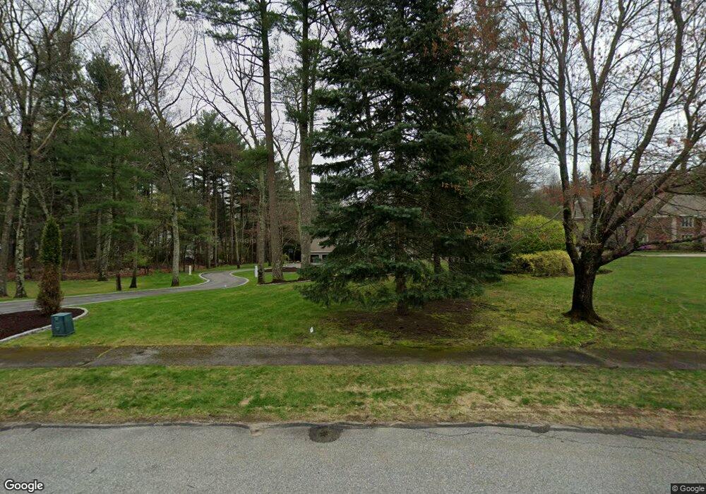
About This Home
This home is located at 195 Mattison Dr, Concord, MA 01742 and is currently estimated at $2,591,493, approximately $470 per square foot. 195 Mattison Dr is a home located in Middlesex County with nearby schools including Willard School, Concord Middle School, and Concord Carlisle High School.
Ownership History
We collect this data history from publicly available records. To have your information removed, we recommend requesting removal directly through your county’s website.
Purchase Details
Purchase Details
Purchase Details
Purchase Details
Purchase Details
Home Values in the Area
Average Home Value in this Area
Purchase History
We collect this data history from publicly available records. To have your information removed, we recommend requesting removal directly through your county’s website.
| Date | Buyer | Sale Price | Title Company |
|---|---|---|---|
| -- | -- | ||
| $1,450,000 | -- | ||
| $1,558,000 | -- | ||
| $935,000 | -- | ||
| $675,000 | -- |
Mortgage History
We collect this data history from publicly available records. To have your information removed, we recommend requesting removal directly through your county’s website.
| Date | Status | Borrower | Loan Amount |
|---|---|---|---|
| Previous Owner | $645,000 | ||
| Previous Owner | $1,000,000 |
Tax History
We collect this data history from publicly available records. To have your information removed, we recommend requesting removal directly through your county’s website.
| Year | Tax Paid | Tax Assessment Tax Assessment Total Assessment is a certain percentage of the fair market value that is determined by local assessors to be the total taxable value of land and additions on the property. | Land | Improvement |
|---|---|---|---|---|
| 2025 | $303 | $2,283,400 | $581,400 | $1,702,000 |
| 2024 | $29,733 | $2,264,500 | $581,400 | $1,683,100 |
| 2023 | $24,115 | $1,860,700 | $528,700 | $1,332,000 |
| 2022 | $22,871 | $1,549,500 | $377,600 | $1,171,900 |
| 2021 | $22,870 | $1,553,700 | $412,000 | $1,141,700 |
| 2020 | $22,880 | $1,607,900 | $412,000 | $1,195,900 |
| 2019 | $21,552 | $1,518,800 | $383,100 | $1,135,700 |
| 2018 | $21,379 | $1,496,100 | $375,500 | $1,120,600 |
| 2017 | $20,271 | $1,440,700 | $357,800 | $1,082,900 |
| 2016 | $20,685 | $1,486,000 | $398,100 | $1,087,900 |
| 2015 | $19,660 | $1,375,800 | $368,800 | $1,007,000 |
Map
- 56 Seymour St
- 18 B Powder Mill Rd
- 875 Old Road to 9 Acre Corner
- 135 Williams Rd
- 18B - 20 Powder Mill Rd
- 20 Powder Mill Rd
- 32 Fern St
- 497 Old Road to 9 Acre Corner
- 38 Blueberry Ln
- 1465 Sudbury Rd
- 136 Holden Wood Rd
- 114 Orchard Dr Unit 114
- 107 White Pond Way Unit 107
- 85 The Valley Rd
- 20 Northwood Dr Unit 303
- 127 Cold Brook Dr Unit 2
- 449 Old Marlboro Rd
- 150 North Rd Unit 10
- 19 Skyview Ln
- 230 Harrington Ave
- 203 Mattison Dr
- 205 Mattison Dr
- 66 Alford Cir
- 70 Alford Cir
- 200 Mattison Dr
- 26 Alford Cir
- 91 Peter Bulkeley Rd
- 80 Alford Cir
- 98 Peter Bulkeley Rd
- 31 Alford Cir
- 42 Paul Revere Rd
- 240 Mattison Dr
- 156 Mattison Dr
- 27 Ayrshire Ln
- 27 Alford Cir
- 14B Mattison Dr
- 28 Paul Revere Rd
- 63 Peter Bulkeley Rd
- 241 Mattison Dr
- 82 Paul Revere Rd
Ask me questions while you tour the home.