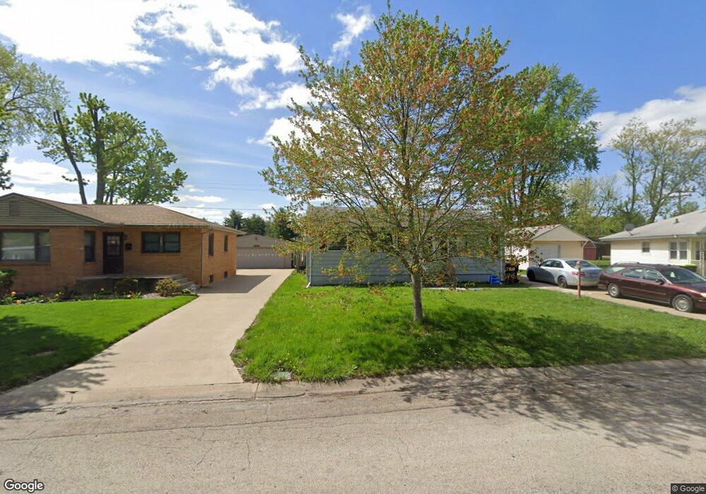
195 Mayfair Dr Lincoln, IL 62656
Estimated Value: $153,752 - $184,000
--
Bed
--
Bath
983
Sq Ft
$175/Sq Ft
Est. Value
About This Home
This home is located at 195 Mayfair Dr, Lincoln, IL 62656 and is currently estimated at $171,938, approximately $174 per square foot. 195 Mayfair Dr is a home located in Logan County with nearby schools including Washington-Monroe Elementary School, Adams Elementary School, and Lincoln Junior High School.
Ownership History
Date
Name
Owned For
Owner Type
Purchase Details
Closed on
Jun 14, 2021
Sold by
Hofer Connie J
Bought by
Hofer Nathaniel
Current Estimated Value
Purchase Details
Closed on
Jul 31, 2012
Sold by
Rupp Lois M and Hofer Connie J
Bought by
Hofer Connie J
Create a Home Valuation Report for This Property
The Home Valuation Report is an in-depth analysis detailing your home's value as well as a comparison with similar homes in the area
Home Values in the Area
Average Home Value in this Area
Purchase History
| Date | Buyer | Sale Price | Title Company |
|---|---|---|---|
| Hofer Nathaniel | -- | None Available | |
| Hofer Connie J | -- | -- |
Source: Public Records
Tax History Compared to Growth
Tax History
| Year | Tax Paid | Tax Assessment Tax Assessment Total Assessment is a certain percentage of the fair market value that is determined by local assessors to be the total taxable value of land and additions on the property. | Land | Improvement |
|---|---|---|---|---|
| 2024 | $3,606 | $45,330 | $7,500 | $37,830 |
| 2023 | $3,453 | $41,970 | $6,940 | $35,030 |
| 2022 | $3,279 | $39,230 | $6,490 | $32,740 |
| 2021 | $3,135 | $37,660 | $6,230 | $31,430 |
| 2020 | $3,086 | $37,110 | $6,140 | $30,970 |
| 2019 | $3,009 | $36,380 | $6,020 | $30,360 |
| 2018 | $2,974 | $35,660 | $5,900 | $29,760 |
| 2017 | $2,956 | $35,660 | $5,900 | $29,760 |
| 2016 | $2,879 | $35,620 | $5,890 | $29,730 |
| 2015 | $2,245 | $33,310 | $5,710 | $27,600 |
| 2014 | $2,245 | $33,310 | $5,710 | $27,600 |
| 2013 | $2,245 | $31,620 | $5,420 | $26,200 |
| 2012 | $2,245 | $32,190 | $5,520 | $26,670 |
Source: Public Records
Map
Nearby Homes
- 180 Regent St
- 145 Half Moon St
- 1503 N Kankakee St
- 102 Crestwood Dr
- 103 Crestwood Dr
- 1019 N Mclean St
- 1208 N Kankakee St
- 1431 N Ottawa St
- 1204 N Ottawa St
- 1107 N Kankakee St
- 311 Davenport St
- 1354 Airport Rd
- 2294 Railsplitter Ave
- 915 Peoria St
- 2354 Railsplitter Ave
- 6 Meadow Ln
- 620 Tremont St
- 1624 Delavan St
- 330 Water St
- 1225 Delavan St
- 205 Mayfair Dr
- 185 Mayfair Dr
- 215 Mayfair Dr
- 175 Mayfair Dr
- 180 Mayfair Dr
- 200 Mayfair Dr
- 140 Mayfair Dr
- 225 Mayfair Dr
- 210 Mayfair Dr
- 125 Mayfair Dr
- 220 Mayfair Dr
- 235 Mayfair Dr
- 135 Southgate St
- 155 Mayfair Dr
- 115 Mayfair Dr
- 125 Southgate St
- 230 Mayfair Dr
- 245 Mayfair Dr
- 145 Mayfair Dr
- 135 Mayfair Dr