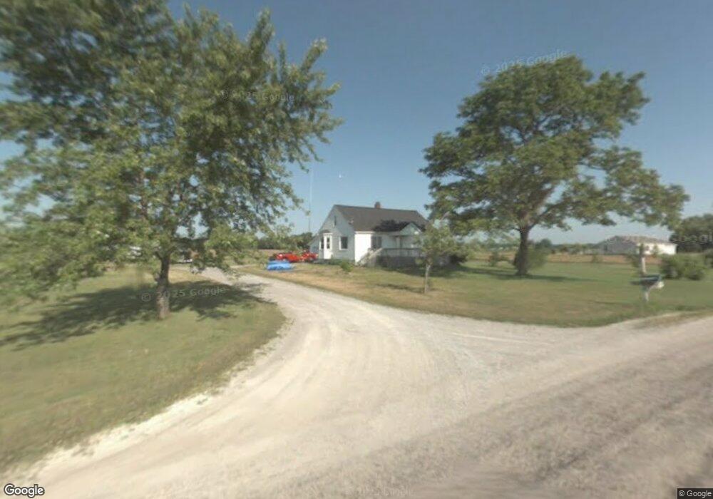
195 N 8 Mile Rd Linwood, MI 48634
Estimated Value: $129,000 - $187,000
4
Beds
1
Bath
1,400
Sq Ft
$119/Sq Ft
Est. Value
About This Home
This home is located at 195 N 8 Mile Rd, Linwood, MI 48634 and is currently estimated at $166,904, approximately $119 per square foot. 195 N 8 Mile Rd is a home located in Bay County with nearby schools including Linwood Elementary School, Pinconning Central Elementary School, and Pinconning Middle School.
Ownership History
Date
Name
Owned For
Owner Type
Purchase Details
Closed on
Sep 22, 2011
Sold by
Wesolowski Brandon
Bought by
Vennix Evan M
Current Estimated Value
Home Financials for this Owner
Home Financials are based on the most recent Mortgage that was taken out on this home.
Original Mortgage
$79,921
Outstanding Balance
$54,415
Interest Rate
4.14%
Mortgage Type
FHA
Estimated Equity
$112,489
Purchase Details
Closed on
Jul 18, 2002
Sold by
Wojda Delores
Bought by
Wesolowski Brandon
Create a Home Valuation Report for This Property
The Home Valuation Report is an in-depth analysis detailing your home's value as well as a comparison with similar homes in the area
Home Values in the Area
Average Home Value in this Area
Purchase History
| Date | Buyer | Sale Price | Title Company |
|---|---|---|---|
| Vennix Evan M | $82,000 | First American Title Ins Co | |
| Wesolowski Brandon | $96,000 | -- |
Source: Public Records
Mortgage History
| Date | Status | Borrower | Loan Amount |
|---|---|---|---|
| Open | Vennix Evan M | $79,921 |
Source: Public Records
Tax History Compared to Growth
Tax History
| Year | Tax Paid | Tax Assessment Tax Assessment Total Assessment is a certain percentage of the fair market value that is determined by local assessors to be the total taxable value of land and additions on the property. | Land | Improvement |
|---|---|---|---|---|
| 2025 | $1,734 | $58,350 | $0 | $0 |
| 2024 | $1,635 | $53,050 | $0 | $0 |
| 2023 | $458 | $43,400 | $0 | $0 |
| 2022 | $1,493 | $42,500 | $0 | $0 |
| 2021 | $1,336 | $43,050 | $13,400 | $29,650 |
| 2020 | $1,299 | $41,550 | $13,400 | $28,150 |
| 2019 | $1,240 | $40,450 | $0 | $0 |
| 2018 | $1,186 | $36,850 | $0 | $0 |
| 2017 | $1,154 | $36,000 | $0 | $0 |
| 2016 | $1,156 | $35,200 | $6,700 | $28,500 |
| 2015 | -- | $32,700 | $6,700 | $26,000 |
| 2014 | -- | $32,500 | $10,900 | $21,600 |
Source: Public Records
Map
Nearby Homes
- 2218 S Nine Mile Rd
- 1255 S Nine Mile Rd
- 300 S Heritier Rd
- 0 E Prevo Rd
- 1560 N 8 Mile Rd
- 1428 S 8 Mile Rd
- 4949 S Garfield Rd
- 1992 N 7 Mile Rd
- 1404 E Parish Rd
- 0 S 11 Mile Rd
- 2192 S Garfield Rd
- 50 Schmidt Rd
- 1826 8 Mile Rd
- 407 W Clara St
- 0 N Huron Rd Unit 20250021856
- 1825 E North Boutell Rd
- 0 E River Rd
- 1134 N Kaiser Tower Rd
- 1735 Fraser Rd
- 0 S Huron Rd
- 166 N 8 Mile Rd
- 223 N 8 Mile Rd
- 156 N 8 Mile Rd
- 250 N 8 Mile Rd
- 251 N 8 Mile Rd
- 139 N 8 Mile Rd
- 139 N 8 Mile Rd
- 265 N 8 Mile Rd
- 264 N 8 Mile Rd
- 287 N 8 Mile Rd
- 99 N 8 Mile Rd
- 307 N 8 Mile Rd
- 65 N 8 Mile Rd
- 55 N 8 Mile Rd
- 45 N 8 Mile Rd
- 25 N 8 Mile Rd
- 28 W Linwood Rd
- 38 W Linwood Rd
- 38 W Linwood Rd
- 10 W Linwood Rd