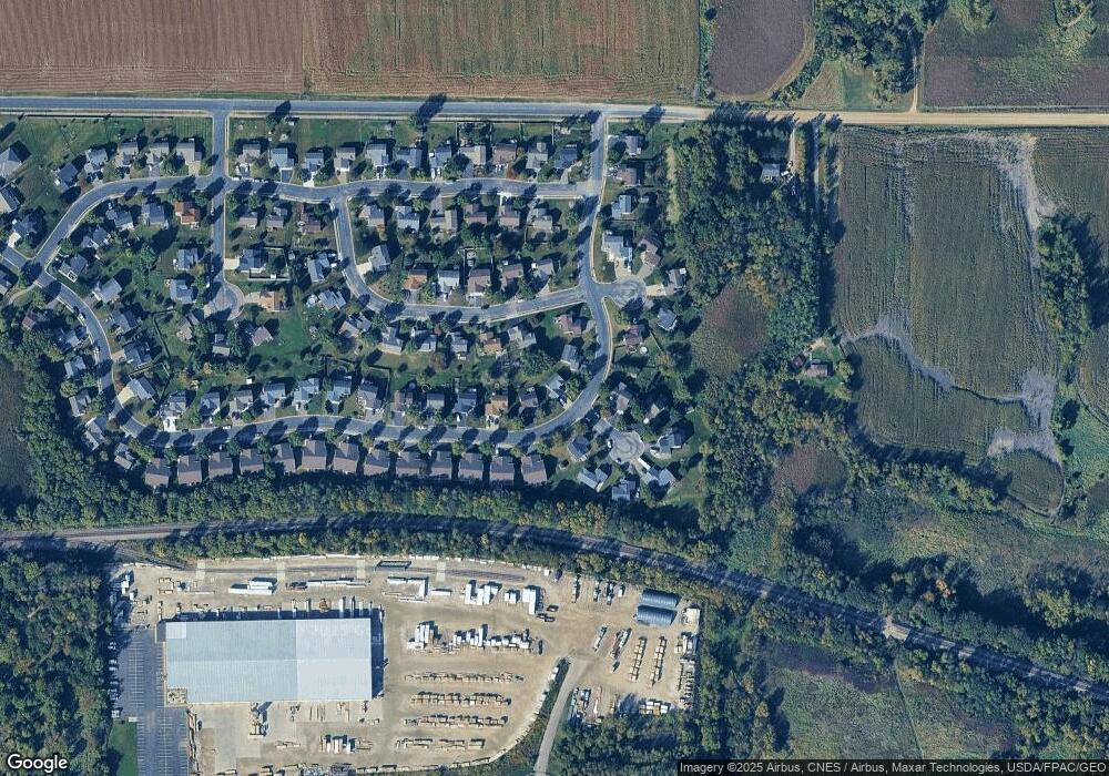
195 Pheasant Ridge Dr Montrose, MN 55363
Estimated Value: $285,746 - $314,000
3
Beds
2
Baths
1,993
Sq Ft
$151/Sq Ft
Est. Value
About This Home
This home is located at 195 Pheasant Ridge Dr, Montrose, MN 55363 and is currently estimated at $300,687, approximately $150 per square foot. 195 Pheasant Ridge Dr is a home located in Wright County with nearby schools including Montrose Elementary School, Buffalo Community Middle School, and Buffalo Senior High School.
Ownership History
Date
Name
Owned For
Owner Type
Purchase Details
Closed on
Aug 27, 2015
Sold by
Otto Craig Craig
Bought by
Marzean Jesse Jesse
Current Estimated Value
Home Financials for this Owner
Home Financials are based on the most recent Mortgage that was taken out on this home.
Original Mortgage
$142,700
Outstanding Balance
$111,813
Interest Rate
3.84%
Estimated Equity
$188,874
Purchase Details
Closed on
Oct 24, 2007
Sold by
Jones Richard C and Jones Denise A
Bought by
Otto Craig
Purchase Details
Closed on
Oct 8, 2002
Sold by
Eighty Seven Llc
Bought by
Shade Tree Construction Inc
Purchase Details
Closed on
Nov 28, 2001
Sold by
Shade Tree Construction Inc
Bought by
Jones Richard C and Jones Denise A
Purchase Details
Closed on
Aug 17, 2001
Sold by
Trison Development Inc
Bought by
Shade Tree Construction Inc
Create a Home Valuation Report for This Property
The Home Valuation Report is an in-depth analysis detailing your home's value as well as a comparison with similar homes in the area
Home Values in the Area
Average Home Value in this Area
Purchase History
| Date | Buyer | Sale Price | Title Company |
|---|---|---|---|
| Marzean Jesse Jesse | $163,500 | -- | |
| Otto Craig | $184,000 | -- | |
| Shade Tree Construction Inc | $20,000 | -- | |
| Jones Richard C | $143,890 | -- | |
| Shade Tree Construction Inc | $120,000 | -- |
Source: Public Records
Mortgage History
| Date | Status | Borrower | Loan Amount |
|---|---|---|---|
| Open | Marzean Jesse Jesse | $142,700 |
Source: Public Records
Tax History
| Year | Tax Paid | Tax Assessment Tax Assessment Total Assessment is a certain percentage of the fair market value that is determined by local assessors to be the total taxable value of land and additions on the property. | Land | Improvement |
|---|---|---|---|---|
| 2025 | $3,318 | $280,800 | $65,000 | $215,800 |
| 2024 | $3,294 | $272,800 | $65,000 | $207,800 |
| 2023 | $3,266 | $294,000 | $81,000 | $213,000 |
| 2022 | $3,026 | $269,100 | $72,000 | $197,100 |
| 2021 | $2,920 | $217,400 | $40,000 | $177,400 |
| 2020 | $2,890 | $205,800 | $35,000 | $170,800 |
| 2019 | $2,522 | $200,300 | $0 | $0 |
| 2018 | $2,216 | $162,400 | $0 | $0 |
| 2017 | $2,020 | $143,000 | $0 | $0 |
| 2016 | $1,920 | $0 | $0 | $0 |
| 2015 | $2,182 | $0 | $0 | $0 |
| 2014 | -- | $0 | $0 | $0 |
Source: Public Records
Map
Nearby Homes
- 193 Pheasant Ridge Dr
- 197 Pheasant Ridge Dr
- 214 Ringneck Dr
- 189 Pheasant Ridge Dr
- 199 Pheasant Ridge Dr
- 150 Grouse Cir
- 212 Ringneck Dr
- 194 Pheasant Ridge Dr
- 183 Pheasant Ridge Dr
- 192 Pheasant Ridge Dr
- 252 Ringneck Cir
- 190 Pheasant Ridge Dr
- 210 Ringneck Dr
- 188 Pheasant Ridge Dr
- 186 Pheasant Ridge Dr
- 153 Grouse Cir
- 211 Ringneck Dr
- 209 Ringneck Dr
- 179 Pheasant Ridge Dr
- 207 Ringneck Dr
Your Personal Tour Guide
Ask me questions while you tour the home.