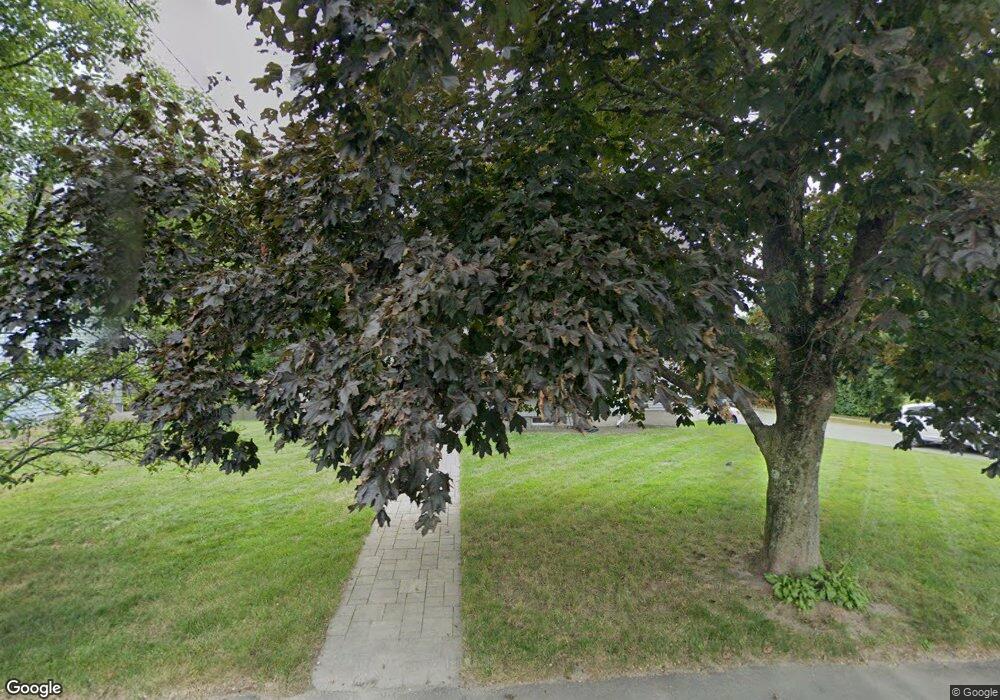
195 Plain St Millis, MA 02054
Estimated Value: $585,479 - $654,000
3
Beds
1
Bath
2,131
Sq Ft
$291/Sq Ft
Est. Value
About This Home
This home is located at 195 Plain St, Millis, MA 02054 and is currently estimated at $619,120, approximately $290 per square foot. 195 Plain St is a home located in Norfolk County with nearby schools including Clyde F Brown, Millis Middle School, and Millis High School.
Ownership History
Date
Name
Owned For
Owner Type
Purchase Details
Closed on
Sep 12, 2011
Sold by
Fhlmc
Bought by
Lienhard Thomas J and Epstein Mandy L
Current Estimated Value
Home Financials for this Owner
Home Financials are based on the most recent Mortgage that was taken out on this home.
Original Mortgage
$211,050
Outstanding Balance
$146,716
Interest Rate
4.58%
Mortgage Type
Purchase Money Mortgage
Estimated Equity
$472,404
Purchase Details
Closed on
Apr 20, 2010
Sold by
Pitner Dennis M and Chase Home Finance Llc
Bought by
Fhlmc
Purchase Details
Closed on
May 17, 2006
Sold by
Pitner Dennis M and Pitner Rose
Bought by
Pitner Dennis M and Pitner Rose M
Home Financials for this Owner
Home Financials are based on the most recent Mortgage that was taken out on this home.
Original Mortgage
$300,000
Interest Rate
6.42%
Mortgage Type
Purchase Money Mortgage
Create a Home Valuation Report for This Property
The Home Valuation Report is an in-depth analysis detailing your home's value as well as a comparison with similar homes in the area
Home Values in the Area
Average Home Value in this Area
Purchase History
| Date | Buyer | Sale Price | Title Company |
|---|---|---|---|
| Lienhard Thomas J | $234,500 | -- | |
| Fhlmc | $203,000 | -- | |
| Pitner Dennis M | -- | -- |
Source: Public Records
Mortgage History
| Date | Status | Borrower | Loan Amount |
|---|---|---|---|
| Open | Lienhard Thomas J | $211,050 | |
| Previous Owner | Pitner Dennis M | $300,000 | |
| Previous Owner | Pitner Dennis M | $32,000 |
Source: Public Records
Tax History
| Year | Tax Paid | Tax Assessment Tax Assessment Total Assessment is a certain percentage of the fair market value that is determined by local assessors to be the total taxable value of land and additions on the property. | Land | Improvement |
|---|---|---|---|---|
| 2025 | $8,248 | $502,900 | $221,300 | $281,600 |
| 2024 | $7,819 | $476,200 | $204,300 | $271,900 |
| 2023 | $6,961 | $398,000 | $162,800 | $235,200 |
| 2022 | $8,032 | $425,400 | $174,700 | $250,700 |
| 2021 | $6,998 | $356,700 | $151,000 | $205,700 |
| 2020 | $6,985 | $346,800 | $141,100 | $205,700 |
| 2019 | $6,212 | $332,200 | $126,500 | $205,700 |
| 2018 | $5,986 | $332,200 | $126,500 | $205,700 |
| 2017 | $5,587 | $303,300 | $106,900 | $196,400 |
| 2016 | $5,290 | $303,300 | $106,900 | $196,400 |
| 2015 | $5,156 | $303,300 | $106,900 | $196,400 |
Source: Public Records
Map
Nearby Homes
- 199 Plain St
- 5 Monroe St
- 207 Plain St
- 174A Plain St
- 7 Forest Rd
- 5 Forest Rd
- 3 Forest Rd
- 3 Forest Rd Unit 3
- 5 Forest Rd Unit 5,1
- 177 Plain St
- 171 Plain St
- 171 Plain St Unit 2
- 171 Plain St Unit 1
- 215 Plain St
- 9 Forest Rd
- 87 Monroe St Unit 18
- 85 Monroe St Unit 17
- 79 Monroe St Unit 15
- 81 Monroe St Unit 16
- 59 Monroe St Unit 6
Your Personal Tour Guide
Ask me questions while you tour the home.