1950 Debra Sue Ct Eugene, OR 97404
River Road NeighborhoodEstimated Value: $440,000 - $499,000
3
Beds
2
Baths
1,578
Sq Ft
$295/Sq Ft
Est. Value
About This Home
This home is located at 1950 Debra Sue Ct, Eugene, OR 97404 and is currently estimated at $465,227, approximately $294 per square foot. 1950 Debra Sue Ct is a home located in Lane County with nearby schools including Irving Elementary School, Shasta Middle School, and Willamette High School.
Ownership History
Date
Name
Owned For
Owner Type
Purchase Details
Closed on
Jun 8, 2015
Sold by
Tk Homes Llc
Bought by
Schropp Michael S
Current Estimated Value
Home Financials for this Owner
Home Financials are based on the most recent Mortgage that was taken out on this home.
Original Mortgage
$258,335
Outstanding Balance
$198,145
Interest Rate
3.64%
Mortgage Type
VA
Estimated Equity
$267,082
Purchase Details
Closed on
Sep 26, 2014
Sold by
524 Bushnell Llc
Bought by
Tk Homes Llc
Create a Home Valuation Report for This Property
The Home Valuation Report is an in-depth analysis detailing your home's value as well as a comparison with similar homes in the area
Home Values in the Area
Average Home Value in this Area
Purchase History
| Date | Buyer | Sale Price | Title Company |
|---|---|---|---|
| Schropp Michael S | $265,000 | Western Title & Escrow Co | |
| Tk Homes Llc | $60,000 | Western Title & Escrow Co |
Source: Public Records
Mortgage History
| Date | Status | Borrower | Loan Amount |
|---|---|---|---|
| Open | Schropp Michael S | $258,335 |
Source: Public Records
Tax History
| Year | Tax Paid | Tax Assessment Tax Assessment Total Assessment is a certain percentage of the fair market value that is determined by local assessors to be the total taxable value of land and additions on the property. | Land | Improvement |
|---|---|---|---|---|
| 2025 | $4,192 | $241,023 | -- | -- |
| 2024 | $4,087 | $234,003 | -- | -- |
| 2023 | $4,087 | $227,188 | $0 | $0 |
| 2022 | $3,804 | $220,571 | $0 | $0 |
| 2021 | $3,724 | $214,147 | $0 | $0 |
| 2020 | $3,615 | $207,910 | $0 | $0 |
| 2019 | $3,438 | $201,855 | $0 | $0 |
| 2018 | $3,342 | $190,268 | $0 | $0 |
| 2017 | $3,193 | $190,268 | $0 | $0 |
| 2016 | $3,112 | $184,726 | $0 | $0 |
| 2015 | $1,315 | $77,318 | $0 | $0 |
| 2014 | $211 | $12,223 | $0 | $0 |
Source: Public Records
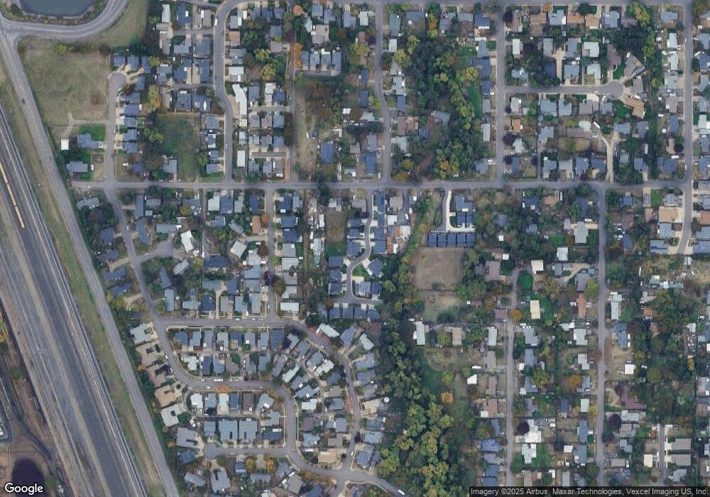
Map
Nearby Homes
- 1384 David Ave
- 2418 Kalmia St
- 1755 Brentwood Ave
- 2488 Northampton
- 1682 Hemlock St
- 2484 Crowther Dr
- 2563 York St
- 1566 Maywood Ave
- 0 Pacific Hwy W
- 2580 Crowther Dr
- 2740 Stark St
- 2610 Crowther Dr
- 2721 La Darrah St
- 303 Lenore Loop
- 3906 Century Dr
- 401 Sterling Dr
- 3717 Riviera
- 2931 Shelby Way
- 2987 Dry Creek Rd
- 2439 Quince St
- 1958 Debra Sue Ct
- 1930 Debra Sue Ct
- 1955 Debra Sue Ct
- 1961 Debra Sue Ct
- 1943 Debra Sue Ct
- 524 Bushnell Ln
- 1924 Debra Sue Ct
- 1975 Debra Sue Ct
- 1925 Debra Sue Ct
- 550 Bushnell Ln
- 528 Bushnell Ln
- 1920 Debra Sue Ct
- 0 Debra Sue Ct
- 1905 Debra Sue Ct
- 530 Bushnell Ln
- 1983 Debra Sue Ct
- 520 Bushnell Ln
- 1910 Debra Sue Ct
- 1914 Debra Sue Ct
- 1906 Debra Sue Ct
Your Personal Tour Guide
Ask me questions while you tour the home.