1950 Double Bridges Rd Good Hope, GA 30641
Estimated Value: $505,000 - $738,000
--
Bed
--
Bath
1,968
Sq Ft
$332/Sq Ft
Est. Value
About This Home
This home is located at 1950 Double Bridges Rd, Good Hope, GA 30641 and is currently estimated at $653,024, approximately $331 per square foot. 1950 Double Bridges Rd is a home located in Walton County with nearby schools including Harmony Elementary School, Carver Middle School, and Monroe Area High School.
Ownership History
Date
Name
Owned For
Owner Type
Purchase Details
Closed on
Feb 20, 2024
Sold by
Rutledge Stephen F
Bought by
Rutledge Michelle Lynn and Rutledge Stephen F
Current Estimated Value
Purchase Details
Closed on
Feb 10, 2006
Sold by
Roberts Benny and Roberts Benjamin P
Bought by
Rutledge Stephen F
Home Financials for this Owner
Home Financials are based on the most recent Mortgage that was taken out on this home.
Original Mortgage
$255,000
Interest Rate
6.08%
Mortgage Type
New Conventional
Purchase Details
Closed on
Oct 22, 2002
Sold by
Crump William L and Crump Virginia M
Bought by
Roberts Benjamin P and Roberts Benny
Home Financials for this Owner
Home Financials are based on the most recent Mortgage that was taken out on this home.
Original Mortgage
$258,400
Interest Rate
6.21%
Mortgage Type
New Conventional
Create a Home Valuation Report for This Property
The Home Valuation Report is an in-depth analysis detailing your home's value as well as a comparison with similar homes in the area
Home Values in the Area
Average Home Value in this Area
Purchase History
| Date | Buyer | Sale Price | Title Company |
|---|---|---|---|
| Rutledge Michelle Lynn | -- | -- | |
| Rutledge Stephen F | $350,000 | -- | |
| Roberts Benjamin P | $323,000 | -- |
Source: Public Records
Mortgage History
| Date | Status | Borrower | Loan Amount |
|---|---|---|---|
| Previous Owner | Rutledge Stephen F | $255,000 | |
| Previous Owner | Roberts Benjamin P | $258,400 |
Source: Public Records
Tax History Compared to Growth
Tax History
| Year | Tax Paid | Tax Assessment Tax Assessment Total Assessment is a certain percentage of the fair market value that is determined by local assessors to be the total taxable value of land and additions on the property. | Land | Improvement |
|---|---|---|---|---|
| 2024 | $5,058 | $201,040 | $76,320 | $124,720 |
| 2023 | $4,986 | $188,000 | $72,440 | $115,560 |
| 2022 | $4,894 | $171,240 | $67,760 | $103,480 |
| 2021 | $4,389 | $143,480 | $52,680 | $90,800 |
| 2020 | $4,262 | $134,200 | $45,720 | $88,480 |
| 2019 | $4,081 | $124,160 | $40,640 | $83,520 |
| 2018 | $4,019 | $124,160 | $40,640 | $83,520 |
| 2017 | $4,198 | $121,840 | $40,640 | $81,200 |
| 2016 | $3,405 | $102,800 | $31,760 | $71,040 |
| 2015 | $3,349 | $99,560 | $31,760 | $67,800 |
| 2014 | $3,310 | $96,040 | $0 | $0 |
Source: Public Records
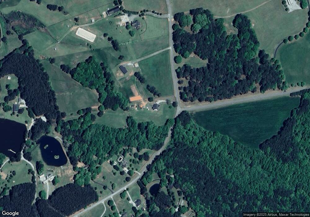
Map
Nearby Homes
- 1725 Double Bridges Rd
- 3061 Marion Ivie Rd
- 3193 Old Monroe Madison Hwy
- 230 Good Hope Preserve
- 226 Good Hope Preserve
- 224 Good Hope Preserve
- 222 Good Hope Preserve
- 240 Good Hope Preserve
- TRACT 28 H Chandler Rd
- TRACT 27 H Chandler Rd
- TRACT 26 H Chandler Rd
- 205 Squirrel Run
- 209 Squirrel Run
- 429 Rabbit Run
- 1953 Barton Bridge Rd
- 0 Queens Cemetery Rd Unit 7640672
- 0 Queens Cemetery Rd Unit 10593824
- 1560 J M Brown Rd
- 360 Sheets Cemetery Rd
- 0 Double Bridges Rd Unit 7225087
- 0 Double Bridges Rd Unit 7221052
- 0 Double Bridges Rd Unit 7028619
- 0 Double Bridges Rd Unit 8122168
- 0 Double Bridges Rd Unit 7001295
- 0 Double Bridges Rd Unit 3258977
- 0 Double Bridges Rd Unit 8021035
- 280 Sheets Cemetery Rd
- 300 Sheets Cemetery Rd
- 1850 Double Bridges Rd
- 1815 Double Bridges Rd
- 1825 Double Bridges Rd
- 1805 Double Bridges Rd
- 1790 Double Bridges Rd
- 1795 Double Bridges Rd
- 1750 Double Bridges Rd
- 1785 Double Bridges Rd
- 1775 Double Bridges Rd
- 1224 Lew Dr