1950 E Double k Dr Safford, AZ 85546
Estimated Value: $356,000 - $394,000
--
Bed
--
Bath
2,046
Sq Ft
$184/Sq Ft
Est. Value
About This Home
This home is located at 1950 E Double k Dr, Safford, AZ 85546 and is currently estimated at $376,255, approximately $183 per square foot. 1950 E Double k Dr is a home located in Graham County with nearby schools including Dorothy Stinson School, Ruth Powell Elementary School, and Lafe Nelson School.
Ownership History
Date
Name
Owned For
Owner Type
Purchase Details
Closed on
Jun 8, 2012
Sold by
Benoschek Marlin and Flower Vera Larkey
Bought by
Waite Michael J
Current Estimated Value
Home Financials for this Owner
Home Financials are based on the most recent Mortgage that was taken out on this home.
Original Mortgage
$163,440
Outstanding Balance
$112,790
Interest Rate
3.74%
Mortgage Type
VA
Estimated Equity
$263,465
Create a Home Valuation Report for This Property
The Home Valuation Report is an in-depth analysis detailing your home's value as well as a comparison with similar homes in the area
Home Values in the Area
Average Home Value in this Area
Purchase History
| Date | Buyer | Sale Price | Title Company |
|---|---|---|---|
| Waite Michael J | $160,000 | Safford Title Agency |
Source: Public Records
Mortgage History
| Date | Status | Borrower | Loan Amount |
|---|---|---|---|
| Open | Waite Michael J | $163,440 |
Source: Public Records
Tax History Compared to Growth
Tax History
| Year | Tax Paid | Tax Assessment Tax Assessment Total Assessment is a certain percentage of the fair market value that is determined by local assessors to be the total taxable value of land and additions on the property. | Land | Improvement |
|---|---|---|---|---|
| 2026 | $1,183 | -- | -- | -- |
| 2025 | $1,183 | $22,302 | $3,349 | $18,953 |
| 2024 | $1,218 | $20,229 | $2,366 | $17,863 |
| 2023 | $1,218 | $16,233 | $2,189 | $14,044 |
| 2022 | $1,192 | $14,265 | $1,715 | $12,550 |
| 2021 | $1,298 | $0 | $0 | $0 |
| 2020 | $1,247 | $0 | $0 | $0 |
| 2019 | $1,302 | $0 | $0 | $0 |
| 2018 | $1,228 | $0 | $0 | $0 |
| 2017 | $1,104 | $0 | $0 | $0 |
| 2016 | $1,016 | $0 | $0 | $0 |
| 2015 | $926 | $0 | $0 | $0 |
Source: Public Records
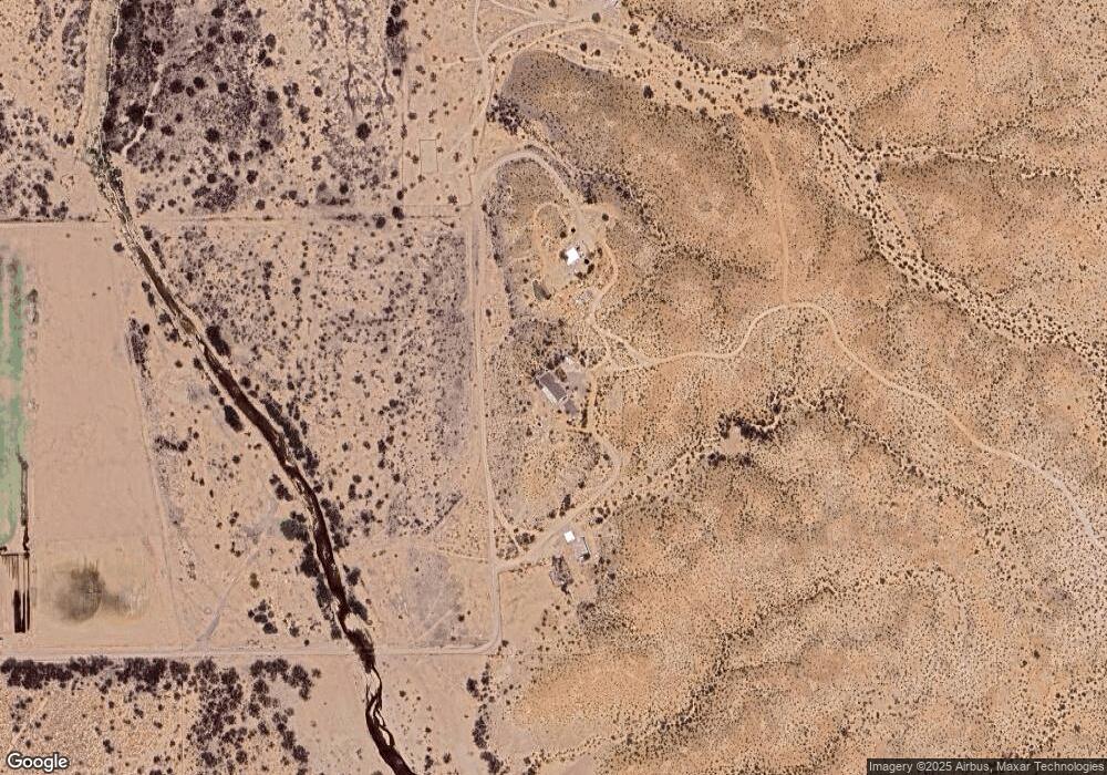
Map
Nearby Homes
- APN# 103-22-018
- tbd Tbd
- tbd Tbd Unit 4
- tbd Tbd Unit 3
- tbd Tbd Unit 2
- tbd Tbd Unit 1
- 0 Tbd Unit 1721186
- 3354 S Us Highway 191
- 3768 Busby Dr
- 2464 S Montierth Ln
- 5256 S Us Hwy 191 Lot 1 -- Unit 1
- 5256 U S 191 Unit 5
- 5920 S Harmon Ln
- 1601 E 68th Place
- 400 E Observatory St
- 2056 E U S Highway 70
- 8th and Discovery --
- 417 E Lone Star Rd
- 0 No Address Available Unknown Unit 22424757
- 315 W 24th St