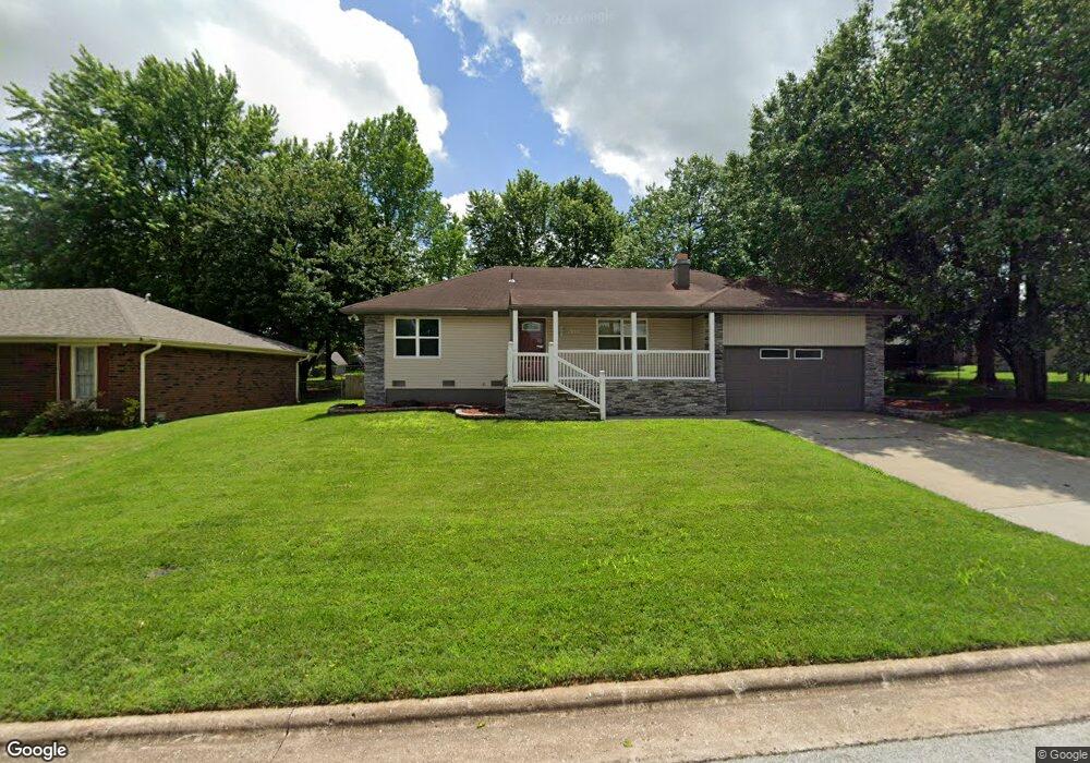
1950 E Snider St Springfield, MO 65803
Estimated Value: $201,000 - $211,326
3
Beds
2
Baths
1,268
Sq Ft
$163/Sq Ft
Est. Value
About This Home
This home is located at 1950 E Snider St, Springfield, MO 65803 and is currently estimated at $206,582, approximately $162 per square foot. 1950 E Snider St is a home located in Greene County with nearby schools including Fremont Elementary School, Pleasant View K-8 School, and Hillcrest High School.
Ownership History
Date
Name
Owned For
Owner Type
Purchase Details
Closed on
Nov 21, 2007
Sold by
Walbridge Hazel Y
Bought by
Christian County Of and Cleeton Ryan E
Current Estimated Value
Home Financials for this Owner
Home Financials are based on the most recent Mortgage that was taken out on this home.
Original Mortgage
$91,500
Outstanding Balance
$57,953
Interest Rate
6.4%
Mortgage Type
New Conventional
Estimated Equity
$148,629
Create a Home Valuation Report for This Property
The Home Valuation Report is an in-depth analysis detailing your home's value as well as a comparison with similar homes in the area
Purchase History
| Date | Buyer | Sale Price | Title Company |
|---|---|---|---|
| Christian County Of | -- | None Available |
Source: Public Records
Mortgage History
| Date | Status | Borrower | Loan Amount |
|---|---|---|---|
| Open | Christian County Of | $91,500 |
Source: Public Records
Tax History
| Year | Tax Paid | Tax Assessment Tax Assessment Total Assessment is a certain percentage of the fair market value that is determined by local assessors to be the total taxable value of land and additions on the property. | Land | Improvement |
|---|---|---|---|---|
| 2025 | $1,260 | $25,290 | $8,320 | $16,970 |
| 2024 | $1,118 | $20,840 | $4,180 | $16,660 |
| 2023 | $1,112 | $20,840 | $4,180 | $16,660 |
| 2022 | $1,046 | $19,150 | $4,180 | $14,970 |
| 2021 | $1,046 | $19,150 | $4,180 | $14,970 |
| 2020 | $984 | $17,230 | $4,180 | $13,050 |
| 2019 | $956 | $17,230 | $4,180 | $13,050 |
| 2018 | $794 | $14,310 | $3,230 | $11,080 |
| 2017 | $786 | $14,310 | $3,230 | $11,080 |
| 2016 | $784 | $14,310 | $3,230 | $11,080 |
| 2015 | $777 | $14,310 | $3,230 | $11,080 |
| 2014 | $783 | $14,310 | $3,230 | $11,080 |
Source: Public Records
Map
Nearby Homes
- 3424 N Darwin Ave
- 1923 E Valley Water Mill Rd
- 4260 N State Highway H
- 1502 E McClernon St
- 3839 N Stewart Ave
- 1414 E Smith St
- 1339 E McClernon St
- 3975 N Stewart Ave
- 1255 E Bonaire Dr
- 3749 N Pickwick Ave
- 3753 N Pickwick Ave
- 2393 E Valley Water Mill Rd
- 3107 N Neergard Ave
- 1349 E Stoneridge St
- 1406 E Nora St
- 3983 N Courtney Cir
- 1508 E Livingston St
- 1113 E Smith St
- 1103 E Smith St
- 1107 E Smith St
- 1958 E Snider St
- 1946 E Snider St
- 3338 N Greenview Ave
- 3332 N Greenview Ave
- 1968 E Snider St
- 1939 E Greenview St
- 1955 E Snider St
- 1961 E Snider St
- 1945 E Snider St
- 1945 E Greenview St
- 1941 E Snider St
- 3335 N Wildan Ave
- 1951 E Greenview St
- 3347 N Greenview Ave
- 3341 N Greenview Ave
- 3355 N Wildan Ct
- 3337 N Greenview Ave
- 3323 N Wildan Ave
- 1921 E Snider St
- 3340 N Wildan Ave
Your Personal Tour Guide
Ask me questions while you tour the home.