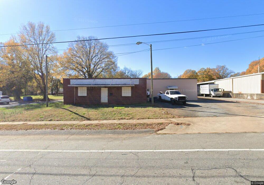
1950 S Mcduffie St Anderson, SC 29624
--
Bed
--
Bath
5,780
Sq Ft
0.4
Acres
About This Home
This home is located at 1950 S Mcduffie St, Anderson, SC 29624. 1950 S Mcduffie St is a home located in Anderson County with nearby schools including Varennes Elementary School, McCants Middle School, and T.L. Hanna High School.
Ownership History
Date
Name
Owned For
Owner Type
Purchase Details
Closed on
Jan 30, 2012
Sold by
Grandsouth Bank
Bought by
Wilson Preston L
Home Financials for this Owner
Home Financials are based on the most recent Mortgage that was taken out on this home.
Original Mortgage
$33,300
Interest Rate
4%
Mortgage Type
Seller Take Back
Purchase Details
Closed on
Oct 24, 2008
Sold by
Dixon Linda Ann
Bought by
Fuller Commercial Investments Llc
Home Financials for this Owner
Home Financials are based on the most recent Mortgage that was taken out on this home.
Original Mortgage
$54,400
Interest Rate
5.96%
Mortgage Type
Commercial
Create a Home Valuation Report for This Property
The Home Valuation Report is an in-depth analysis detailing your home's value as well as a comparison with similar homes in the area
Home Values in the Area
Average Home Value in this Area
Purchase History
| Date | Buyer | Sale Price | Title Company |
|---|---|---|---|
| Wilson Preston L | $37,000 | -- | |
| Fuller Commercial Investments Llc | $68,000 | -- |
Source: Public Records
Mortgage History
| Date | Status | Borrower | Loan Amount |
|---|---|---|---|
| Closed | Wilson Preston L | $33,300 | |
| Previous Owner | Fuller Commercial Investments Llc | $54,400 |
Source: Public Records
Tax History Compared to Growth
Tax History
| Year | Tax Paid | Tax Assessment Tax Assessment Total Assessment is a certain percentage of the fair market value that is determined by local assessors to be the total taxable value of land and additions on the property. | Land | Improvement |
|---|---|---|---|---|
| 2024 | $1,503 | $5,360 | $790 | $4,570 |
| 2023 | $1,503 | $5,360 | $790 | $4,570 |
| 2022 | $1,465 | $5,360 | $790 | $4,570 |
| 2021 | $1,327 | $4,080 | $530 | $3,550 |
| 2020 | $1,308 | $4,080 | $530 | $3,550 |
| 2019 | $1,308 | $4,080 | $530 | $3,550 |
| 2018 | $1,290 | $4,080 | $530 | $3,550 |
| 2017 | -- | $4,080 | $530 | $3,550 |
| 2016 | $1,196 | $3,860 | $480 | $3,380 |
| 2015 | $1,208 | $3,860 | $480 | $3,380 |
| 2014 | $1,190 | $3,860 | $480 | $3,380 |
Source: Public Records
Map
Nearby Homes
- 1709 Lyndon Ave
- 1609 Lyndon Ave
- 421 Valentine St
- 1619 Nardin Ave
- 1616 Meadowbrook Cir
- 1609 S Mcduffie St
- 6 Herring Ave
- 16 N Prince St
- 329 Sherman Dr
- 302 Fallstaff St
- 1510 S Fant St
- 1606 S Murray Avenue Extension
- 1502 Nardin Ave
- 1413 S Mcduffie St
- 406 Cleveland Ave
- 46 S Lyons St
- 2318 S Mcduffie St
- 1411 S Mcduffie St
- 513 Cleveland Ave
- 122 Avondale Rd