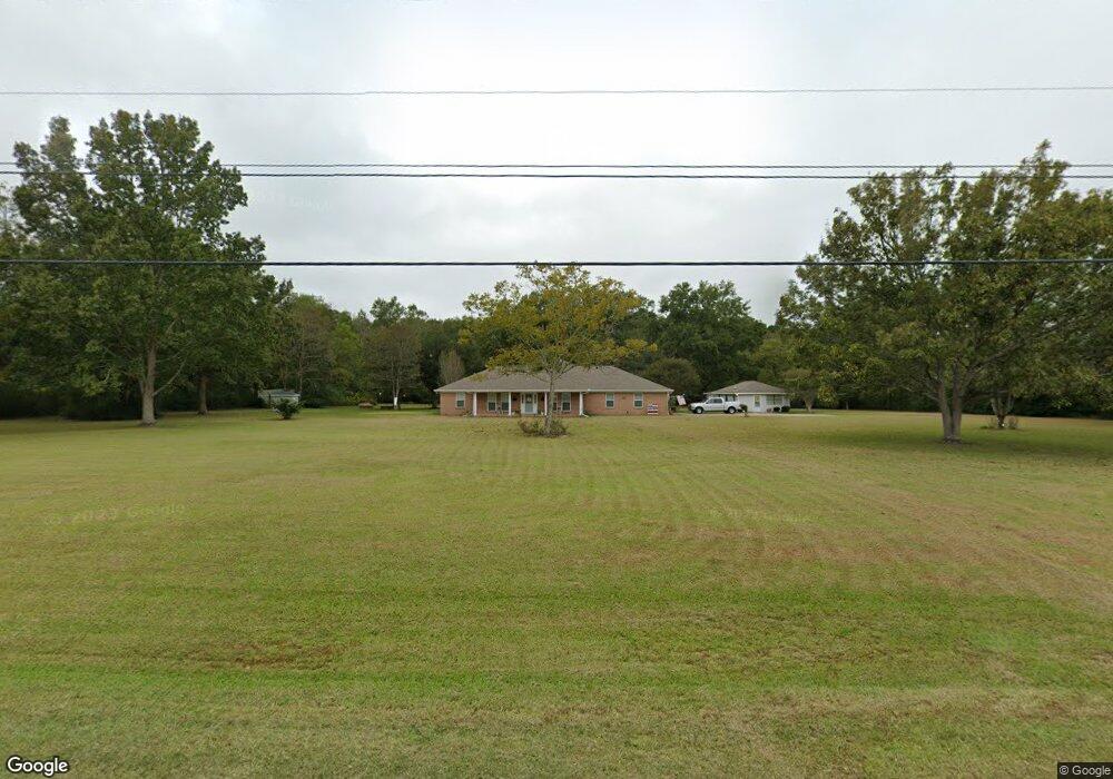
19501 Snell Place Moss Point, MS 39562
Estimated Value: $379,000 - $481,000
Studio
2
Baths
2,671
Sq Ft
$155/Sq Ft
Est. Value
About This Home
This home is located at 19501 Snell Place, Moss Point, MS 39562 and is currently estimated at $413,283, approximately $154 per square foot. 19501 Snell Place is a home located in Jackson County with nearby schools including East Central Lower Elementary School, East Central Upper Elementary School, and East Central Middle School.
Ownership History
Date
Name
Owned For
Owner Type
Purchase Details
Closed on
Sep 2, 2018
Sold by
Neal Tamara R
Bought by
Paul N Broussard Ret
Current Estimated Value
Purchase Details
Closed on
Jul 1, 2015
Sold by
Bragg Carol S and Pounds Cheryl A
Bought by
Pounds Cheryl A and Pounds Preston Donald
Create a Home Valuation Report for This Property
The Home Valuation Report is an in-depth analysis detailing your home's value as well as a comparison with similar homes in the area
Purchase History
| Date | Buyer | Sale Price | Title Company |
|---|---|---|---|
| Paul N Broussard Ret | -- | -- | |
| Pounds Cheryl A | -- | None Available |
Source: Public Records
Tax History
| Year | Tax Paid | Tax Assessment Tax Assessment Total Assessment is a certain percentage of the fair market value that is determined by local assessors to be the total taxable value of land and additions on the property. | Land | Improvement |
|---|---|---|---|---|
| 2025 | $1,704 | $23,092 | $4,763 | $18,329 |
| 2024 | $1,704 | $22,076 | $4,623 | $17,453 |
| 2023 | $1,715 | $22,076 | $4,623 | $17,453 |
| 2022 | $1,667 | $21,788 | $0 | $0 |
| 2021 | $1,671 | $21,835 | $18,304 | $3,531 |
| 2020 | $1,775 | $22,194 | $4,632 | $17,562 |
| 2019 | $3,746 | $31,346 | $6,573 | $24,773 |
| 2018 | $1,790 | $22,194 | $4,632 | $17,562 |
| 2017 | $1,815 | $22,149 | $4,632 | $17,517 |
| 2016 | $1,743 | $22,149 | $4,632 | $17,517 |
| 2015 | $1,586 | $195,490 | $43,820 | $151,670 |
| 2014 | $1,628 | $21,358 | $4,632 | $16,726 |
| 2013 | $1,625 | $21,809 | $4,632 | $17,177 |
Source: Public Records
Map
Nearby Homes
- 8201 Pecan Ridge Dr
- 7805 Songbird Ln
- 0 Dap Rd E
- 01 Dap Rd E
- 17500 Goff Farm Rd
- 7201 Bentwood Dr
- 17920 Rayford Shumock Rd
- 26.1 Acres Brinkman Rd E
- 17952 Rayford Shumock Rd
- -0- Rayford Shumock Rd
- 0 Rayford Shumock Rd Unit 24406728
- 0 Rayford Shumock Rd Unit 4121875
- 0 Mississippi 614
- 0000 Mississippi 614
- 0 R B Dickerson Rd
- 8012 Coleman Homestead Rd
- 21704 Magnolia Springs Rd
- 21217 E Trails End Rd
- 0 Grafe Homestead Rd Unit 4137349
- 6200 Hurley Wade Rd
- 19505 Snell Place
- Nhn Frank Snell Rd
- 19605 Snell Place
- 8611 Frank Snell Rd
- 19504 Snell Place
- 8513 Frank Snell Rd
- 8200 Pecan Ridge Dr
- 19600 Snell Place
- 8100 Pecan Ridge Dr
- 19701 Snell Place
- Lot 6 Frank Snell Rd
- Lot 7 Frank Snell Rd
- No Frank Snell Rd
- 8004 Pecan Ridge Dr
- 8717 Frank Snell Rd
- 8404 Frank Snell Rd
- 8000 Pecan Ridge Dr
- 19700 Snell Place
- 8712 Frank Snell Rd
- 8105 Pecan Ridge Dr
Your Personal Tour Guide
Ask me questions while you tour the home.