19502 469th St McGregor, MN 55760
Estimated Value: $309,000 - $481,000
1
Bed
1
Bath
684
Sq Ft
$543/Sq Ft
Est. Value
About This Home
This home is located at 19502 469th St, McGregor, MN 55760 and is currently estimated at $371,668, approximately $543 per square foot. 19502 469th St is a home located in Aitkin County with nearby schools including McGregor Elementary School and McGregor Secondary School.
Ownership History
Date
Name
Owned For
Owner Type
Purchase Details
Closed on
Dec 21, 2015
Sold by
Rosenving Elmer Elmer
Bought by
Hopp David and Smith-Hopp Karen
Current Estimated Value
Home Financials for this Owner
Home Financials are based on the most recent Mortgage that was taken out on this home.
Original Mortgage
$179,000
Outstanding Balance
$141,605
Interest Rate
3.88%
Estimated Equity
$230,063
Create a Home Valuation Report for This Property
The Home Valuation Report is an in-depth analysis detailing your home's value as well as a comparison with similar homes in the area
Purchase History
| Date | Buyer | Sale Price | Title Company |
|---|---|---|---|
| Hopp David | $180,000 | -- |
Source: Public Records
Mortgage History
| Date | Status | Borrower | Loan Amount |
|---|---|---|---|
| Open | Hopp David | $179,000 |
Source: Public Records
Tax History
| Year | Tax Paid | Tax Assessment Tax Assessment Total Assessment is a certain percentage of the fair market value that is determined by local assessors to be the total taxable value of land and additions on the property. | Land | Improvement |
|---|---|---|---|---|
| 2025 | $1,964 | $317,300 | $243,600 | $73,700 |
| 2024 | $1,773 | $316,400 | $249,300 | $67,100 |
| 2023 | $1,586 | $296,300 | $232,100 | $64,200 |
| 2022 | $1,566 | $232,300 | $168,700 | $63,600 |
| 2021 | $1,632 | $172,600 | $130,400 | $42,200 |
| 2020 | $1,664 | $175,300 | $137,500 | $37,800 |
| 2019 | $1,728 | $174,600 | $137,500 | $37,100 |
| 2018 | $1,778 | $174,700 | $137,500 | $37,200 |
| 2017 | $1,854 | $181,800 | $144,600 | $37,200 |
| 2016 | $1,835 | $188,900 | $151,700 | $37,200 |
| 2014 | $1,843 | $197,900 | $157,600 | $40,300 |
| 2012 | $19 | $226,600 | $183,800 | $42,800 |
Source: Public Records
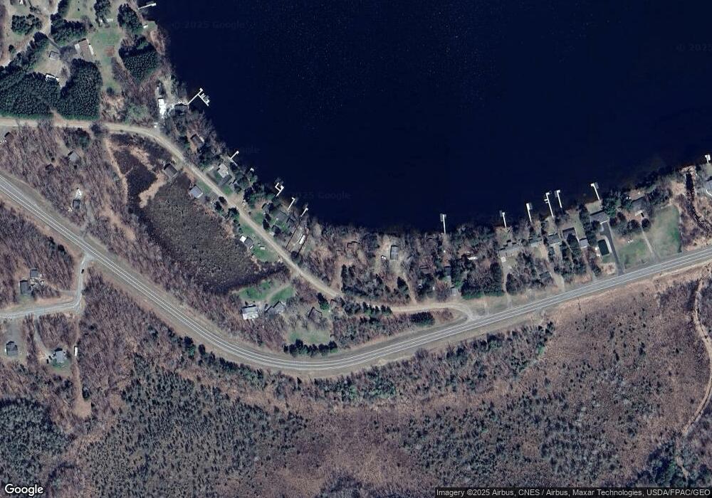
Map
Nearby Homes
- 47114 188th Ave
- 47011 185th Ave
- 184th 184th St
- 48411 196th Place
- TBD 484th St
- 47458 182nd Ave
- 48525 194th Place
- 48228 207th Ave
- 47190
- 20523 493rd Ln
- TBDxx Lake Ave
- 43950 200th Ave
- 49734 202nd Place
- 49760 202nd Place
- 47158 156th Place
- 46993 156th Place
- 50796 202nd Place
- 50340 217th Ave
- TBD 217th Ave
- TBD 170th Place
- 19448 469th St
- 19548 469th St
- 19527 469th St
- 19558 469th St
- 19566 469th St
- 19420 469th St
- 19582 469th St
- 19300 Goshawk St
- 19594 469th St
- 19436 469th St
- 19606 469th St
- 19606 469th St
- 19282 Goshawk St
- 19282 Goshawk St
- 19440 469th St
- 19634 469th St
- 19650 Goshawk St
- 19635 Goshawk St
- 19238 Goshawk St
- 19656 469th St
Your Personal Tour Guide
Ask me questions while you tour the home.