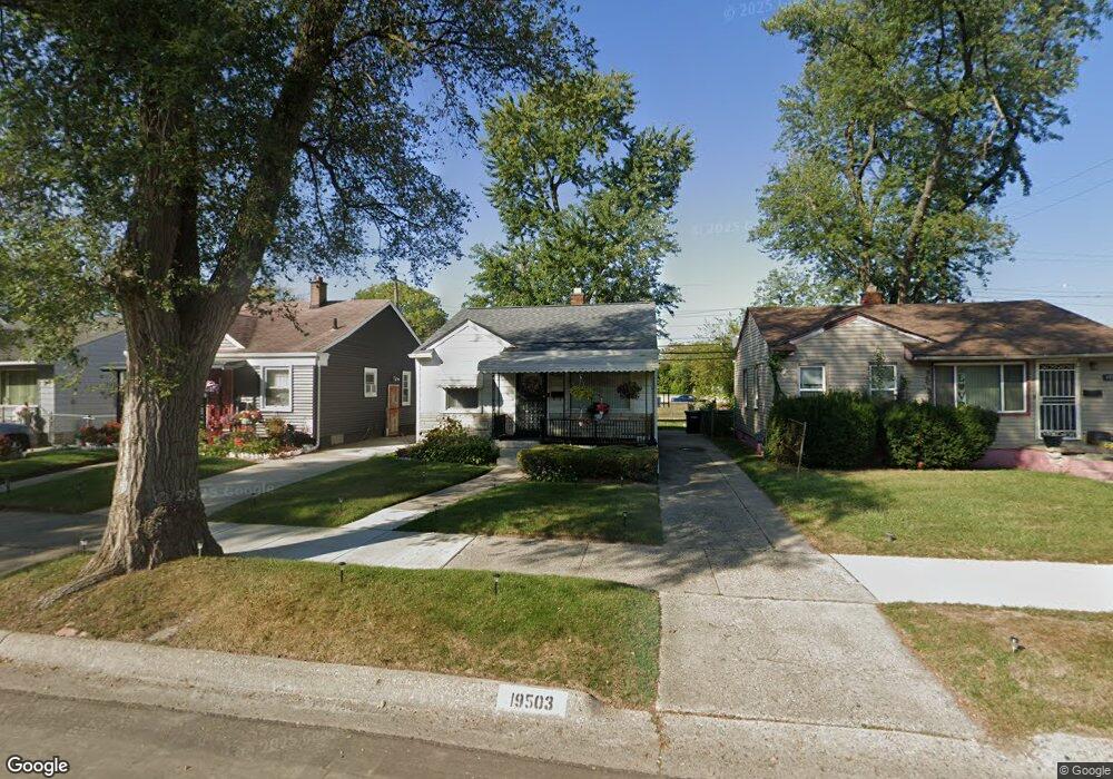
19503 Fenmore St Detroit, MI 48235
Greenfield NeighborhoodEstimated Value: $55,000 - $74,000
--
Bed
1
Bath
720
Sq Ft
$95/Sq Ft
Est. Value
About This Home
This home is located at 19503 Fenmore St, Detroit, MI 48235 and is currently estimated at $68,537, approximately $95 per square foot. 19503 Fenmore St is a home located in Wayne County with nearby schools including Bow Elementary-Middle School, Charles L. Spain Elementary-Middle School, and Edward 'Duke' Ellington Conservatory of Music and Art.
Ownership History
Date
Name
Owned For
Owner Type
Purchase Details
Closed on
Aug 30, 2005
Sold by
Morrow Dorothy A and Morrow Eugene
Bought by
Morrow Dorothy J
Current Estimated Value
Home Financials for this Owner
Home Financials are based on the most recent Mortgage that was taken out on this home.
Original Mortgage
$51,000
Outstanding Balance
$32,695
Interest Rate
9.2%
Mortgage Type
Fannie Mae Freddie Mac
Estimated Equity
$35,842
Purchase Details
Closed on
Sep 3, 2003
Sold by
Estate Of Marie Johnson
Bought by
Morrow Eugene
Create a Home Valuation Report for This Property
The Home Valuation Report is an in-depth analysis detailing your home's value as well as a comparison with similar homes in the area
Home Values in the Area
Average Home Value in this Area
Purchase History
| Date | Buyer | Sale Price | Title Company |
|---|---|---|---|
| Morrow Dorothy J | -- | Multiple | |
| Morrow Eugene | $50,000 | Metro Title Corp |
Source: Public Records
Mortgage History
| Date | Status | Borrower | Loan Amount |
|---|---|---|---|
| Open | Morrow Dorothy J | $51,000 |
Source: Public Records
Tax History Compared to Growth
Tax History
| Year | Tax Paid | Tax Assessment Tax Assessment Total Assessment is a certain percentage of the fair market value that is determined by local assessors to be the total taxable value of land and additions on the property. | Land | Improvement |
|---|---|---|---|---|
| 2025 | $769 | $27,800 | $0 | $0 |
| 2024 | $769 | $24,900 | $0 | $0 |
| 2023 | $744 | $19,700 | $0 | $0 |
| 2022 | $804 | $15,900 | $0 | $0 |
| 2021 | $786 | $12,600 | $0 | $0 |
| 2020 | $779 | $11,600 | $0 | $0 |
| 2019 | $769 | $9,500 | $0 | $0 |
| 2018 | $672 | $7,800 | $0 | $0 |
| 2017 | $137 | $7,200 | $0 | $0 |
| 2016 | $849 | $10,100 | $0 | $0 |
| 2015 | $1,010 | $10,100 | $0 | $0 |
| 2013 | $1,007 | $14,231 | $0 | $0 |
| 2010 | -- | $20,390 | $580 | $19,810 |
Source: Public Records
Map
Nearby Homes
- 19433 Fenmore St
- 19425 Fenmore St
- 19765 Archdale St
- 19377 Fenmore St
- 19731 Harlow St
- 19365 Fenmore St
- 19345 Fenmore St
- 19379 Ashton Ave
- 19338 Fenmore St
- 19400 Harlow St
- 19344 Ashton Ave
- 19751 Oakfield St
- 18231 Pembroke Ave
- 19781 Oakfield St
- 19435 Rosemont Ave
- 19925 Archdale St
- 19324 Archdale St
- 19307 Fenmore St
- 19303 Fenmore St
- 19780 Oakfield St
- 19495 Fenmore St
- 19511 Fenmore St
- 19489 Fenmore St
- 19481 Fenmore St
- 19703 Fenmore St
- 19475 Fenmore St
- 19494 Fenmore St
- 19510 Fenmore St
- 19467 Fenmore St
- 19480 Fenmore St
- 19709 Fenmore St
- 19717 Fenmore St
- 19700 Fenmore St
- 19474 Fenmore St
- 19489 Archdale St
- 19710 Fenmore St
- 19468 Fenmore St
- 19725 Fenmore St
- 19453 Fenmore St
- 19703 Archdale St