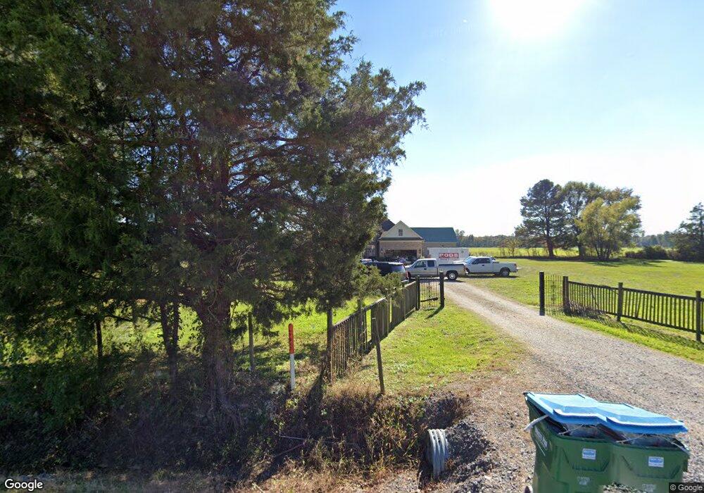
1951 Dean Rd Nesbit, MS 38651
Estimated Value: $335,000 - $376,000
3
Beds
2
Baths
1,732
Sq Ft
$207/Sq Ft
Est. Value
About This Home
This home is located at 1951 Dean Rd, Nesbit, MS 38651 and is currently estimated at $357,709, approximately $206 per square foot. 1951 Dean Rd is a home located in DeSoto County with nearby schools including Horn Lake Elementary School, Horn Lake Intermediate School, and Horn Lake Middle School.
Ownership History
Date
Name
Owned For
Owner Type
Purchase Details
Closed on
Oct 18, 2021
Sold by
Whitfield Paul and Whitfield Pam
Bought by
Krumm Annie E and Krumm Jacob D
Current Estimated Value
Home Financials for this Owner
Home Financials are based on the most recent Mortgage that was taken out on this home.
Original Mortgage
$212,000
Outstanding Balance
$192,483
Interest Rate
2.8%
Mortgage Type
New Conventional
Estimated Equity
$165,226
Purchase Details
Closed on
Aug 31, 2021
Sold by
Crain Mary C
Bought by
Mancini Dore
Home Financials for this Owner
Home Financials are based on the most recent Mortgage that was taken out on this home.
Original Mortgage
$212,000
Outstanding Balance
$192,483
Interest Rate
2.8%
Mortgage Type
New Conventional
Estimated Equity
$165,226
Purchase Details
Closed on
May 15, 2008
Sold by
Hopper Johnathan C and Hopper Brittney C
Bought by
Crain Don E and Crain Mary C
Create a Home Valuation Report for This Property
The Home Valuation Report is an in-depth analysis detailing your home's value as well as a comparison with similar homes in the area
Home Values in the Area
Average Home Value in this Area
Purchase History
| Date | Buyer | Sale Price | Title Company |
|---|---|---|---|
| Krumm Annie E | -- | Good Ttl Escrow & Closing Ll | |
| Mancini Dore | -- | Good Title | |
| Crain Don E | -- | None Available |
Source: Public Records
Mortgage History
| Date | Status | Borrower | Loan Amount |
|---|---|---|---|
| Open | Krumm Annie E | $212,000 |
Source: Public Records
Tax History
| Year | Tax Paid | Tax Assessment Tax Assessment Total Assessment is a certain percentage of the fair market value that is determined by local assessors to be the total taxable value of land and additions on the property. | Land | Improvement |
|---|---|---|---|---|
| 2025 | $1,844 | $25,674 | $3,000 | $22,674 |
| 2024 | $1,642 | $19,229 | $3,000 | $16,229 |
| 2023 | $1,642 | $19,229 | $0 | $0 |
| 2022 | $1,642 | $19,229 | $3,000 | $16,229 |
| 2021 | $1,053 | $17,930 | $3,000 | $14,930 |
| 2020 | $1,053 | $17,930 | $3,000 | $14,930 |
| 2019 | $1,053 | $17,930 | $3,000 | $14,930 |
| 2017 | $1,050 | $32,658 | $17,829 | $14,829 |
| 2016 | $1,050 | $17,829 | $3,000 | $14,829 |
| 2015 | $1,813 | $32,658 | $17,829 | $14,829 |
| 2014 | $1,040 | $17,829 | $0 | $0 |
| 2013 | $1,077 | $17,829 | $0 | $0 |
Source: Public Records
Map
Nearby Homes
- 2603 Odom Rd
- 1620 Gwynn Rd
- 1009 Collie Dr
- 956 Collie Dr
- 944 Collie Dr
- 932 Collie Dr
- 915 Collie Dr
- 896 Andys Way
- 2330 Robbie Lee Rd
- 1781 Benton Dr
- 1802 Millers Cove
- 1734 Winningham Dr
- 566 Benton Dr
- 00 Dean Rd
- 2565 Odom Rd
- 3399 Dean Cove N
- 555 Emma Cove
- 2288 Wanda Faye Dr
- 0 Highway 51 Unit 2319030
- 834 Rodeo Way
Your Personal Tour Guide
Ask me questions while you tour the home.