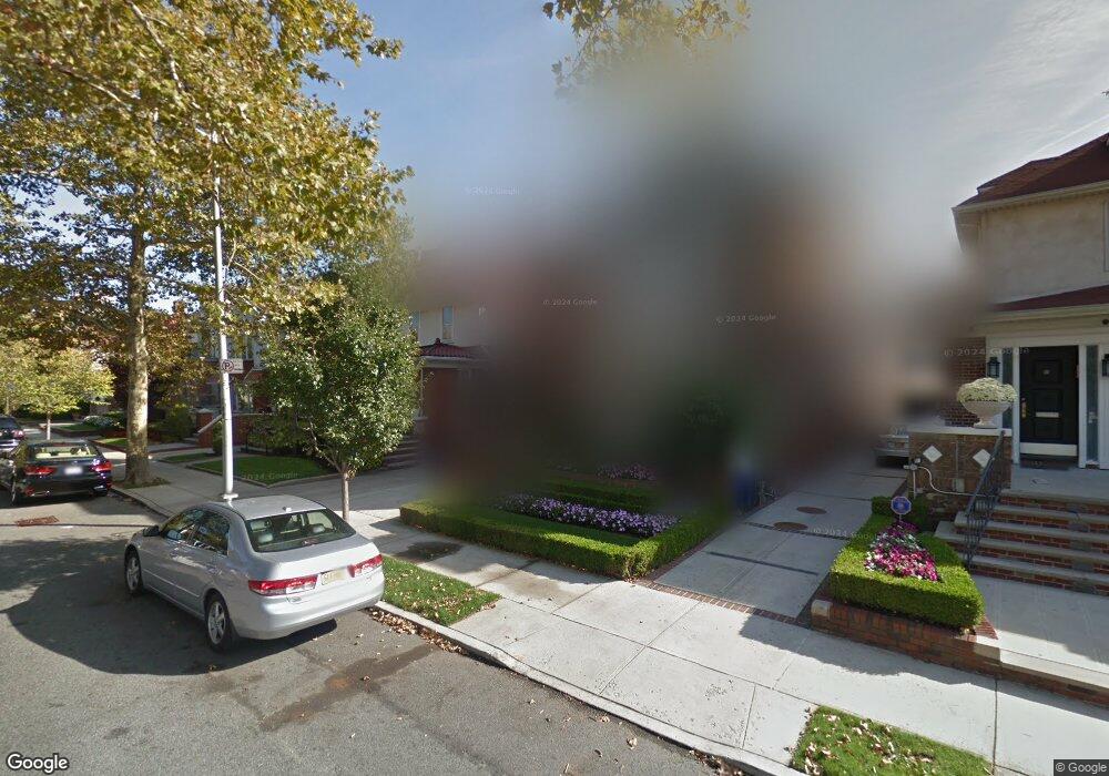
1951 E 5th St Brooklyn, NY 11223
Gravesend NeighborhoodEstimated Value: $4,363,000 - $6,929,849
Studio
--
Bath
4,048
Sq Ft
$1,469/Sq Ft
Est. Value
About This Home
This home is located at 1951 E 5th St, Brooklyn, NY 11223 and is currently estimated at $5,944,712, approximately $1,468 per square foot. 1951 E 5th St is a home located in Kings County with nearby schools including P.S. 215 Morris H Weiss, Is 228 David A Boody, and Abraham Lincoln High School.
Ownership History
Date
Name
Owned For
Owner Type
Purchase Details
Closed on
Dec 19, 2017
Sold by
Gindi Marlene and Gindi Sam J
Bought by
Mandalawi Tali
Current Estimated Value
Purchase Details
Closed on
Aug 3, 2005
Sold by
Gindi Marlene and Gindi Sam J
Bought by
Gindi Ten In Common Marlene and Gindi Sam J
Create a Home Valuation Report for This Property
The Home Valuation Report is an in-depth analysis detailing your home's value as well as a comparison with similar homes in the area
Home Values in the Area
Average Home Value in this Area
Purchase History
| Date | Buyer | Sale Price | Title Company |
|---|---|---|---|
| Mandalawi Tali | $3,700,000 | -- | |
| Mandalawi Tali | $3,700,000 | -- | |
| Mandalawi Tali | $3,700,000 | -- | |
| Gindi Ten In Common Marlene | -- | -- | |
| Gindi Ten In Common Marlene | -- | -- |
Source: Public Records
Tax History
| Year | Tax Paid | Tax Assessment Tax Assessment Total Assessment is a certain percentage of the fair market value that is determined by local assessors to be the total taxable value of land and additions on the property. | Land | Improvement |
|---|---|---|---|---|
| 2025 | $23,335 | $297,660 | $55,200 | $242,460 |
| 2024 | $23,335 | $235,140 | $55,200 | $179,940 |
| 2023 | $23,595 | $207,840 | $55,200 | $152,640 |
| 2022 | $21,730 | $170,100 | $55,200 | $114,900 |
| 2021 | $13,467 | $134,760 | $55,200 | $79,560 |
| 2020 | $6,316 | $135,720 | $55,200 | $80,520 |
| 2019 | $11,918 | $150,060 | $55,200 | $94,860 |
| 2018 | $11,613 | $56,969 | $15,654 | $41,315 |
| 2017 | $10,656 | $53,745 | $14,646 | $39,099 |
| 2016 | $10,351 | $53,326 | $12,351 | $40,975 |
| 2015 | $5,895 | $50,311 | $15,657 | $34,654 |
| 2014 | $5,895 | $47,476 | $17,728 | $29,748 |
Source: Public Records
Map
Nearby Homes
- 1802 Ocean Pkwy Unit C9
- 1802 Ocean Pkwy Unit D18
- 1899 E 3rd St
- 1811 Ocean Pkwy Unit 5L
- 394 Avenue S Unit 3D
- 394 Avenue S Unit 4A
- 388 Avenue S Unit 1B
- 388 Avenue S Unit 4F
- 388 Avenue S Unit 1A
- 393 Avenue S Unit 6G
- 393 Avenue S Unit 5D
- 393 Avenue S Unit 3G
- 393 Avenue S Unit 3H
- 367 Avenue S Unit 4A
- 367 Avenue S Unit 4F
- 367 Avenue S Unit 2E
- 2035 E 7th St Unit 3J
- 2035 E 7th St Unit 5F
- 1815 E 3rd St
- 1980 E 8th St
Your Personal Tour Guide
Ask me questions while you tour the home.