1951 Elm Rd Port Republic, MD 20676
Port Republic NeighborhoodEstimated Value: $492,887 - $637,000
--
Bed
1
Bath
1,420
Sq Ft
$385/Sq Ft
Est. Value
About This Home
This home is located at 1951 Elm Rd, Port Republic, MD 20676 and is currently estimated at $547,222, approximately $385 per square foot. 1951 Elm Rd is a home located in Calvert County with nearby schools including Barstow Elementary School, Calvert Middle School, and Calvert High School.
Ownership History
Date
Name
Owned For
Owner Type
Purchase Details
Closed on
Jun 6, 2023
Sold by
James B Greene Jr Trust
Bought by
Greene Cabin Trust
Current Estimated Value
Purchase Details
Closed on
Dec 22, 2008
Sold by
Greene James B
Bought by
Greene James B and Green James B
Purchase Details
Closed on
Dec 11, 2008
Sold by
Greene James B
Bought by
Greene James B and Green James B
Purchase Details
Closed on
Jul 27, 2005
Sold by
Greene James B
Bought by
Greene James B and Trustee
Purchase Details
Closed on
Jun 27, 2005
Sold by
Greene James B and James B Greene Jr Trust
Bought by
Greene James B and James B Greene Jr Trust
Purchase Details
Closed on
Apr 10, 2001
Sold by
Greene James B
Bought by
Greene James B and Trustee
Purchase Details
Closed on
Feb 25, 1997
Sold by
Greene Mary C
Bought by
Greene James B and Murphy Virginia Greene
Create a Home Valuation Report for This Property
The Home Valuation Report is an in-depth analysis detailing your home's value as well as a comparison with similar homes in the area
Home Values in the Area
Average Home Value in this Area
Purchase History
| Date | Buyer | Sale Price | Title Company |
|---|---|---|---|
| Greene Cabin Trust | -- | None Listed On Document | |
| Greene James B | -- | -- | |
| Greene James B | -- | -- | |
| Greene James B | -- | -- | |
| Greene James B | -- | None Available | |
| Greene James B | $91,750 | -- | |
| Greene James B | -- | -- |
Source: Public Records
Mortgage History
| Date | Status | Borrower | Loan Amount |
|---|---|---|---|
| Closed | Greene James B | -- |
Source: Public Records
Tax History Compared to Growth
Tax History
| Year | Tax Paid | Tax Assessment Tax Assessment Total Assessment is a certain percentage of the fair market value that is determined by local assessors to be the total taxable value of land and additions on the property. | Land | Improvement |
|---|---|---|---|---|
| 2025 | $4,484 | $416,133 | $0 | $0 |
| 2024 | $4,484 | $401,000 | $212,200 | $188,800 |
| 2023 | $4,132 | $382,833 | $0 | $0 |
| 2022 | $3,940 | $364,667 | $0 | $0 |
| 2021 | $3,762 | $346,500 | $212,200 | $134,300 |
| 2020 | $3,762 | $346,500 | $212,200 | $134,300 |
| 2019 | $3,777 | $346,500 | $212,200 | $134,300 |
| 2018 | $3,787 | $348,700 | $212,200 | $136,500 |
| 2017 | $3,742 | $339,867 | $0 | $0 |
| 2016 | -- | $331,033 | $0 | $0 |
| 2015 | $3,844 | $322,200 | $0 | $0 |
| 2014 | $3,844 | $322,200 | $0 | $0 |
Source: Public Records
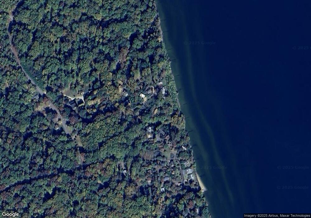
Map
Nearby Homes
- 1928 Elm Rd
- 1955 Parkers Creek Spur
- 1954 Rosemary Ln
- 2836 Allspice Rd
- 1525 Sharpes Ct
- 3325 First St
- 56 Goldstein Rd
- 50 Goldstein Rd
- 4551 Dares Beach Rd
- 3620 Pine Tree Rd
- 95 Dares Wharf Rd
- 2115 Western Shores Blvd
- 3005 Blackberry Ln
- 161 Chesapeake Ave
- 3160 Blackberry Ln
- 2355 Bunker Hill Ct
- 4105 Crest Dr
- 4410 Woodview Ln
- 4035 Saint Leonard Rd
- 2920 Dares Beach Rd