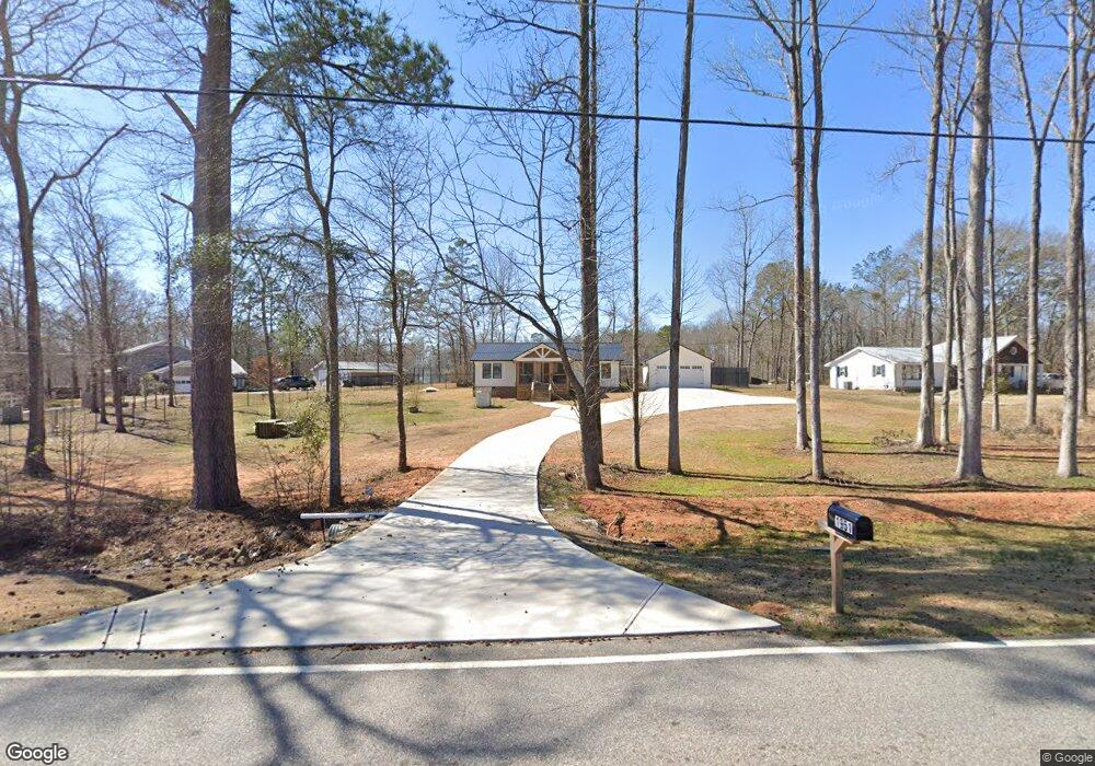
1951 Malcom Bridge Rd Bogart, GA 30622
Estimated Value: $278,000 - $364,000
2
Beds
2
Baths
1,080
Sq Ft
$299/Sq Ft
Est. Value
About This Home
This home is located at 1951 Malcom Bridge Rd, Bogart, GA 30622 and is currently estimated at $323,081, approximately $299 per square foot. 1951 Malcom Bridge Rd is a home located in Oconee County with nearby schools including Malcom Bridge Elementary School, Malcom Bridge Middle School, and North Oconee High School.
Ownership History
Date
Name
Owned For
Owner Type
Purchase Details
Closed on
Aug 3, 2020
Sold by
Pennino Lori
Bought by
Poling Terry and Poling Jon
Current Estimated Value
Purchase Details
Closed on
Aug 20, 2009
Sold by
Pennino Lori Ann
Bought by
Pennino Lori
Purchase Details
Closed on
Jun 16, 2006
Sold by
Not Provided
Bought by
Pennino Lori
Purchase Details
Closed on
Jan 10, 2006
Sold by
Not Provided
Bought by
Pennino Lori
Home Financials for this Owner
Home Financials are based on the most recent Mortgage that was taken out on this home.
Original Mortgage
$75,200
Interest Rate
6.21%
Mortgage Type
New Conventional
Purchase Details
Closed on
Jan 27, 2005
Sold by
Tolbert Jack W
Bought by
Tolbert Jack W and Tolbert Shirley Gumaer
Create a Home Valuation Report for This Property
The Home Valuation Report is an in-depth analysis detailing your home's value as well as a comparison with similar homes in the area
Home Values in the Area
Average Home Value in this Area
Purchase History
| Date | Buyer | Sale Price | Title Company |
|---|---|---|---|
| Poling Terry | $145,000 | -- | |
| Pennino Lori | -- | -- | |
| Pennino Lori | -- | -- | |
| Pennino Lori | $94,000 | -- | |
| Tolbert Jack W | -- | -- |
Source: Public Records
Mortgage History
| Date | Status | Borrower | Loan Amount |
|---|---|---|---|
| Previous Owner | Pennino Lori | $75,200 |
Source: Public Records
Tax History Compared to Growth
Tax History
| Year | Tax Paid | Tax Assessment Tax Assessment Total Assessment is a certain percentage of the fair market value that is determined by local assessors to be the total taxable value of land and additions on the property. | Land | Improvement |
|---|---|---|---|---|
| 2024 | $2,564 | $99,875 | $35,418 | $64,457 |
| 2023 | $1,866 | $66,349 | $29,515 | $36,834 |
| 2022 | $1,431 | $56,364 | $26,832 | $29,532 |
| 2021 | $1,300 | $56,150 | $21,128 | $35,022 |
| 2020 | $1,121 | $48,345 | $17,318 | $31,027 |
| 2019 | $1,090 | $46,996 | $17,318 | $29,678 |
| 2018 | $991 | $41,851 | $17,318 | $24,533 |
| 2017 | $923 | $38,963 | $16,493 | $22,470 |
| 2016 | $880 | $37,172 | $15,174 | $21,998 |
| 2015 | $870 | $36,634 | $15,174 | $21,460 |
| 2014 | $786 | $32,356 | $11,886 | $20,470 |
| 2013 | -- | $31,531 | $11,886 | $19,644 |
Source: Public Records
Map
Nearby Homes
- 2165 Harperfield Dr
- 1105 Harperfield Dr
- 1010 Long Creek Dr
- 1496 Malcom Estates Dr
- 1224 Malcom Estates Point Unit Lot 67
- 1479 Mcfall Ct
- 1071 Oaklake Cir
- 1895 Vintage Place
- 1491 Virgil Langford Rd
- 1021 Bedford Trail
- 1190 Wareview Ct
- 1336 Prince Place
- 1010 Oaklake Terrace
- 1381 Mayfair Way
- 3065 Brookhaven Dr
- 1100 Manjula Ln
- 1931 Malcom Bridge Rd
- 1981 Malcom Bridge Rd
- 2001 Malcom Bridge Rd
- 1728 Malcom Bridge Rd
- 2021 Malcom Bridge Rd
- 1741 Malcom Bridge Rd Unit LOT 43
- 1960 Malcom Bridge Rd
- 0 Malcom Bridge Rd Unit CM940815
- 00 5 Ac On Malcom Bridge Rd
- 00 5 Acres On Malcom Bridge Rd
- 0 Malcom Bridge Rd Unit CM932403
- 0 Malcom Bridge Rd Unit CM929468
- 0 Malcom Bridge Rd Unit 947672
- 0 Malcom Bridge Rd Unit 984959
- 0 Malcom Bridge Rd Unit 8459908
- 0 Malcom Bridge Rd Unit 7616950
- 0 Malcom Bridge Rd Unit 3186483
- 0 Malcom Bridge Rd Unit 7029732
- 0 Malcom Bridge Rd Unit 7025744
- 0 Malcom Bridge Rd Unit 9063068