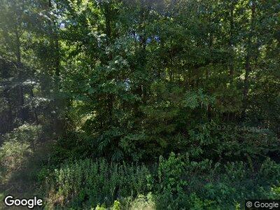
1951 N Main St Searcy, AR 72143
Estimated Value: $326,000 - $768,000
--
Bed
2
Baths
3,663
Sq Ft
$163/Sq Ft
Est. Value
About This Home
This home is located at 1951 N Main St, Searcy, AR 72143 and is currently estimated at $598,753, approximately $163 per square foot. 1951 N Main St is a home with nearby schools including McRae Elementary School, Southwest Middle School, and Ahlf Junior High School.
Ownership History
Date
Name
Owned For
Owner Type
Purchase Details
Closed on
Jun 26, 2007
Sold by
Simmons First Bank Of Searcy
Bought by
Delk Jack Y and Delk Monica S
Current Estimated Value
Home Financials for this Owner
Home Financials are based on the most recent Mortgage that was taken out on this home.
Original Mortgage
$300,000
Interest Rate
6.19%
Mortgage Type
New Conventional
Create a Home Valuation Report for This Property
The Home Valuation Report is an in-depth analysis detailing your home's value as well as a comparison with similar homes in the area
Home Values in the Area
Average Home Value in this Area
Purchase History
| Date | Buyer | Sale Price | Title Company |
|---|---|---|---|
| Delk Jack Y | $450,000 | None Available |
Source: Public Records
Mortgage History
| Date | Status | Borrower | Loan Amount |
|---|---|---|---|
| Open | Delk Jack Y | $323,700 | |
| Closed | Delk Jacky Y | $374,250 | |
| Closed | Delk Jack | $72,068 | |
| Closed | Delk Jack Y | $300,000 | |
| Previous Owner | Roberson Chris | $112,148 |
Source: Public Records
Tax History Compared to Growth
Tax History
| Year | Tax Paid | Tax Assessment Tax Assessment Total Assessment is a certain percentage of the fair market value that is determined by local assessors to be the total taxable value of land and additions on the property. | Land | Improvement |
|---|---|---|---|---|
| 2024 | $3,259 | $81,890 | $4,890 | $77,000 |
| 2023 | $2,836 | $81,890 | $4,890 | $77,000 |
| 2022 | $2,886 | $81,890 | $4,890 | $77,000 |
| 2021 | $2,886 | $81,890 | $4,890 | $77,000 |
| 2020 | $3,006 | $84,920 | $4,630 | $80,290 |
| 2019 | $3,006 | $84,920 | $4,630 | $80,290 |
| 2018 | $3,031 | $84,920 | $4,630 | $80,290 |
| 2017 | $3,380 | $84,920 | $4,630 | $80,290 |
| 2016 | $3,380 | $84,920 | $4,630 | $80,290 |
| 2015 | $3,132 | $78,700 | $3,260 | $75,440 |
| 2014 | $3,085 | $77,500 | $3,260 | $74,240 |
Source: Public Records
Map
Nearby Homes
- 125 Bluebird Glen
- 104 Nita Ln
- 127 Fieldcrest Dr
- 112 Ashley Place
- 293 Johnston Rd
- 106 Lelia Ln
- 128 Berry Ln
- 111 Christi St
- 104 Louis Dr
- 600 King St
- 601 King Ave
- 259 Riverview Rd
- 603 Eastwood Dr
- 1210 Headlee Heights Dr
- 1401 Headlee Dr
- 1304 Deener St
- 1004 Cedar St
- 903 Randall Dr
- 713 N Spring St
- 801 Randall Dr
- 1951 N Main St
- 107 Johnston Rd
- 0 Johnston Rd Unit 10321948
- 0 Johnston Rd Unit 10359066
- 0 Johnston Rd Unit 10368278
- 0 Johnston Rd Unit 10376327
- 0 Johnston Rd Unit 10401094
- 0 Johnston Rd Unit 15000348
- 0 Johnston Rd Unit 16025173
- 0 Johnston Rd Unit 17004225
- 0 Johnston Rd Unit 17022968
- 0 Johnston Rd Unit 17025403
- 0 Johnston Rd Unit 18001062
- 0 Johnston Rd Unit 19040047
- 0 Johnston Rd Unit 20021365
- 0 Johnston Rd Unit 21015809
- 0 Johnston Rd Unit 22015225
- 103 Johnston Rd
- 111 Johnston Rd
- 1962 N Main St
