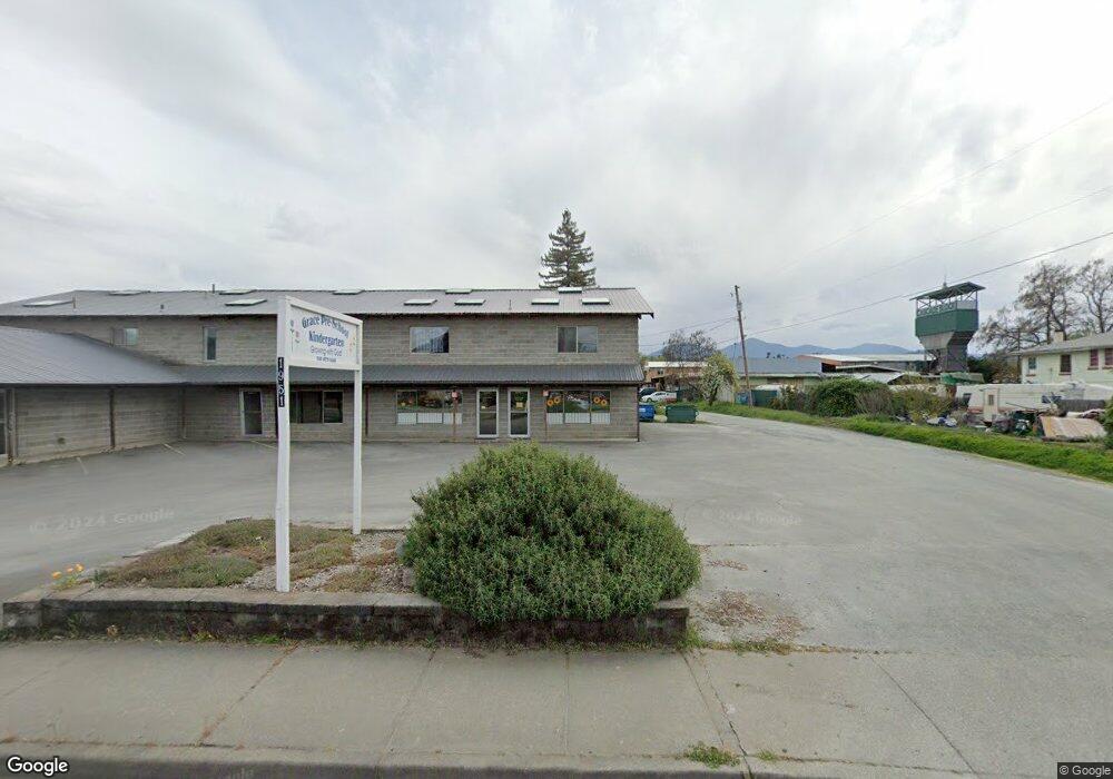
1951 Redwood Ave Unit A Grants Pass, OR 97527
Estimated Value: $1,301,938
--
Bed
4
Baths
9,500
Sq Ft
$137/Sq Ft
Est. Value
About This Home
This home is located at 1951 Redwood Ave Unit A, Grants Pass, OR 97527 and is currently estimated at $1,301,938, approximately $137 per square foot. 1951 Redwood Ave Unit A is a home located in Josephine County with nearby schools including Parkside Elementary School, South Middle School, and Grants Pass High School.
Ownership History
Date
Name
Owned For
Owner Type
Purchase Details
Closed on
May 8, 2025
Sold by
Black Beard Llc
Bought by
Prism Llc
Current Estimated Value
Home Financials for this Owner
Home Financials are based on the most recent Mortgage that was taken out on this home.
Original Mortgage
$917,000
Outstanding Balance
$907,716
Interest Rate
6.65%
Mortgage Type
Credit Line Revolving
Estimated Equity
$394,222
Purchase Details
Closed on
Apr 13, 2017
Sold by
Major Norma Jean and Norma Jean Major Trust
Bought by
Black Beard Llc
Home Financials for this Owner
Home Financials are based on the most recent Mortgage that was taken out on this home.
Original Mortgage
$430,000
Interest Rate
4.1%
Mortgage Type
Seller Take Back
Create a Home Valuation Report for This Property
The Home Valuation Report is an in-depth analysis detailing your home's value as well as a comparison with similar homes in the area
Home Values in the Area
Average Home Value in this Area
Purchase History
| Date | Buyer | Sale Price | Title Company |
|---|---|---|---|
| Prism Llc | $1,310,000 | Ticor Title | |
| Black Beard Llc | $535,000 | Ticor Title Company Of Or |
Source: Public Records
Mortgage History
| Date | Status | Borrower | Loan Amount |
|---|---|---|---|
| Open | Prism Llc | $917,000 | |
| Previous Owner | Black Beard Llc | $430,000 |
Source: Public Records
Tax History Compared to Growth
Tax History
| Year | Tax Paid | Tax Assessment Tax Assessment Total Assessment is a certain percentage of the fair market value that is determined by local assessors to be the total taxable value of land and additions on the property. | Land | Improvement |
|---|---|---|---|---|
| 2025 | $3,088 | $237,820 | -- | -- |
| 2024 | $3,088 | $230,900 | -- | -- |
| 2023 | $2,909 | $224,180 | $0 | $0 |
| 2022 | $2,923 | $217,660 | -- | -- |
| 2021 | $2,745 | $211,330 | $0 | $0 |
| 2020 | $2,666 | $205,180 | $0 | $0 |
| 2019 | $2,589 | $199,210 | $0 | $0 |
| 2018 | $2,635 | $193,410 | $0 | $0 |
| 2017 | $2,615 | $187,780 | $0 | $0 |
| 2016 | $2,025 | $162,160 | $0 | $0 |
| 2015 | $1,978 | $157,440 | $0 | $0 |
| 2014 | $1,924 | $152,860 | $0 | $0 |
Source: Public Records
Map
Nearby Homes
- 1471 Dowell Rd
- 2140 Nick Way
- 1336 Annabelle Ln
- 1484 SW Schutzwohl Ln
- 776 Delsie Dr
- 120 McDonald Ln
- 100 -120 McDonald Ln
- 1630 Medart Ln
- 1634 Medart Ln
- 1241 Dowell Rd Unit 28
- 1241 Dowell Rd Unit 62
- 1193 Moon Glo Dr
- 1700 Medart Ln
- 2344 Redwood Ave
- 2398 Sasha Ct
- 2372 Sequoia Ct
- 142 SW Jenn Way
- 2387 Mulberry Ct
- 1517 Molly Ln
- 1025 River Mist Ln
- 1951 Redwood Ave
- 1953 Redwood Ave
- 1989 Redwood Ave
- 1963 Redwood Ave
- 1980 Redwood Ave
- 1990 Redwood Ave
- 1970 Redwood Ave
- 1471 Cameo Ct
- 1461 Dowell Rd
- 1470 Annabelle Ln
- 1451 Dowell Rd
- 1467 Cameo Ct
- 1867 Redwood Ave Unit 8
- 1867 Redwood Ave Unit 5
- 1867 Redwood Ave
- 1867 Redwood Ave Unit 12
- 1867 Redwood Ave Unit 11,12
- 1475 Cameo Ct
- 2039 Redwood Ave
- 1459 Cameo Ct