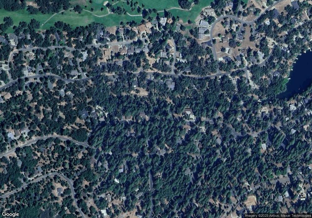
19512 Grizzly Cir Unit 381 Groveland, CA 95321
Estimated Value: $479,000 - $522,000
3
Beds
3
Baths
2,614
Sq Ft
$191/Sq Ft
Est. Value
About This Home
This home is located at 19512 Grizzly Cir Unit 381, Groveland, CA 95321 and is currently estimated at $498,151, approximately $190 per square foot. 19512 Grizzly Cir Unit 381 is a home located in Tuolumne County.
Ownership History
Date
Name
Owned For
Owner Type
Purchase Details
Closed on
Jun 17, 2020
Sold by
Scully Michael J and Scully Nancy A
Bought by
Milowe J Todd J and Milowe Helen Olive
Current Estimated Value
Home Financials for this Owner
Home Financials are based on the most recent Mortgage that was taken out on this home.
Original Mortgage
$267,200
Outstanding Balance
$236,852
Interest Rate
3.2%
Mortgage Type
New Conventional
Estimated Equity
$261,299
Purchase Details
Closed on
Jul 8, 2011
Sold by
Scully Michael J and Scully Nancy A
Bought by
Scully Michael J and Scully Nancy A
Home Financials for this Owner
Home Financials are based on the most recent Mortgage that was taken out on this home.
Original Mortgage
$200,000
Interest Rate
4.45%
Mortgage Type
New Conventional
Purchase Details
Closed on
Aug 12, 2008
Sold by
Pacholl Francis and Pacholl Linda Diane
Bought by
Scully Michael J and Scully Nancy A
Create a Home Valuation Report for This Property
The Home Valuation Report is an in-depth analysis detailing your home's value as well as a comparison with similar homes in the area
Home Values in the Area
Average Home Value in this Area
Purchase History
| Date | Buyer | Sale Price | Title Company |
|---|---|---|---|
| Milowe J Todd J | $334,000 | First American Title Company | |
| Scully Michael J | -- | North American Title Company | |
| Scully Michael J | $330,000 | Yosemite Title Company |
Source: Public Records
Mortgage History
| Date | Status | Borrower | Loan Amount |
|---|---|---|---|
| Open | Milowe J Todd J | $267,200 | |
| Previous Owner | Scully Michael J | $200,000 |
Source: Public Records
Tax History Compared to Growth
Tax History
| Year | Tax Paid | Tax Assessment Tax Assessment Total Assessment is a certain percentage of the fair market value that is determined by local assessors to be the total taxable value of land and additions on the property. | Land | Improvement |
|---|---|---|---|---|
| 2025 | $4,017 | $365,272 | $65,616 | $299,656 |
| 2024 | $4,017 | $358,111 | $64,330 | $293,781 |
| 2023 | $3,930 | $351,090 | $63,069 | $288,021 |
| 2022 | $3,855 | $344,207 | $61,833 | $282,374 |
| 2021 | $3,802 | $337,459 | $60,621 | $276,838 |
| 2020 | $4,338 | $388,564 | $82,420 | $306,144 |
| 2019 | $4,207 | $380,946 | $80,804 | $300,142 |
| 2018 | $4,111 | $373,477 | $79,220 | $294,257 |
| 2017 | $4,038 | $366,155 | $77,667 | $288,488 |
| 2016 | $3,940 | $358,977 | $76,145 | $282,832 |
| 2015 | $3,889 | $353,586 | $75,002 | $278,584 |
| 2014 | $3,801 | $346,660 | $73,533 | $273,127 |
Source: Public Records
Map
Nearby Homes
- 19513 Grizzly Cir
- 19555 Butler Way
- 19501 Chaffee Cir
- 19440 Chaffee Cir
- 19574 Butler Way
- 19380 Pleasantview Dr
- 12295 Sunnyside Way
- 19400 Reid Cir
- 19553 Elder Ln
- 1-244 Pleasantview Dr
- 19545 Pleasantview Dr
- 19709 Pine Mountain Dr
- 20059 Pleasantview Dr
- 19710 Butler Way
- 19779 Pine Mountain Dr
- 19220 Pleasantview Dr
- 19620 Golden Rock Cir
- 12064 Hillhurst Cir
- 19512 Grizzly Cir
- 19520 Grizzly Cir
- 19590 Pine Mountain Dr
- 19508 Grizzly Cir
- 19502 Grizzly Cir
- 19523 Grizzly Cir
- 19505 Pleasantview Dr
- 19519 Pleasantview Dr
- 19495 Pleasantview Dr Unit 1 / Lot 316
- 19495 Pleasantview Dr
- 19499 Pleasantview Dr Unit 1/315
- 19499 Pleasantview Dr
- 19533 Grizzly Cir
- 19538 Grizzly Circle 1-386 Unit 1-386
- 19525 Pleasantview Dr
- 19485 Pleasantview Dr
- 19535 Pleasantview Dr
- 19538 Grizzly Cir
- 19482 Grizzly Cir Unit 377
- 19482 Grizzly Cir
