1952 E Pointe Ave Carlsbad, CA 92008
Olde Carlsbad NeighborhoodEstimated Value: $1,029,780 - $1,382,000
3
Beds
2
Baths
1,442
Sq Ft
$851/Sq Ft
Est. Value
About This Home
This home is located at 1952 E Pointe Ave, Carlsbad, CA 92008 and is currently estimated at $1,226,945, approximately $850 per square foot. 1952 E Pointe Ave is a home located in San Diego County with nearby schools including Magnolia Elementary, Carlsbad High School, and Sage Creek High.
Ownership History
Date
Name
Owned For
Owner Type
Purchase Details
Closed on
Aug 15, 2018
Sold by
Martin Kathy L
Bought by
Martin Kathy L and The Kathy L Martin Living Trus
Current Estimated Value
Purchase Details
Closed on
Jul 16, 2018
Sold by
Martin Michael G and Martin Kathy L
Bought by
Martin Kathy L
Purchase Details
Closed on
Jun 15, 2005
Sold by
Martin Michael G and Martin Kathy L
Bought by
Martin Michael G and Martin Kathy L
Purchase Details
Closed on
Aug 23, 1985
Create a Home Valuation Report for This Property
The Home Valuation Report is an in-depth analysis detailing your home's value as well as a comparison with similar homes in the area
Home Values in the Area
Average Home Value in this Area
Purchase History
| Date | Buyer | Sale Price | Title Company |
|---|---|---|---|
| Martin Kathy L | -- | None Available | |
| Martin Kathy L | -- | None Available | |
| Martin Michael G | -- | -- | |
| -- | $118,900 | -- |
Source: Public Records
Tax History
| Year | Tax Paid | Tax Assessment Tax Assessment Total Assessment is a certain percentage of the fair market value that is determined by local assessors to be the total taxable value of land and additions on the property. | Land | Improvement |
|---|---|---|---|---|
| 2025 | $2,461 | $236,739 | $79,633 | $157,106 |
| 2024 | $2,461 | $232,098 | $78,072 | $154,026 |
| 2023 | $2,446 | $227,548 | $76,542 | $151,006 |
| 2022 | $2,407 | $223,088 | $75,042 | $148,046 |
| 2021 | $2,388 | $218,715 | $73,571 | $145,144 |
| 2020 | $2,448 | $216,473 | $72,817 | $143,656 |
| 2019 | $2,328 | $212,230 | $71,390 | $140,840 |
| 2018 | $2,230 | $208,070 | $69,991 | $138,079 |
| 2017 | $2,192 | $203,991 | $68,619 | $135,372 |
| 2016 | $2,102 | $199,992 | $67,274 | $132,718 |
| 2015 | $2,093 | $196,989 | $66,264 | $130,725 |
| 2014 | $2,058 | $193,131 | $64,966 | $128,165 |
Source: Public Records
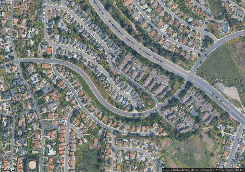
Map
Nearby Homes
- 4640 Coralwood Cir
- 4669 Coralwood Cir
- 4623 Telescope Ave
- 3780 82 Highland Dr
- 157 & 157 1/2 Maple Ave
- 0 Sunny Creek Unit PI25230627
- 4809 Kelly Dr
- 3920 Holly Brae Ln
- 4818 Refugio Ave
- 2523 Delphinium Ln
- 2531 Delphinium Ln
- 4822 Nelson Ct
- 2541 Delphinium Ln
- 2559 Delphinium Ln
- 4806 Parsley Ln
- 4843 Nelson Ct
- 0 Park Dr
- 4600 Catmint Ln
- 2500 Thyme Way
- 2536 Elderberry Ln
- 1960 E Pointe Ave
- 1946 E Pointe Ave
- E E Pointe
- 1968 E Pointe Ave
- 1938 E Pointe Ave
- 1976 E Pointe Ave
- 4635 Driftwood Cir
- 1961 E Pointe Ave
- 1969 E Pointe Ave
- 1953 E Pointe Ave
- 1977 E Pointe Ave
- 4603 Driftwood Cir
- 1982 E Pointe Ave
- 4634 Driftwood Cir
- 4633 Driftwood Cir
- 1945 E Pointe Ave
- 1985 E Pointe Ave
- 4605 Driftwood Cir
- 4632 Driftwood Cir
- 1937 E Pointe Ave
Your Personal Tour Guide
Ask me questions while you tour the home.