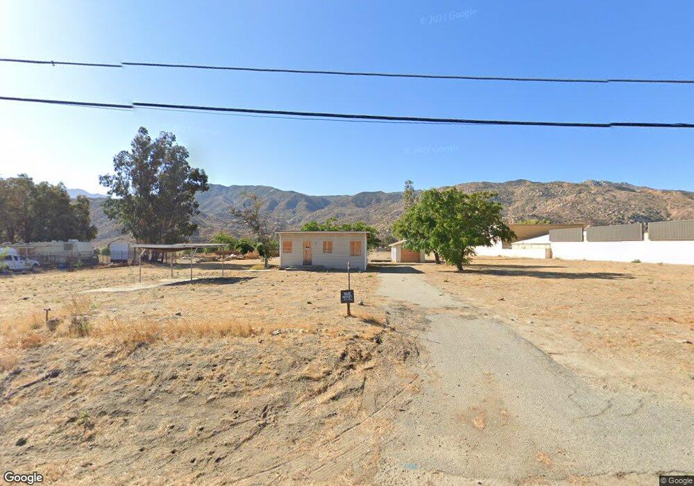
1952 E Westward Ave Banning, CA 92220
Estimated Value: $327,000 - $564,308
1
Bed
2
Baths
663
Sq Ft
$618/Sq Ft
Est. Value
About This Home
This home is located at 1952 E Westward Ave, Banning, CA 92220 and is currently estimated at $409,827, approximately $618 per square foot. 1952 E Westward Ave is a home located in Riverside County with nearby schools including Banning High School.
Ownership History
Date
Name
Owned For
Owner Type
Purchase Details
Closed on
Feb 3, 2025
Sold by
Weeks Investment Group Llc
Bought by
Redr Properties Llc
Current Estimated Value
Home Financials for this Owner
Home Financials are based on the most recent Mortgage that was taken out on this home.
Original Mortgage
$1,800,000
Outstanding Balance
$1,789,304
Interest Rate
6.91%
Mortgage Type
Seller Take Back
Estimated Equity
-$1,379,477
Purchase Details
Closed on
Jun 28, 2024
Sold by
1St American Title Insurance C
Bought by
Weeks Investment Group Llc
Purchase Details
Closed on
Sep 20, 2022
Sold by
Mjolnir Group
Bought by
Jo Mark Hammer
Purchase Details
Closed on
Nov 18, 2021
Sold by
Jo Mark Hammer
Bought by
Mjolnir Group
Purchase Details
Closed on
Feb 23, 2021
Sold by
Weeks Investment Group Llc
Bought by
Jo Mark Hammer
Home Financials for this Owner
Home Financials are based on the most recent Mortgage that was taken out on this home.
Original Mortgage
$536,000
Interest Rate
2.7%
Mortgage Type
Commercial
Purchase Details
Closed on
Jun 28, 2016
Sold by
Tucker David Eugene
Bought by
Tucker Diana L
Purchase Details
Closed on
Jun 5, 2016
Sold by
Tucker Diana L and Henkoski Beverly
Bought by
Weeks Group Investment Llc
Purchase Details
Closed on
Sep 7, 2012
Sold by
Tucker Diana L
Bought by
Andersen Andy B and Andersen Rebekah E
Purchase Details
Closed on
Jul 6, 2012
Sold by
Tucker Diana L
Bought by
Tucker Diana L
Home Financials for this Owner
Home Financials are based on the most recent Mortgage that was taken out on this home.
Original Mortgage
$13,005
Interest Rate
3.49%
Mortgage Type
New Conventional
Purchase Details
Closed on
Jul 16, 2009
Sold by
Johnson Lorene
Bought by
Johnson Lorene
Purchase Details
Closed on
May 20, 2008
Sold by
Tucker David E
Bought by
Tucker Diana L
Purchase Details
Closed on
Mar 13, 2007
Sold by
Johnson Lorene
Bought by
Johnson Lorene
Create a Home Valuation Report for This Property
The Home Valuation Report is an in-depth analysis detailing your home's value as well as a comparison with similar homes in the area
Home Values in the Area
Average Home Value in this Area
Purchase History
| Date | Buyer | Sale Price | Title Company |
|---|---|---|---|
| Redr Properties Llc | $2,100,000 | First American Title Insurance | |
| Weeks Investment Group Llc | -- | First American Title | |
| Jo Mark Hammer | -- | Lawyers Title | |
| Mjolnir Group | -- | Chicago Title | |
| Jo Mark Hammer | $670,000 | First American Title Company | |
| Tucker Diana L | -- | Lawyers Title Company | |
| Weeks Group Investment Llc | $125,000 | Lawyers Title Company | |
| Andersen Andy B | $75,000 | Chicago Title Inland Empire | |
| Tucker Diana L | -- | None Available | |
| Johnson Lorene | -- | None Available | |
| Tucker Diana L | -- | None Available | |
| Johnson Lorene | -- | None Available | |
| Johnson Lorene | -- | None Available |
Source: Public Records
Mortgage History
| Date | Status | Borrower | Loan Amount |
|---|---|---|---|
| Open | Redr Properties Llc | $1,800,000 | |
| Previous Owner | Jo Mark Hammer | $536,000 | |
| Previous Owner | Tucker Diana L | $13,005 |
Source: Public Records
Tax History Compared to Growth
Tax History
| Year | Tax Paid | Tax Assessment Tax Assessment Total Assessment is a certain percentage of the fair market value that is determined by local assessors to be the total taxable value of land and additions on the property. | Land | Improvement |
|---|---|---|---|---|
| 2025 | $8,884 | $466,930 | $453,135 | $13,795 |
| 2023 | $8,884 | $630,000 | $550,000 | $80,000 |
| 2022 | $6,210 | $440,000 | $427,000 | $13,000 |
| 2021 | $1,577 | $108,290 | $53,609 | $54,681 |
| 2020 | $1,562 | $107,181 | $53,060 | $54,121 |
| 2019 | $1,538 | $105,080 | $52,020 | $53,060 |
| 2018 | $1,528 | $103,020 | $51,000 | $52,020 |
| 2017 | $1,502 | $101,000 | $50,000 | $51,000 |
| 2016 | $1,347 | $93,070 | $48,700 | $44,370 |
| 2015 | $1,328 | $91,673 | $47,969 | $43,704 |
| 2014 | $1,320 | $89,879 | $47,030 | $42,849 |
Source: Public Records
Map
Nearby Homes
- 0 E Westward Ave
- 1496 Bryan St
- 1454 Bryan St
- 736 Porter St
- 1396 Ramsey
- 68 Val Monte St
- 943 Wesley St
- 245 N Evans St
- 1510 E Nicolet St
- 708 Wesley St
- 0 Hargrave St Unit IV25113071
- 0 Hargrave St Unit TR24179086
- 1010 E Nicolet St
- 0 E Williams St
- 0 Porter St
- 1469 E George St
- 732 N Allen St
- 378 N Hargrave St
- 917 E Nicolet St Unit 157
- 6201 Mias Canyon
- 1990 E Westward Ave
- 1862 E Westward Ave
- 1862 E Westward Ave
- 1991 Charles St
- 1936 Charles St
- 1974 Charles St
- 1916 Charles St
- 1990 Charles St
- 1750 E Westward Ave
- 1892 Charles St
- 700 S Hathaway St
- 1824 Charles St
- 820 S Hathaway St
- 896 S Hathaway St
- 960 S Hathaway St
- 1581 Charles St
- 0 N Hathaway St Unit EV15196709
- 0 N Hathaway St Unit EV19269826
- 1550 Charles St
- 1536 Charles St