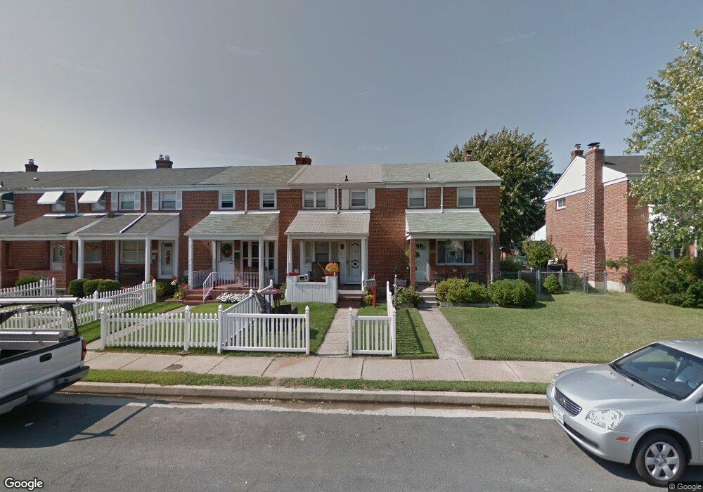
1952 Holborn Rd Dundalk, MD 21222
Estimated Value: $165,818 - $221,000
--
Bed
2
Baths
1,008
Sq Ft
$191/Sq Ft
Est. Value
About This Home
This home is located at 1952 Holborn Rd, Dundalk, MD 21222 and is currently estimated at $192,455, approximately $190 per square foot. 1952 Holborn Rd is a home located in Baltimore County with nearby schools including Grange Elementary School, General John Stricker Middle School, and Patapsco High & Center for Arts.
Ownership History
Date
Name
Owned For
Owner Type
Purchase Details
Closed on
Sep 20, 2019
Sold by
Salling Henry L
Bought by
Salling Henry L and Salling Kelly M
Current Estimated Value
Purchase Details
Closed on
Feb 5, 1999
Sold by
Alderman Joseph G
Bought by
Secretary Of Housing & Urban Dev
Purchase Details
Closed on
Dec 15, 1994
Sold by
Marucci Vera D
Bought by
Alderman Joseph G
Home Financials for this Owner
Home Financials are based on the most recent Mortgage that was taken out on this home.
Original Mortgage
$76,650
Interest Rate
9.03%
Create a Home Valuation Report for This Property
The Home Valuation Report is an in-depth analysis detailing your home's value as well as a comparison with similar homes in the area
Home Values in the Area
Average Home Value in this Area
Purchase History
| Date | Buyer | Sale Price | Title Company |
|---|---|---|---|
| Salling Henry L | -- | None Available | |
| Secretary Of Housing & Urban Dev | $82,000 | -- | |
| Salling Henry L | $75,000 | -- | |
| Alderman Joseph G | $80,000 | -- |
Source: Public Records
Mortgage History
| Date | Status | Borrower | Loan Amount |
|---|---|---|---|
| Previous Owner | Alderman Joseph G | $76,650 |
Source: Public Records
Tax History Compared to Growth
Tax History
| Year | Tax Paid | Tax Assessment Tax Assessment Total Assessment is a certain percentage of the fair market value that is determined by local assessors to be the total taxable value of land and additions on the property. | Land | Improvement |
|---|---|---|---|---|
| 2025 | $2,256 | $144,067 | -- | -- |
| 2024 | $2,256 | $134,233 | $0 | $0 |
| 2023 | $1,076 | $124,400 | $36,000 | $88,400 |
| 2022 | $1,922 | $122,833 | $0 | $0 |
| 2021 | $2,405 | $121,267 | $0 | $0 |
| 2020 | $2,405 | $119,700 | $36,000 | $83,700 |
| 2019 | $2,170 | $116,800 | $0 | $0 |
| 2018 | $2,035 | $113,900 | $0 | $0 |
| 2017 | $1,887 | $111,000 | $0 | $0 |
| 2016 | $1,862 | $111,000 | $0 | $0 |
| 2015 | $1,862 | $111,000 | $0 | $0 |
| 2014 | $1,862 | $128,600 | $0 | $0 |
Source: Public Records
Map
Nearby Homes
- 1940 Wareham Rd
- 1935 Stanhope Rd
- 2743 Kirkleigh Rd
- 2746 Moorgate Rd
- 2738 Moorgate Rd
- 7252 Meadow Ln
- 7807 Rockbourne Rd
- 1940H Robinwood Rd
- 1894 Church Rd
- 9 Vista Mobile Dr
- 7839 Harold Rd
- 2953 Yorkway
- 2970 Yorkway
- 1914 Armco Way
- 1907 Wills Rd
- 3135 Sollers Point Rd
- 7518 Lawrence Rd
- 98 Kentway
- 2007 Dineen Dr
- 1943 Dineen Dr
- 1954 Holborn Rd
- 1950 Holborn Rd
- 1956 Holborn Rd
- 1958 Holborn Rd
- 1948 Holborn Rd
- 1960 Holborn Rd
- 1946 Holborn Rd
- 1962 Holborn Rd
- 1942 Holborn Rd
- 1953 Ormand Rd
- 1955 Ormand Rd
- 1951 Ormand Rd
- 1957 Ormand Rd
- 1959 Ormand Rd
- 1940 Holborn Rd
- 1949 Ormand Rd
- 1961 Ormand Rd
- 1947 Ormand Rd
- 1938 Holborn Rd
- 1963 Ormand Rd