Estimated Value: $434,000 - $733,844
Studio
2
Baths
1,743
Sq Ft
$332/Sq Ft
Est. Value
About This Home
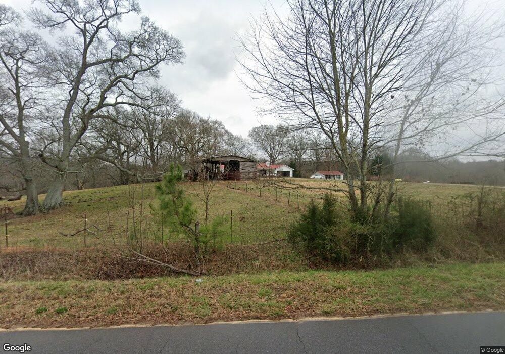
This home is located at 1953 Brickyard Rd, Comer, GA 30629 and is currently estimated at $579,461, approximately $332 per square foot. 1953 Brickyard Rd is a home located in Madison County with nearby schools including Madison County High School.
Ownership History
Date
Name
Owned For
Owner Type
Purchase Details
Closed on
Jan 7, 2025
Sold by
Garris Michael P
Bought by
Garris Deborah K and Garris Michael P
Current Estimated Value
Purchase Details
Closed on
Nov 16, 2001
Sold by
Carroll David B and Carroll Do
Bought by
Garris Michael P
Purchase Details
Closed on
Sep 1, 1998
Sold by
Hall George A
Bought by
Carroll David B and Carroll Do
Purchase Details
Closed on
Jan 1, 1991
Bought by
Hall George A
Create a Home Valuation Report for This Property
The Home Valuation Report is an in-depth analysis detailing your home's value as well as a comparison with similar homes in the area
Purchase History
| Date | Buyer | Sale Price | Title Company |
|---|---|---|---|
| Garris Deborah K | -- | -- | |
| Garris Michael P | $205,000 | -- | |
| Carroll David B | $265,000 | -- | |
| Hall George A | $75,000 | -- |
Source: Public Records
Tax History
| Year | Tax Paid | Tax Assessment Tax Assessment Total Assessment is a certain percentage of the fair market value that is determined by local assessors to be the total taxable value of land and additions on the property. | Land | Improvement |
|---|---|---|---|---|
| 2025 | $3,392 | $242,736 | $119,486 | $123,250 |
| 2024 | $3,380 | $239,318 | $119,486 | $119,832 |
| 2023 | $6,492 | $212,675 | $99,571 | $113,104 |
| 2022 | $2,334 | $170,131 | $68,455 | $101,676 |
| 2021 | $1,354 | $121,752 | $68,455 | $53,297 |
| 2020 | $1,847 | $111,795 | $58,498 | $53,297 |
| 2019 | $1,830 | $110,773 | $58,498 | $52,275 |
| 2018 | $1,806 | $105,126 | $53,520 | $51,606 |
| 2017 | $2,861 | $99,350 | $49,786 | $49,564 |
| 2016 | $1,422 | $93,462 | $49,786 | $43,676 |
| 2015 | $1,416 | $93,462 | $49,786 | $43,676 |
| 2014 | $1,437 | $89,122 | $44,807 | $44,315 |
| 2013 | -- | $89,122 | $44,807 | $44,315 |
Source: Public Records
Map
Nearby Homes
- 919 Arnold Bottoms Rd
- 116 Scarlett Oak Ln
- 52 Willow Oak Cir
- 130 Live Oak Ln
- 199 Brickyard Rd
- 0 Lowe Rd Unit 10614126
- 0 McCarty Dodd Rd Unit 10646393
- 0 McCarty Dodd Rd Unit CL344009
- 760 Fortson Compton Rd
- 640 Gholston St
- 12 Laurel Ave
- 579 McCarty Dodd Rd
- 77 Laurel Ave
- 125 Laurel Ave
- 48 E Georgia Ave
- 2633 Paoli St Unit TRACT 1
- 2665 Paoli St Unit TRACT 3
- 10 Shannons Ln
- 120 Harold's Way
- 540 Sunset Ave
- 1953 Brickyard Rd
- 1966 Brickyard Rd
- 1467 Brickyard Rd
- 2095 Brickyard Rd
- 1820 Brickyard Rd
- 1820 Brickyard Rd
- 2096 Brickyard Rd
- 1468 Brickyard Rd
- 2188 Brickyard Rd
- 2228 Brickyard Rd
- 2191 Brickyard Rd
- 70 Brickyard Road Extension
- 2066 Georgia 72
- 2209 Brickyard Rd
- 1417 Brickyard Rd
- 172 Brickyard Road Extension
- 172 Brickyard Road Extension
- 172 Brickyard Rd
- 0.638 ac Hwy 72
- .638acre Hwy 72
Your Personal Tour Guide
Ask me questions while you tour the home.