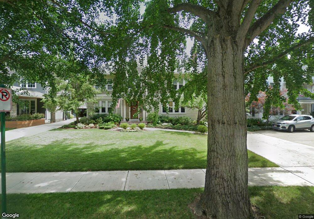
1953 Concord Rd Columbus, OH 43212
Estimated Value: $824,000 - $1,177,735
5
Beds
3
Baths
2,943
Sq Ft
$365/Sq Ft
Est. Value
About This Home
This home is located at 1953 Concord Rd, Columbus, OH 43212 and is currently estimated at $1,074,934, approximately $365 per square foot. 1953 Concord Rd is a home located in Franklin County with nearby schools including Barrington Road Elementary School, Jones Middle School, and Upper Arlington High School.
Ownership History
Date
Name
Owned For
Owner Type
Purchase Details
Closed on
Sep 2, 1986
Bought by
Harrison Mark W
Current Estimated Value
Purchase Details
Closed on
Mar 1, 1986
Create a Home Valuation Report for This Property
The Home Valuation Report is an in-depth analysis detailing your home's value as well as a comparison with similar homes in the area
Home Values in the Area
Average Home Value in this Area
Purchase History
| Date | Buyer | Sale Price | Title Company |
|---|---|---|---|
| Harrison Mark W | $148,000 | -- | |
| -- | -- | -- |
Source: Public Records
Tax History Compared to Growth
Tax History
| Year | Tax Paid | Tax Assessment Tax Assessment Total Assessment is a certain percentage of the fair market value that is determined by local assessors to be the total taxable value of land and additions on the property. | Land | Improvement |
|---|---|---|---|---|
| 2024 | $16,465 | $284,410 | $120,120 | $164,290 |
| 2023 | $16,261 | $284,410 | $120,120 | $164,290 |
| 2022 | $12,955 | $185,400 | $65,520 | $119,880 |
| 2021 | $11,468 | $185,400 | $65,520 | $119,880 |
| 2020 | $11,367 | $185,400 | $65,520 | $119,880 |
| 2019 | $11,356 | $163,770 | $65,520 | $98,250 |
| 2018 | $11,239 | $163,770 | $65,520 | $98,250 |
| 2017 | $11,233 | $163,770 | $65,520 | $98,250 |
| 2016 | $11,197 | $169,340 | $61,220 | $108,120 |
| 2015 | $11,187 | $169,340 | $61,220 | $108,120 |
| 2014 | $11,199 | $169,340 | $61,220 | $108,120 |
| 2013 | $5,347 | $153,930 | $55,650 | $98,280 |
Source: Public Records
Map
Nearby Homes
- 2015 W 5th Ave Unit 211
- 2015 W 5th Ave Unit 102
- 2015 W 5th Ave Unit 108
- 1631 Roxbury Rd Unit F3
- 1631 Roxbury Rd Unit B6
- 1561 Glenn Ave
- 1782 Wyandotte Rd
- 1733 Elmwood Ave
- 1459 Elmwood Ave Unit 1459
- 1661 Ashland Ave Unit 663
- 1313 Lincoln Rd
- 1301 Lake Shore Dr Unit 199
- 2110 Northwest Blvd
- 1398 Lower Green Cir Unit 1398
- 1475 W 3rd Ave Unit 204
- 1364 W 7th Ave
- 2700 Mc Kinley Ave
- 1214 Lake Shore Dr Unit C
- 00 W 7th Ave
- 1869 Tewksbury Rd
- 1945 Concord Rd
- 1937 Concord Rd
- 1960 W 5th Ave
- 1952 W 5th Ave
- 1966 W 5th Ave
- 1971 Concord Rd
- 1650 Arlington Ave
- 1931 Concord Rd
- 1640 Arlington Ave
- 1952 Concord Rd
- 1946 Concord Rd
- 1960 Concord Rd
- 1938 Concord Rd
- 1680 Arlington Ave
- 1925 Concord Rd
- 1930 Concord Rd
- 1932 W 5th Ave
- 1690 Arlington Ave
- 1955 W 5th Ave Unit 200
- 1645 Cambridge Blvd