1953 E Pointe Ave Carlsbad, CA 92008
Olde Carlsbad NeighborhoodEstimated Value: $979,655 - $1,334,000
3
Beds
2
Baths
1,165
Sq Ft
$1,028/Sq Ft
Est. Value
About This Home
This home is located at 1953 E Pointe Ave, Carlsbad, CA 92008 and is currently estimated at $1,197,414, approximately $1,027 per square foot. 1953 E Pointe Ave is a home located in San Diego County with nearby schools including Magnolia Elementary, Carlsbad High School, and Sage Creek High.
Ownership History
Date
Name
Owned For
Owner Type
Purchase Details
Closed on
Oct 19, 2023
Sold by
Armstrong Daniel J and Armstrong Beverly H
Bought by
Armstrong Family Trust and Armstrong
Current Estimated Value
Purchase Details
Closed on
May 31, 1985
Create a Home Valuation Report for This Property
The Home Valuation Report is an in-depth analysis detailing your home's value as well as a comparison with similar homes in the area
Home Values in the Area
Average Home Value in this Area
Purchase History
| Date | Buyer | Sale Price | Title Company |
|---|---|---|---|
| Armstrong Family Trust | -- | None Listed On Document | |
| -- | $101,000 | -- |
Source: Public Records
Tax History
| Year | Tax Paid | Tax Assessment Tax Assessment Total Assessment is a certain percentage of the fair market value that is determined by local assessors to be the total taxable value of land and additions on the property. | Land | Improvement |
|---|---|---|---|---|
| 2025 | $2,131 | $205,109 | $71,069 | $134,040 |
| 2024 | $2,131 | $201,088 | $69,676 | $131,412 |
| 2023 | $2,118 | $197,146 | $68,310 | $128,836 |
| 2022 | $2,084 | $193,281 | $66,971 | $126,310 |
| 2021 | $2,067 | $189,492 | $65,658 | $123,834 |
| 2020 | $2,053 | $187,550 | $64,985 | $122,565 |
| 2019 | $2,015 | $183,873 | $63,711 | $120,162 |
| 2018 | $1,931 | $180,268 | $62,462 | $117,806 |
| 2017 | $1,897 | $176,735 | $61,238 | $115,497 |
| 2016 | $1,820 | $173,271 | $60,038 | $113,233 |
| 2015 | $1,812 | $170,670 | $59,137 | $111,533 |
| 2014 | $1,782 | $167,328 | $57,979 | $109,349 |
Source: Public Records
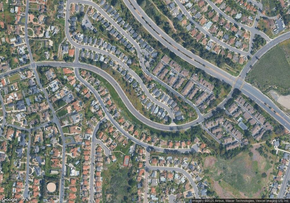
Map
Nearby Homes
- 4640 Coralwood Cir
- 4669 Coralwood Cir
- 4623 Telescope Ave
- 3780 82 Highland Dr
- 157 & 157 1/2 Maple Ave
- 0 Sunny Creek Unit PI25230627
- 4809 Kelly Dr
- 4818 Refugio Ave
- 3920 Holly Brae Ln
- 2523 Delphinium Ln
- 2531 Delphinium Ln
- 2541 Delphinium Ln
- 2559 Delphinium Ln
- 1733 Schooner Way Unit 1
- 0 Park Dr
- 4822 Nelson Ct
- 4505 Coastline Ave
- 4806 Parsley Ln
- 1860 Valencia Ave
- 1741 Bruce Rd
- 1961 E Pointe Ave
- 1945 E Pointe Ave
- 1969 E Pointe Ave
- 1937 E Pointe Ave
- 1977 E Pointe Ave
- 1929 E Pointe Ave
- 1946 E Pointe Ave
- 1952 E Pointe Ave
- 1938 E Pointe Ave
- 1985 E Pointe Ave
- 1960 E Pointe Ave
- 1921 E Pointe Ave
- 1993 E Pointe Ave
- 1968 E Pointe Ave
- E E Pointe
- 1913 E Pointe Ave
- 1882 High Ridge Ave
- 1976 E Pointe Ave
- 1876 High Ridge Ave
- 1884 High Ridge Ave
Your Personal Tour Guide
Ask me questions while you tour the home.