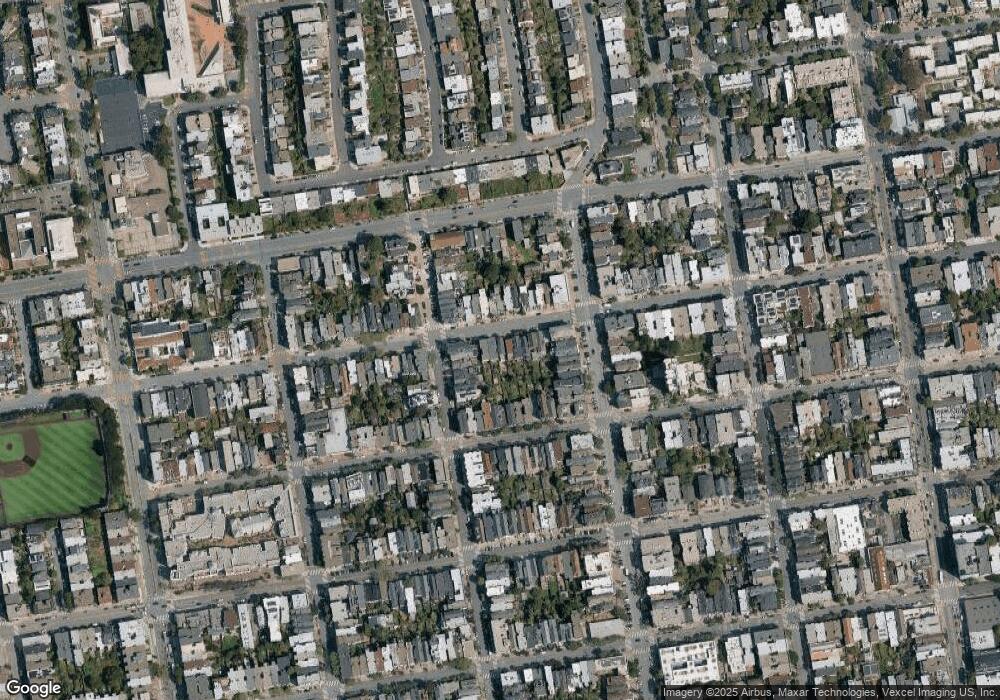
1953 Golden Gate Ave San Francisco, CA 94115
North of the Panhandle NeighborhoodEstimated Value: $824,000 - $1,462,000
2
Beds
1
Bath
1,054
Sq Ft
$1,063/Sq Ft
Est. Value
About This Home
This home is located at 1953 Golden Gate Ave, San Francisco, CA 94115 and is currently estimated at $1,120,380, approximately $1,062 per square foot. 1953 Golden Gate Ave is a home located in San Francisco County with nearby schools including New Traditions Elementary School, Roosevelt Middle School, and Creative Arts Charter School.
Ownership History
Date
Name
Owned For
Owner Type
Purchase Details
Closed on
Jan 22, 2009
Sold by
Lowe Frederick T
Bought by
Deitz Andrew and Deitz Stephanie
Current Estimated Value
Home Financials for this Owner
Home Financials are based on the most recent Mortgage that was taken out on this home.
Original Mortgage
$400,000
Interest Rate
5.14%
Mortgage Type
New Conventional
Create a Home Valuation Report for This Property
The Home Valuation Report is an in-depth analysis detailing your home's value as well as a comparison with similar homes in the area
Home Values in the Area
Average Home Value in this Area
Purchase History
| Date | Buyer | Sale Price | Title Company |
|---|---|---|---|
| Deitz Andrew | -- | Chicago Title Company |
Source: Public Records
Mortgage History
| Date | Status | Borrower | Loan Amount |
|---|---|---|---|
| Closed | Deitz Andrew | $400,000 |
Source: Public Records
Tax History Compared to Growth
Tax History
| Year | Tax Paid | Tax Assessment Tax Assessment Total Assessment is a certain percentage of the fair market value that is determined by local assessors to be the total taxable value of land and additions on the property. | Land | Improvement |
|---|---|---|---|---|
| 2025 | $8,234 | $648,276 | $370,260 | $278,016 |
| 2024 | $8,234 | $635,565 | $363,000 | $272,565 |
| 2023 | $8,104 | $623,103 | $355,882 | $267,221 |
| 2022 | $7,939 | $610,885 | $348,904 | $261,981 |
| 2021 | $7,796 | $598,907 | $342,063 | $256,844 |
| 2020 | $7,894 | $592,766 | $338,556 | $254,210 |
| 2019 | $7,579 | $581,143 | $331,918 | $249,225 |
| 2018 | $7,325 | $569,748 | $325,410 | $244,338 |
| 2017 | $6,940 | $558,576 | $319,029 | $239,547 |
| 2016 | $6,810 | $547,624 | $312,774 | $234,850 |
| 2015 | $6,724 | $539,398 | $308,076 | $231,322 |
| 2014 | $6,548 | $528,832 | $302,041 | $226,791 |
Source: Public Records
Map
Nearby Homes
- 726 Lyon St
- 815 Lyon St Unit A
- 560 Lyon St
- 856 Baker St
- 525 Baker St Unit 525
- 2001 Mcallister St Unit 120
- 558 Central Ave
- 617 Broderick St Unit B
- 613 Broderick St
- 535 Broderick St
- 1451-1453 Hayes St
- 1909 Eddy St Unit 3
- 48 Terra Vista Ave Unit B
- 1858 Grove St Unit 1860
- 1947 Fulton St
- 1828 Eddy St Unit 101
- 1945-1947 Fulton St
- 1945 Fulton St
- 2000 Ellis St Unit 201
- 350 Broderick St Unit 214
- 1951 Golden Gate Ave
- 1937 Golden Gate Ave
- 1949 Golden Gate Ave
- 1947 Golden Gate Ave
- 1957 Golden Gate Ave Unit 1959
- 1963 Golden Gate Ave Unit 1965
- 1931 Golden Gate Ave
- 1927 Golden Gate Ave
- 1950 Golden Gate Ave
- 1918 Golden Gate Ave
- 1916 Golden Gate Ave
- 1985 Golden Gate Ave
- 790 Lyon St
- 758 Lyon St
- 750 Lyon St
- 1920 Golden Gate Ave
- 1910 Golden Gate Ave
- 751 Baker St
- 1922 Golden Gate Ave Unit 1924
- 749 Baker St Unit 1
