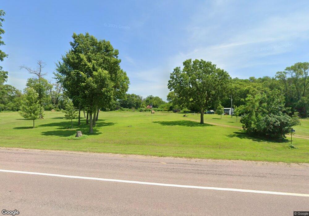
1953 N 1st St Elysian, MN 56028
Estimated Value: $198,000 - $350,000
4
Beds
1
Bath
1,224
Sq Ft
$214/Sq Ft
Est. Value
About This Home
This home is located at 1953 N 1st St, Elysian, MN 56028 and is currently estimated at $261,723, approximately $213 per square foot. 1953 N 1st St is a home located in Le Sueur County with nearby schools including Waterville Elementary School, Morristown Elementary School, and Waterville-Elysian-Morristown Junior High School.
Ownership History
Date
Name
Owned For
Owner Type
Purchase Details
Closed on
Apr 19, 2017
Sold by
Fox Karen L Living Trust
Bought by
Schnoor Tyler
Current Estimated Value
Create a Home Valuation Report for This Property
The Home Valuation Report is an in-depth analysis detailing your home's value as well as a comparison with similar homes in the area
Home Values in the Area
Average Home Value in this Area
Purchase History
| Date | Buyer | Sale Price | Title Company |
|---|---|---|---|
| Schnoor Tyler | $90,000 | -- |
Source: Public Records
Tax History Compared to Growth
Tax History
| Year | Tax Paid | Tax Assessment Tax Assessment Total Assessment is a certain percentage of the fair market value that is determined by local assessors to be the total taxable value of land and additions on the property. | Land | Improvement |
|---|---|---|---|---|
| 2025 | $1,520 | $172,700 | $170,200 | $2,500 |
| 2024 | $1,292 | $172,700 | $170,200 | $2,500 |
| 2023 | $1,210 | $153,900 | $151,400 | $2,500 |
| 2022 | $1,404 | $136,900 | $134,400 | $2,500 |
| 2021 | $1,448 | $133,600 | $117,300 | $16,300 |
| 2020 | $1,388 | $133,600 | $117,300 | $16,300 |
| 2019 | $1,440 | $127,100 | $112,300 | $14,800 |
| 2018 | $1,425 | $126,400 | $112,300 | $14,100 |
| 2017 | $1,043 | $99,000 | $88,942 | $10,058 |
| 2016 | $1,372 | $130,000 | $91,356 | $38,644 |
| 2015 | $1,357 | $130,000 | $91,356 | $38,644 |
| 2014 | $1,139 | $125,500 | $90,616 | $34,884 |
| 2013 | $1,166 | $125,500 | $90,616 | $34,884 |
Source: Public Records
Map
Nearby Homes
- 4 Egret Ln
- 0 Xx Lewis Ln Unit 7025397
- 0 Xx Lewis Ln Unit 7025381
- xx Lewis Ln
- xxxxxx Lewis Ln
- -XX Jason Dr
- 49279 Sportsmans Ln
- 49189 Sportsmans Ln
- 20232 Tetonka Lake Rd
- 3271 425th Ave
- 47096 Maple Leaf Ln
- 24352 474th Ln
- 24352 474 Ln
- 24444 & 24462 Arrowhead Trail
- 24462 Arrowhead Trail
- 921 Lillian St
- 810 N Shore Dr
- 902 Marion St
- 46617 Cape Horn Rd
- 102 Buchannon St S
- 1972 N 1st St
- 50570 Lands End Ln NE
- 50585 Lands End Ln NE
- 50313 Elysian Rd
- 171 Shoreview Dr
- 11 Cedar Point Ln
- 11 11 Nw Cedar Point Ln
- 169 Shoreview Dr
- Blk 1 Lot 3 Jaidens Path
- 1 Cedar Point Dr NW
- 1 Cedar Point Ln NW
- 167 Shoreview Dr
- 165 Shoreview Dr
- 235 Po Box
- 64 Po Box
- 163 Shoreview Dr
- 10 10 Nw Cedar Pointe Ln
- 10 Cedar Point Ln
- 10 10 Nw Cedar Point
- 2 Cedar Point Dr