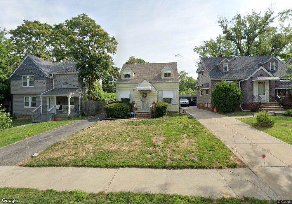
1953 Westburn Ave Cleveland, OH 44112
Euclid-Green NeighborhoodEstimated Value: $53,000 - $94,000
1
Bed
1
Bath
560
Sq Ft
$122/Sq Ft
Est. Value
About This Home
This home is located at 1953 Westburn Ave, Cleveland, OH 44112 and is currently estimated at $68,522, approximately $122 per square foot. 1953 Westburn Ave is a home located in Cuyahoga County with nearby schools including Bolton, Anton Grdina School, and Andrew J. Rickoff School.
Ownership History
Date
Name
Owned For
Owner Type
Purchase Details
Closed on
Nov 6, 2018
Sold by
Deadwyler Zelma
Bought by
Hamlin Darlene
Current Estimated Value
Purchase Details
Closed on
Nov 28, 1980
Sold by
Robert Deadwyler
Bought by
Deadwyler Zelma
Purchase Details
Closed on
Nov 17, 1977
Sold by
Deadwyler Robert and Deadwyler Zelma
Bought by
Robert Deadwyler
Purchase Details
Closed on
Jan 1, 1975
Bought by
Deadwyler Robert and Deadwyler Zelma
Create a Home Valuation Report for This Property
The Home Valuation Report is an in-depth analysis detailing your home's value as well as a comparison with similar homes in the area
Home Values in the Area
Average Home Value in this Area
Purchase History
| Date | Buyer | Sale Price | Title Company |
|---|---|---|---|
| Hamlin Darlene | $20,000 | Chicago Title Insurance Co | |
| Deadwyler Zelma | -- | -- | |
| Robert Deadwyler | -- | -- | |
| Deadwyler Robert | -- | -- |
Source: Public Records
Tax History Compared to Growth
Tax History
| Year | Tax Paid | Tax Assessment Tax Assessment Total Assessment is a certain percentage of the fair market value that is determined by local assessors to be the total taxable value of land and additions on the property. | Land | Improvement |
|---|---|---|---|---|
| 2024 | $1,118 | $17,045 | $3,920 | $13,125 |
| 2023 | $622 | $8,200 | $1,860 | $6,340 |
| 2022 | $618 | $8,190 | $1,860 | $6,340 |
| 2021 | $612 | $8,190 | $1,860 | $6,340 |
| 2020 | $590 | $6,830 | $1,540 | $5,290 |
| 2019 | $545 | $19,500 | $4,400 | $15,100 |
| 2018 | $0 | $6,830 | $1,540 | $5,290 |
| 2017 | $0 | $8,440 | $420 | $8,020 |
| 2016 | $0 | $8,440 | $420 | $8,020 |
| 2015 | -- | $8,440 | $420 | $8,020 |
| 2014 | -- | $8,680 | $420 | $8,260 |
Source: Public Records
Map
Nearby Homes
- 2116 Reyburn Rd
- 2121 Alton Rd
- 1875 Lampson Rd
- 2133 Reyburn Rd
- 1816 Lampson Rd
- 1767 Algonac Rd Unit 2
- 1758 Algonac Rd
- 3595 Runnymede Blvd
- 1762 Alcoy Rd
- 1897 Torbenson Dr
- 3609 Langton Rd
- 3511 Randolph Rd
- 16208 Greyton Rd
- 3547 Randolph Rd
- 825 Helmsdale Rd
- 3598 Atherstone Rd
- 3655 Langton Rd
- 833 Nela View Rd
- 841 Helmsdale Rd
- 839 Nela View Rd
- 1949 Westburn Ave
- 1957 Westburn Ave
- 1945 Westburn Ave
- 1961 Westburn Ave
- 1965 Westburn Ave
- 1960 Reyburn Rd
- 1956 Reyburn Rd
- 1968 Reyburn Rd
- 1952 Reyburn Rd
- 1954 Westburn Ave
- 1937 Westburn Ave
- 1972 Reyburn Rd
- 1958 Westburn Ave
- 1950 Westburn Ave
- 1948 Reyburn Rd
- 2076 Westburn Ave
- 1946 Westburn Ave
- 2080 Westburn Ave
- 1982 Reyburn Rd
- 1944 Reyburn Rd