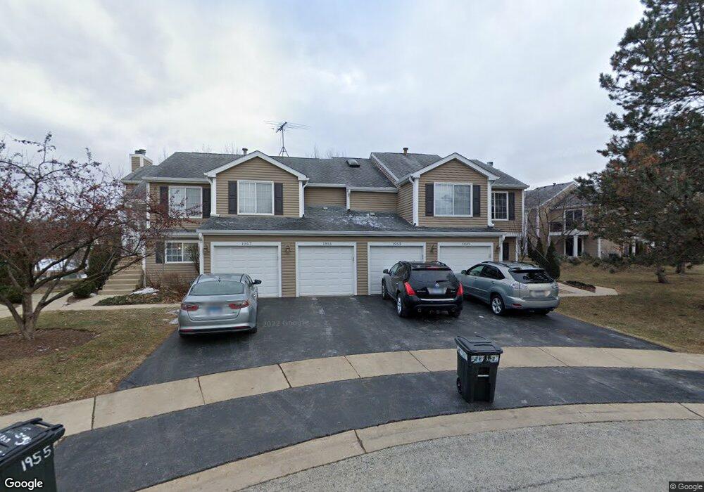
1953 Windsong Dr Unit 314E1 Schaumburg, IL 60194
West Schaumburg NeighborhoodEstimated Value: $253,000 - $303,043
2
Beds
--
Bath
1,200
Sq Ft
$235/Sq Ft
Est. Value
About This Home
This home is located at 1953 Windsong Dr Unit 314E1, Schaumburg, IL 60194 and is currently estimated at $282,011, approximately $235 per square foot. 1953 Windsong Dr Unit 314E1 is a home located in Cook County with nearby schools including Elizabeth Blackwell Elementary School, Dwight D Eisenhower Junior High School, and Hoffman Estates High School.
Ownership History
Date
Name
Owned For
Owner Type
Purchase Details
Closed on
Nov 16, 2018
Sold by
Ditch Jarret A and Ditch Alyssa L
Bought by
Mahairi Amjad
Current Estimated Value
Purchase Details
Closed on
Sep 26, 2008
Sold by
Sakiewicz Evelyn M
Bought by
Ditch Jarret A and Ditch Alyssa L
Home Financials for this Owner
Home Financials are based on the most recent Mortgage that was taken out on this home.
Original Mortgage
$158,709
Interest Rate
5.73%
Mortgage Type
FHA
Create a Home Valuation Report for This Property
The Home Valuation Report is an in-depth analysis detailing your home's value as well as a comparison with similar homes in the area
Home Values in the Area
Average Home Value in this Area
Purchase History
| Date | Buyer | Sale Price | Title Company |
|---|---|---|---|
| Mahairi Amjad | $160,000 | Altima Title Llc | |
| Ditch Jarret A | $180,000 | Multiple |
Source: Public Records
Mortgage History
| Date | Status | Borrower | Loan Amount |
|---|---|---|---|
| Previous Owner | Ditch Jarret A | $158,709 |
Source: Public Records
Tax History Compared to Growth
Tax History
| Year | Tax Paid | Tax Assessment Tax Assessment Total Assessment is a certain percentage of the fair market value that is determined by local assessors to be the total taxable value of land and additions on the property. | Land | Improvement |
|---|---|---|---|---|
| 2024 | $5,956 | $21,332 | $3,490 | $17,842 |
| 2023 | $5,764 | $21,332 | $3,490 | $17,842 |
| 2022 | $5,764 | $21,332 | $3,490 | $17,842 |
| 2021 | $4,738 | $15,671 | $5,497 | $10,174 |
| 2020 | $4,664 | $15,671 | $5,497 | $10,174 |
| 2019 | $4,683 | $17,500 | $5,497 | $12,003 |
| 2018 | $3,305 | $14,460 | $3,403 | $11,057 |
| 2017 | $3,270 | $14,460 | $3,403 | $11,057 |
| 2016 | $3,297 | $14,460 | $3,403 | $11,057 |
| 2015 | $3,067 | $12,900 | $2,966 | $9,934 |
| 2014 | $3,048 | $12,900 | $2,966 | $9,934 |
| 2013 | $2,953 | $12,900 | $2,966 | $9,934 |
Source: Public Records
Map
Nearby Homes
- 1020 Denham Place Unit 1
- 1912 Finchley Ct Unit 3
- 808 Bishop Ct Unit 2
- 1103 Southbridge Ln
- 1121 Southbridge Ln
- 1375 Rebecca Dr Unit 318
- 2216 Andover Ct
- 1475 Rebecca Dr Unit 217
- 1698 Pebble Beach Dr
- 1672 Cornell Dr
- 1685 Cornell Dr
- 2312 Hyde Ct
- 2342 Hamilton Place
- 1901 Kingsley Dr
- 775 Harmon Blvd
- 2201 Brittany Ct Unit 20
- 1415 N Oakmont Rd
- 1763 Bristol Walk Unit 1763
- 604 N Brookdale Dr
- 1475 Crowfoot Cir S
- 1951 Windsong Dr Unit 312E1
- 1953 Windsong Dr Unit 2
- 1955 Windsong Dr Unit 313E1
- 1957 Windsong Dr Unit 311E1
- 1957 Windsong Dr Unit 31-1
- 1963 Windsong Dr Unit 324E1
- 1961 Windsong Dr Unit 322E1
- 1935 Windsong Dr Unit 303E1
- 1935 Windsong Dr Unit 1935
- 1935 Windsong Dr Unit 30-3
- 1937 Windsong Dr Unit 301E1
- 1937 Windsong Dr Unit 30-1
- 1965 Windsong Dr Unit 323E1
- 1931 Windsong Dr Unit 302E1
- 1933 Windsong Dr Unit 304E1
- 1933 Windsong Dr Unit 1933
- 1933 Windsong Dr Unit 30-4
- 1927 Windsong Dr Unit 291E1
- 1973 Windsong Dr Unit 334E1
- 1971 Windsong Dr Unit 332E1