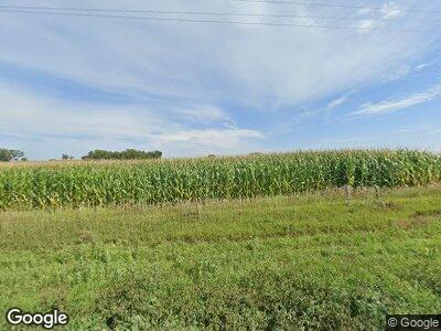
1954 B Rd West Point, NE 68788
Estimated Value: $198,000 - $573,479
3
Beds
1
Bath
1,144
Sq Ft
$337/Sq Ft
Est. Value
About This Home
This home is located at 1954 B Rd, West Point, NE 68788 and is currently estimated at $385,740, approximately $337 per square foot. 1954 B Rd is a home located in Cuming County with nearby schools including West Point-Beemer Junior/Senior High School.
Create a Home Valuation Report for This Property
The Home Valuation Report is an in-depth analysis detailing your home's value as well as a comparison with similar homes in the area
Home Values in the Area
Average Home Value in this Area
Tax History Compared to Growth
Tax History
| Year | Tax Paid | Tax Assessment Tax Assessment Total Assessment is a certain percentage of the fair market value that is determined by local assessors to be the total taxable value of land and additions on the property. | Land | Improvement |
|---|---|---|---|---|
| 2024 | $3,502 | $582,965 | $449,990 | $132,975 |
| 2023 | $4,136 | $528,875 | $398,965 | $129,910 |
| 2022 | $3,769 | $483,355 | $377,880 | $105,475 |
| 2021 | $3,694 | $487,100 | $391,080 | $96,020 |
| 2020 | $4,178 | $498,150 | $422,875 | $75,275 |
| 2019 | $3,914 | $483,185 | $415,350 | $67,835 |
| 2018 | $4,119 | $497,540 | $429,705 | $67,835 |
| 2017 | $4,637 | $463,565 | $401,505 | $62,060 |
| 2016 | $4,681 | $437,525 | $382,440 | $55,085 |
| 2015 | $4,688 | $401,975 | $346,890 | $55,085 |
| 2014 | $3,381 | $347,740 | $294,795 | $52,945 |
| 2013 | $3,381 | $251,135 | $198,615 | $52,520 |
Source: Public Records
Map
Nearby Homes
- 640 E David St
- 939 E Sheridan St
- 301 W Pine St
- 420 S Farragut St
- 205 E Sheridan St
- 402 W Pine St
- 239 S Monitor St
- 219 S Monitor St
- 416 E Grove St
- 125 N Monitor St
- 1402 E Bridge St
- 208 N Lincoln St
- 344 N Main St
- 710 6th St
- 402 Bridge St
- 605 Main St
- 814 Via Linda St
- 345 E Weiler St
- 109 Horton St
- 106 S 9th Ave
