Estimated Value: $447,000 - $584,000
3
Beds
2
Baths
1,784
Sq Ft
$297/Sq Ft
Est. Value
About This Home
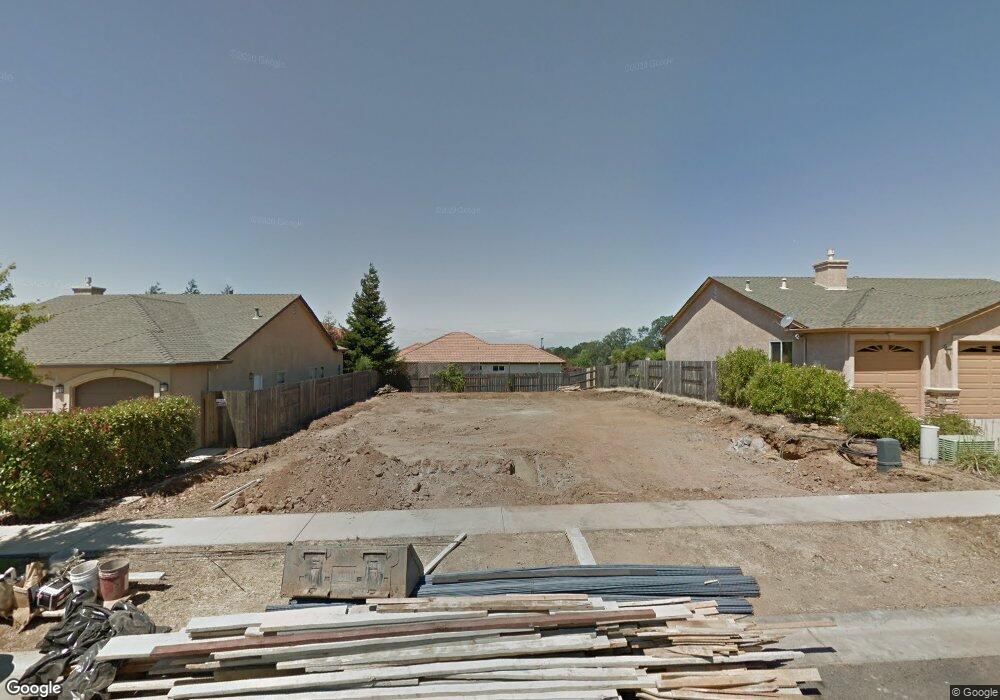
This home is located at 1954 Bancroft Dr, Chico, CA 95928 and is currently estimated at $529,425, approximately $296 per square foot. 1954 Bancroft Dr is a home with nearby schools including Little Chico Creek Elementary School, Harry M. Marsh Junior High School, and Chico High School.
Ownership History
Date
Name
Owned For
Owner Type
Purchase Details
Closed on
Sep 9, 2015
Sold by
Bill Webb Construction Inc
Bought by
The Whitehouse 1988 Family Trust
Current Estimated Value
Purchase Details
Closed on
Nov 5, 2014
Sold by
Ridgecrest Property Group Llc
Bought by
Bill Webb Construction Inc
Purchase Details
Closed on
Aug 17, 2011
Sold by
Umpqua Bank
Bought by
Ridgecrest Property Group Llc
Purchase Details
Closed on
May 18, 2011
Sold by
Mbd Inc
Bought by
Umpqua Bank
Create a Home Valuation Report for This Property
The Home Valuation Report is an in-depth analysis detailing your home's value as well as a comparison with similar homes in the area
Purchase History
| Date | Buyer | Sale Price | Title Company |
|---|---|---|---|
| The Whitehouse 1988 Family Trust | $343,500 | Mid Valley Title & Escrow Co | |
| Bill Webb Construction Inc | -- | Mid Valley Title & Escrow Co | |
| Ridgecrest Property Group Llc | -- | Placer Title Company | |
| Umpqua Bank | $3,200,000 | None Available |
Source: Public Records
Tax History
| Year | Tax Paid | Tax Assessment Tax Assessment Total Assessment is a certain percentage of the fair market value that is determined by local assessors to be the total taxable value of land and additions on the property. | Land | Improvement |
|---|---|---|---|---|
| 2025 | $4,584 | $412,543 | $142,051 | $270,492 |
| 2024 | $4,584 | $404,455 | $139,266 | $265,189 |
| 2023 | $4,551 | $396,526 | $136,536 | $259,990 |
| 2022 | $4,449 | $388,752 | $133,859 | $254,893 |
| 2021 | $4,389 | $381,131 | $131,235 | $249,896 |
| 2020 | $4,371 | $377,224 | $129,890 | $247,334 |
| 2019 | $4,293 | $369,829 | $127,344 | $242,485 |
| 2018 | $4,148 | $362,579 | $124,848 | $237,731 |
| 2017 | $4,040 | $355,470 | $122,400 | $233,070 |
| 2016 | $3,617 | $343,500 | $120,000 | $223,500 |
| 2015 | $977 | $84,300 | $84,300 | $0 |
| 2014 | $723 | $53,280 | $53,280 | $0 |
Source: Public Records
Map
Nearby Homes
- 1941 Preservation Oak Dr
- 2886 Wingfield Ave
- 4 Quillstone Loop
- 1988 Poppy View Terrace
- 1985 Bancroft Dr
- 2992 Wingfield Ave
- 1916 Potter Rd
- 0 Coyote Way Unit SN25050197
- 1802 Notre Dame Blvd
- 1 Parkhurst St
- 2251 Notre Dame Blvd
- 2855 Pin Oak Ln
- 2375 Notre Dame Blvd Unit 9
- 2375 Notre Dame Blvd Unit 1
- 123 Raley Blvd
- 5 Valley Lake Commons
- 26 Sierra Lakeside Ln
- 2050 Springfield Dr Unit 101
- 2050 Springfield Dr Unit 212
- 1 Casa Del Lago Unit 27
- 1950 Bancroft Dr
- 1956 Bancroft Dr Unit 33
- 2851 Longwood Dr
- 1958 Bancroft Dr
- 1951 Potter Rd
- 2853 Longwood Dr
- 2858 Wingfield Ave
- 1960 Bancroft Dr
- 1955 Potter Rd
- 2859 Longwood Dr
- 2862 Wingfield Ave
- 1964 Bancroft Dr
- 1959 Potter Rd
- 1959 Potter Rd
- 2865 Longwood Dr
- 2851 Wingfield Ave
- 2866 Wingfield Ave
- 1948 Potter Rd
- 1 Stonehaven Ct
- 1946 Potter Rd
Your Personal Tour Guide
Ask me questions while you tour the home.