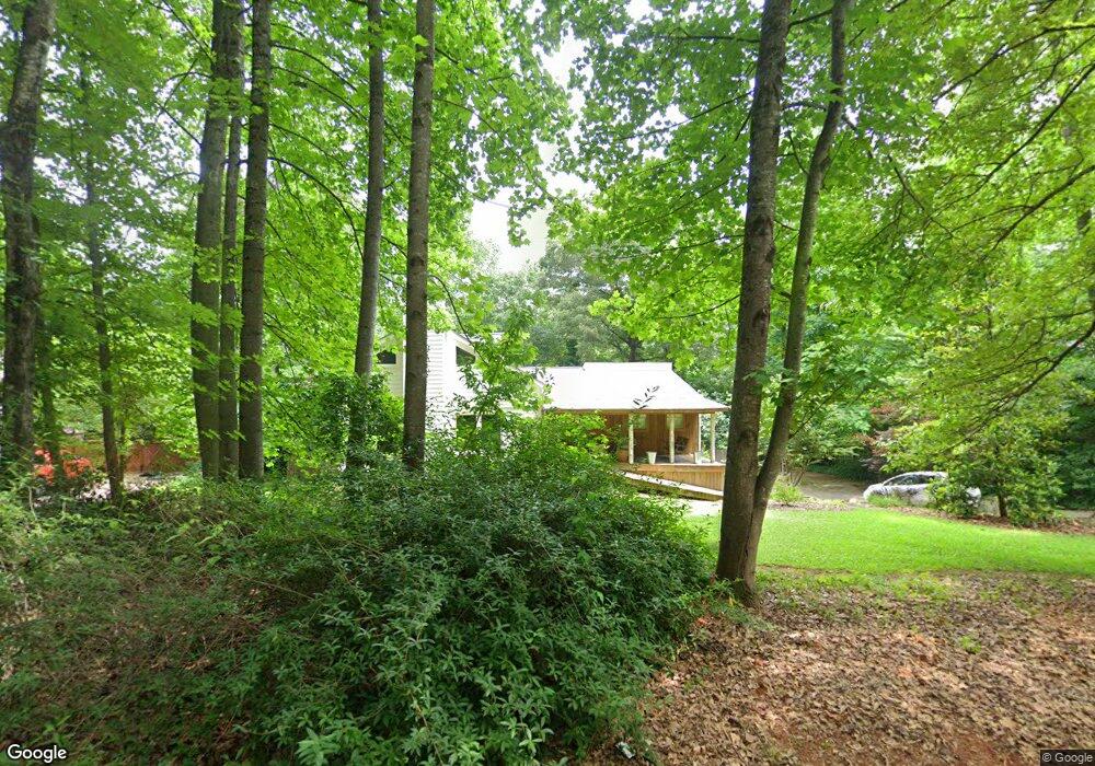
1954 Hastings St Unit 3 Marietta, GA 30062
East Cobb NeighborhoodEstimated Value: $559,000 - $621,000
4
Beds
3
Baths
2,572
Sq Ft
$229/Sq Ft
Est. Value
About This Home
This home is located at 1954 Hastings St Unit 3, Marietta, GA 30062 and is currently estimated at $589,439, approximately $229 per square foot. 1954 Hastings St Unit 3 is a home located in Cobb County with nearby schools including Tritt Elementary School, Hightower Trail Middle School, and Pope High School.
Ownership History
Date
Name
Owned For
Owner Type
Purchase Details
Closed on
Sep 20, 2013
Sold by
Cohen Jeffrey L
Bought by
Pollard James and Battersby Dana Brooke
Current Estimated Value
Home Financials for this Owner
Home Financials are based on the most recent Mortgage that was taken out on this home.
Original Mortgage
$179,920
Outstanding Balance
$134,756
Interest Rate
4.57%
Mortgage Type
New Conventional
Estimated Equity
$454,683
Purchase Details
Closed on
Oct 6, 1995
Sold by
G E Capital Mtg Serv
Bought by
Cohen Leslie Jeffrey
Purchase Details
Closed on
Jun 6, 1995
Sold by
Turman Paul R Myra I
Bought by
Ge Capital Mtgservs Inc
Create a Home Valuation Report for This Property
The Home Valuation Report is an in-depth analysis detailing your home's value as well as a comparison with similar homes in the area
Home Values in the Area
Average Home Value in this Area
Purchase History
| Date | Buyer | Sale Price | Title Company |
|---|---|---|---|
| Pollard James | $224,900 | -- | |
| Cohen Leslie Jeffrey | $115,000 | -- | |
| Ge Capital Mtgservs Inc | $41,500 | -- |
Source: Public Records
Mortgage History
| Date | Status | Borrower | Loan Amount |
|---|---|---|---|
| Open | Pollard James | $179,920 | |
| Closed | Ge Capital Mtgservs Inc | $0 |
Source: Public Records
Tax History Compared to Growth
Tax History
| Year | Tax Paid | Tax Assessment Tax Assessment Total Assessment is a certain percentage of the fair market value that is determined by local assessors to be the total taxable value of land and additions on the property. | Land | Improvement |
|---|---|---|---|---|
| 2025 | $5,391 | $187,948 | $52,000 | $135,948 |
| 2024 | $6,052 | $200,728 | $48,000 | $152,728 |
| 2023 | $5,090 | $168,832 | $32,000 | $136,832 |
| 2022 | $5,124 | $168,832 | $32,000 | $136,832 |
| 2021 | $4,289 | $141,304 | $32,000 | $109,304 |
| 2020 | $4,022 | $132,520 | $28,000 | $104,520 |
| 2019 | $4,022 | $132,520 | $28,000 | $104,520 |
| 2018 | $3,517 | $115,892 | $28,000 | $87,892 |
| 2017 | $3,332 | $115,892 | $28,000 | $87,892 |
| 2016 | $2,866 | $99,704 | $28,000 | $71,704 |
| 2015 | $2,937 | $99,704 | $28,000 | $71,704 |
| 2014 | $2,444 | $82,268 | $0 | $0 |
Source: Public Records
Map
Nearby Homes
- 1942 Hunters Bend Ct
- 3825 Emerson St
- 1680 Bill Murdock Rd
- 3650 Oak Ln
- 2225 Johnson Ferry Rd
- 4039 Tall Pine Dr
- 3495 Mill Bridge Dr Unit 2
- 2237 Chadds Creek Dr
- 4031 Oak Forest Cir
- 3999 Tall Pine Dr
- 3761 Oak Ln
- 3218 Holly Mill Run
- 3741 Bays Ferry Way
- 3246 Able Ct
- 2567 Kingsley Dr NE
- 3917 Brintons Mill
- 3402 Devoe Ct
- 1954 Hastings St
- 1944 Hastings St
- 1960 Hastings St
- 0 Hastings St Unit 8630651
- 0 Hastings St Unit 7618716
- 0 Hastings St Unit 7556690
- 0 Hastings St Unit 7581691
- 0 Hastings St Unit 8987822
- 0 Hastings St Unit 7090399
- 0 Hastings St Unit 7320385
- 1893 Clinton Dr
- 1883 Clinton Dr
- 1953 Hastings St
- 1959 Hastings St
- 1903 Clinton Dr
- 1849 Ardsley Dr
- 1978 Hastings St
- 1947 Hastings St
- 1873 Clinton Dr
- 1973 Hastings St Unit 14