1954 Independence Rd Independence, KY 41051
Estimated Value: $247,000 - $308,000
3
Beds
2
Baths
1,064
Sq Ft
$256/Sq Ft
Est. Value
About This Home
This home is located at 1954 Independence Rd, Independence, KY 41051 and is currently estimated at $272,820, approximately $256 per square foot. 1954 Independence Rd is a home located in Kenton County with nearby schools including Kenton Elementary School, Twenhofel Middle School, and Simon Kenton High School.
Ownership History
Date
Name
Owned For
Owner Type
Purchase Details
Closed on
Jun 30, 2006
Sold by
Owens Deborah K and Skidmore Deborah K
Bought by
Cunningham David A
Current Estimated Value
Home Financials for this Owner
Home Financials are based on the most recent Mortgage that was taken out on this home.
Original Mortgage
$117,600
Outstanding Balance
$79,424
Interest Rate
9.62%
Mortgage Type
New Conventional
Estimated Equity
$193,396
Create a Home Valuation Report for This Property
The Home Valuation Report is an in-depth analysis detailing your home's value as well as a comparison with similar homes in the area
Home Values in the Area
Average Home Value in this Area
Purchase History
| Date | Buyer | Sale Price | Title Company |
|---|---|---|---|
| Cunningham David A | $147,000 | Advanced Land Title Agency |
Source: Public Records
Mortgage History
| Date | Status | Borrower | Loan Amount |
|---|---|---|---|
| Open | Cunningham David A | $117,600 |
Source: Public Records
Tax History
| Year | Tax Paid | Tax Assessment Tax Assessment Total Assessment is a certain percentage of the fair market value that is determined by local assessors to be the total taxable value of land and additions on the property. | Land | Improvement |
|---|---|---|---|---|
| 2025 | $2,502 | $215,100 | $35,000 | $180,100 |
| 2024 | $2,116 | $172,700 | $30,000 | $142,700 |
| 2023 | $2,179 | $172,700 | $30,000 | $142,700 |
| 2022 | $2,241 | $172,700 | $30,000 | $142,700 |
| 2021 | $2,274 | $172,700 | $30,000 | $142,700 |
| 2020 | $1,988 | $147,000 | $30,000 | $117,000 |
| 2019 | $1,993 | $147,000 | $30,000 | $117,000 |
| 2018 | $2,003 | $147,000 | $30,000 | $117,000 |
| 2017 | $1,949 | $147,000 | $30,000 | $117,000 |
| 2015 | $1,891 | $147,000 | $30,000 | $117,000 |
| 2014 | $1,864 | $147,000 | $30,000 | $117,000 |
Source: Public Records
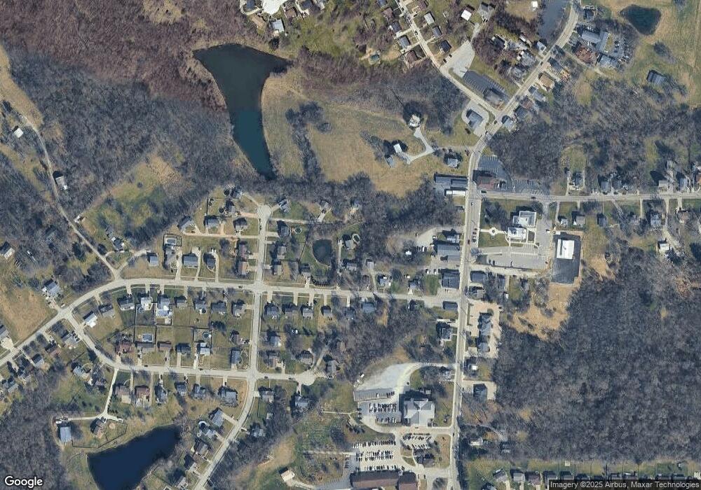
Map
Nearby Homes
- 2033 Flintwood Ct
- 6500 Julia Meadow
- 2144 Hartland Blvd
- 10737 Cypresswood Dr
- 10434 Sharpsburg Dr
- 2037 Patriot Way
- 64 Sherwood Dr
- 1247 Monocacy Ct
- 10362 Petersburg Ct
- 8382 Greenmere Cir
- 1217 Cannonball Way
- 1197 Catletts Ct
- 4448 Oliver Rd
- 1365 Cairns Ct
- 10363 Canberra Dr
- 9971 Meadow Glen Dr
- 10422 Flintrock Bluff
- 9980 Meadow Glen Dr
- 10529 Greenbrook Dr
- 1346 Brisbane Ct
- 1958 Independence R
- 1958 Independence Rd
- 8979 Supreme Ct
- 8975 Supreme Ct
- 1948 Independence Rd
- 1968 Independence Rd
- 8983 Supreme Ct
- 8987 Supreme Ct
- 8971 Supreme Ct
- 8991 Supreme Ct
- 1957 Independence Rd
- 1961 Independence Rd
- 1953 Independence Rd
- 1984 Independence Rd
- 1975 Independence Rd
- 1949 Independence Rd
- 5255 Madison Pike
- 21 Chandral Ct
- 67 Gristone Cir Unit 67
- 1983 Independence Rd
Your Personal Tour Guide
Ask me questions while you tour the home.