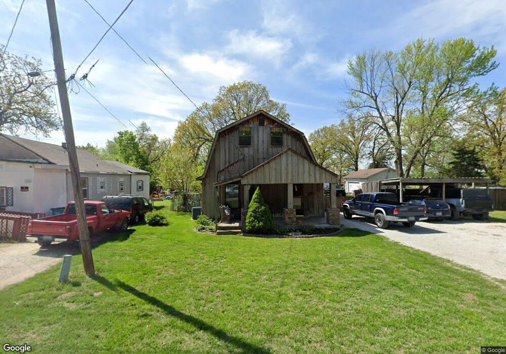
1954 W Thoman St Springfield, MO 65803
Tom Watkins NeighborhoodEstimated Value: $132,000 - $188,000
2
Beds
2
Baths
1,300
Sq Ft
$119/Sq Ft
Est. Value
About This Home
This home is located at 1954 W Thoman St, Springfield, MO 65803 and is currently estimated at $155,014, approximately $119 per square foot. 1954 W Thoman St is a home located in Greene County with nearby schools including Williams Elementary School, Reed Academy, and Hillcrest High School.
Ownership History
Date
Name
Owned For
Owner Type
Purchase Details
Closed on
Apr 27, 2009
Sold by
Walker Aaron O and Walker Gail
Bought by
Morisset Travis and Morisset Roy
Current Estimated Value
Home Financials for this Owner
Home Financials are based on the most recent Mortgage that was taken out on this home.
Original Mortgage
$82,478
Outstanding Balance
$52,920
Interest Rate
5.14%
Mortgage Type
FHA
Estimated Equity
$102,094
Create a Home Valuation Report for This Property
The Home Valuation Report is an in-depth analysis detailing your home's value as well as a comparison with similar homes in the area
Home Values in the Area
Average Home Value in this Area
Purchase History
| Date | Buyer | Sale Price | Title Company |
|---|---|---|---|
| Morisset Travis | -- | None Available |
Source: Public Records
Mortgage History
| Date | Status | Borrower | Loan Amount |
|---|---|---|---|
| Open | Morisset Travis | $82,478 |
Source: Public Records
Tax History
| Year | Tax Paid | Tax Assessment Tax Assessment Total Assessment is a certain percentage of the fair market value that is determined by local assessors to be the total taxable value of land and additions on the property. | Land | Improvement |
|---|---|---|---|---|
| 2025 | $699 | $14,030 | $4,280 | $9,750 |
| 2024 | $601 | $11,210 | $2,660 | $8,550 |
| 2023 | $598 | $11,210 | $2,660 | $8,550 |
| 2022 | $608 | $11,130 | $2,660 | $8,470 |
| 2021 | $608 | $11,130 | $2,660 | $8,470 |
| 2020 | $591 | $10,340 | $2,660 | $7,680 |
| 2019 | $574 | $10,340 | $2,660 | $7,680 |
| 2018 | $576 | $10,390 | $2,660 | $7,730 |
| 2017 | $571 | $10,340 | $2,660 | $7,680 |
| 2016 | $567 | $10,340 | $2,660 | $7,680 |
| 2015 | $562 | $10,340 | $2,660 | $7,680 |
| 2014 | $567 | $10,370 | $2,660 | $7,710 |
Source: Public Records
Map
Nearby Homes
- 1925 W Atlantic St
- 2104 N Park Ave
- 1700 W Atlantic St
- 1639 W Atlantic St
- 2105 N Elizabeth Ave
- 1634 W Lee St
- 2119 N Marion Ave
- 2130 N Elizabeth Ave
- 2117 N Lexington Ave
- 2100 N Park Ave
- 2130 N Park Ave
- 1516 W Lee St
- 2020 N Columbia Ave
- 2024 N Columbia Ave
- 2101 N Grace Ave
- 2234 N Fay Ave
- 2074 N Columbia Ave
- 2237 N Park Ave
- 2406 W High St
- 2217 N Grace Ave
- 1944 W Thoman St
- 1940 W Thoman St
- 2000 W Thoman St
- 1953 W Thoman St
- 1947 W Thoman St
- 1959 W Thoman St
- 1943 W Thoman St
- 1961 W Thoman St
- 1930 W Thoman St
- 2001 W Thoman St
- 2010 W Thoman St
- 1926 W Thoman St
- 1912 N Prairie Ave
- 2011 W Thoman St
- 1920 W Thoman St
- 1927 W Thoman St
- 2018 W Thoman St
- 2015 W Thoman St
- 1946 W Atlantic St
- 1944 W Atlantic St
Your Personal Tour Guide
Ask me questions while you tour the home.