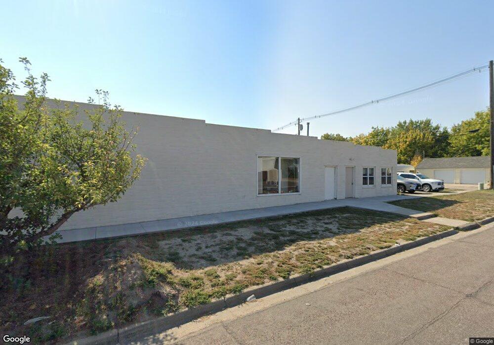
1955 10th St Gering, NE 69341
Estimated Value: $159,610
--
Bed
--
Bath
2,070
Sq Ft
$77/Sq Ft
Est. Value
About This Home
This home is located at 1955 10th St, Gering, NE 69341 and is currently estimated at $159,610, approximately $77 per square foot. 1955 10th St is a home located in Scotts Bluff County with nearby schools including Gering High School and Community Christian Elementary/Middle School.
Ownership History
Date
Name
Owned For
Owner Type
Purchase Details
Closed on
Oct 30, 2020
Sold by
Medearis Jack H and Medearis Sharleen
Bought by
Rechsteiner Jeremy C and Rechsteiner Jennifer L
Current Estimated Value
Home Financials for this Owner
Home Financials are based on the most recent Mortgage that was taken out on this home.
Original Mortgage
$112,875
Outstanding Balance
$100,443
Interest Rate
2.8%
Mortgage Type
New Conventional
Estimated Equity
$59,167
Create a Home Valuation Report for This Property
The Home Valuation Report is an in-depth analysis detailing your home's value as well as a comparison with similar homes in the area
Home Values in the Area
Average Home Value in this Area
Purchase History
| Date | Buyer | Sale Price | Title Company |
|---|---|---|---|
| Rechsteiner Jeremy C | $123,000 | Nebraska Title Co |
Source: Public Records
Mortgage History
| Date | Status | Borrower | Loan Amount |
|---|---|---|---|
| Open | Rechsteiner Jeremy C | $112,875 |
Source: Public Records
Tax History Compared to Growth
Tax History
| Year | Tax Paid | Tax Assessment Tax Assessment Total Assessment is a certain percentage of the fair market value that is determined by local assessors to be the total taxable value of land and additions on the property. | Land | Improvement |
|---|---|---|---|---|
| 2024 | $1,248 | $72,175 | $18,900 | $53,275 |
| 2023 | $1,353 | $63,123 | $17,788 | $45,335 |
| 2022 | $1,353 | $63,123 | $17,788 | $45,335 |
| 2021 | $1,368 | $63,123 | $17,788 | $45,335 |
| 2020 | $1,376 | $63,123 | $17,788 | $45,335 |
| 2019 | $1,342 | $63,123 | $17,788 | $45,335 |
| 2018 | $1,350 | $63,123 | $17,788 | $45,335 |
| 2017 | $1,352 | $63,123 | $17,788 | $45,335 |
| 2016 | $923 | $46,427 | $8,750 | $37,677 |
| 2015 | $920 | $46,427 | $8,750 | $37,677 |
| 2014 | $897 | $44,633 | $8,750 | $35,883 |
| 2012 | -- | $44,633 | $8,750 | $35,883 |
Source: Public Records
Map
Nearby Homes
- 1945 10th St Unit RWMC and COOP Locati
- 1945 10th St
- 1950 11th St
- TBD 10th St
- 1940 11th St
- 1030 T St
- 1930 11th St
- 2027 10th St
- 1040 T St
- 2029 10th St
- 1910 11th St
- 2006 11th St Unit 2010
- 2020 11th St
- 1900 11th St
- 2030 11th St
- 2005 11th St
- 2039 10th St Unit 2045 10th Street
- 2040 11th St
- 2015 11th St
- 1120 T St